First published in March 2008.
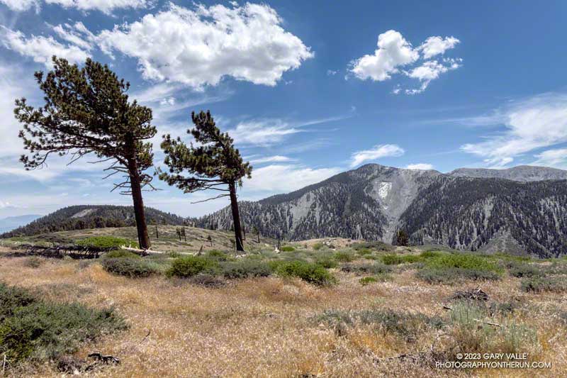
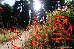
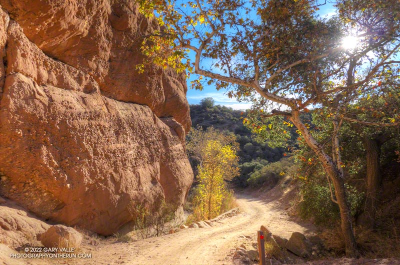
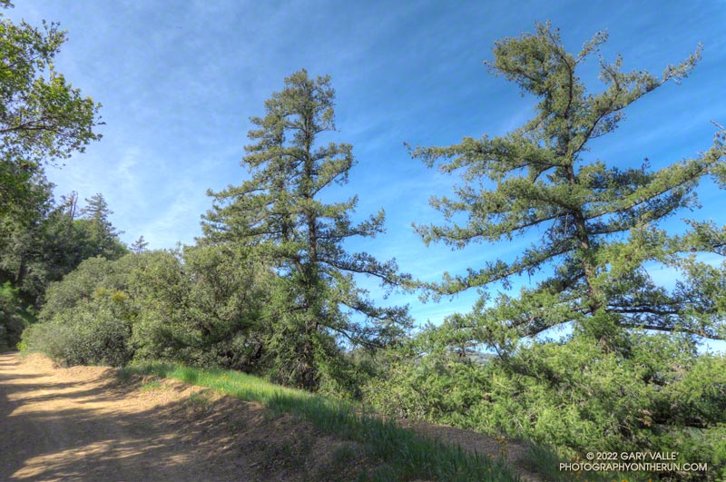
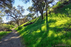
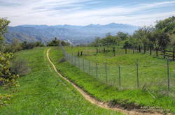
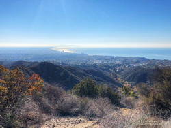
At times the site of a religious colony, a grit mine, an oil field, and a housing development, Las Llajas Canyon is now part of the Marr Ranch Open Space and Rocky Peak Park. Its oak groves, gurgling stream, varied plants, and unique geology make it a popular place to hike, run or ride.
According to California Place Names, Las Llajas might have originated from a misspelling of the Spanish word “llagas,” which literally means sores or wounds. Perhaps this was a reference to the area’s natural oil seeps. These would have been an important resource for the Chumash and early settlers.
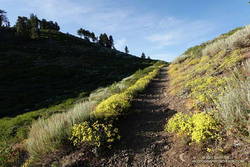
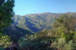
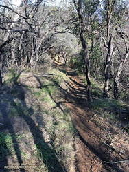
The trailhead for Las Llajas Canyon is on Evening Sky Drive in Simi Valley. From the trailhead, it’s about 3.4 miles up the (mostly) dirt road to a windmill and oak-shaded trail junction. From the junction, a connecting trail crosses the creek and then climbs steeply to Rocky Peak Road. A strenuous 9.2 mile loop — Chumash-Las Llajas Loop — follows this route.
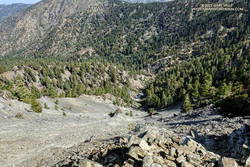
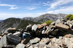
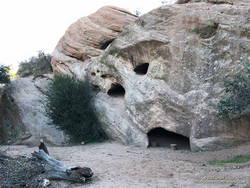
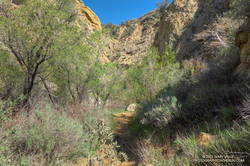
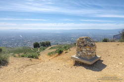
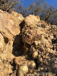
There are also some less-used side trails in Las Llajas Canyon. A use trail on the canyon’s east side starts about 0.4 mile from the trailhead and connects to Rocky Peak Road near the highest point in Rocky Peak Park. A very steep, eroded hill marks the beginning of the route. The trail ends at a large cairn near Rocky Peak Road. Fossiliferous limestone, composed of seashells, is found here. It is similar to that found at Coquina Mine.
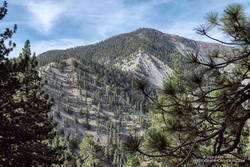
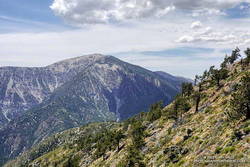
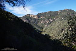
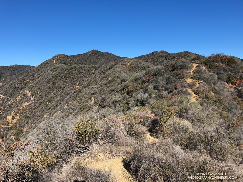
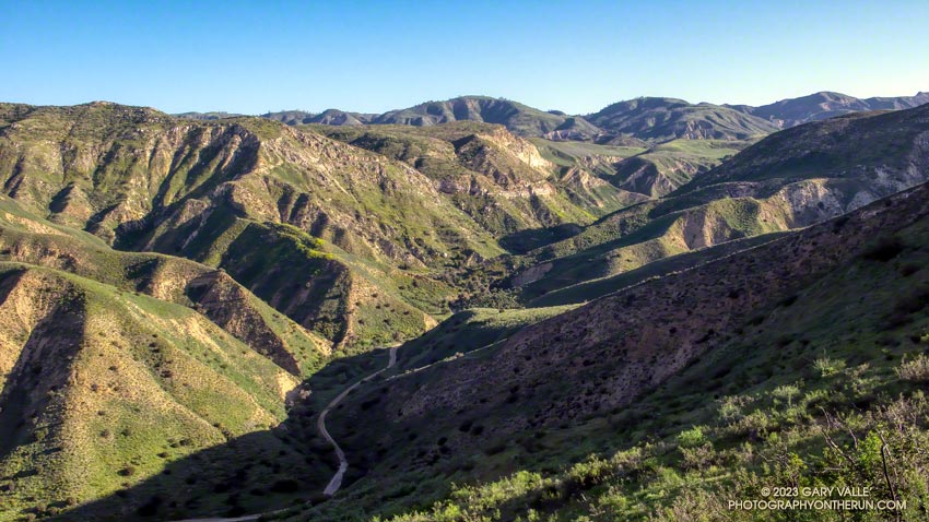
The Coquina Mine trail starts about 1.9 mile from the Las LLajas trailhead. It climbs “Tapo Alto Mountain” on the west side of Las Llajas Canyon and appears to follow the route of a dirt road shown in the U.S.G.S. 1941 Santa Susana Quadrangle topo map.
About a half-mile up the trail splits — the Coquina Mine use trail switches back to the right, while a trail connecting to the Marr Ranch Trail continues straight ahead. After the switchback, the Coquina Mine trail traverses across a steep, rocky face that overlooks Las Lajas Canyon and then continues to the top of the peak. As the trail winds up the mountain, there are bits and pieces of rusted mining equipment and abandoned dig sites — signposts of success and failure on the meandering trail of time.
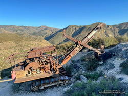
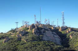
At the end of the trail, a few feet from the summit of the peak is a P&H Model-206 Corduroy power shovel. Nearly out of mountain, its bucket is poised to scoop another load of crushed seashell, waiting for its operator to return. Here’s a short video walk around the power shovel.
From P&H Mining Equipment:
“Thank you so much for this extraordinary image of a P&H 206! Our company built Model 206 machines during the 1920s and 1930s. They were offered in shovel configuration, such as the machine you discovered in Southern California, and also in construction crane, dragline, clamshell, pile driver and backhoe options. It is amazing to behold such a well-preserved Model 206. The arid environment must be a factor.”
The 1941 Santa Susana topo map shows two “COQUINA” mines in the area. They are labeled “TAPO COQUINA MINE” and “COQUINA MINE.” The mines are described in the Ventura County section of a 1947 California Journal of Mines and Geology report, “Limestone in California.” From the report:
“During the last 20 years there has been irregular production from deposits of shell limestone on Rancho Simi, north and east of north from Santa Susana. The quarries are on hills 2 1/2 miles apart and 1 to 2 miles from the Los Angeles County line.”
The report goes on to summarize the operation at Coquina Mine:
“In 1929 Tapo Alto Shell & Fertilizer Company leased the deposit and produced limestone until 1935. They dug limestone with a 1/4-cubic-yard gasoline shovel, and screened and crushed it in a plant having a daily capacity of 15 tons. The principal product was poultry grit…”
A more detailed description of the mine’s operation is found in the 1932 REPORT XXVIII OF THE STATE MINERALOGIST:
“Present quarry is 200 feet long by 70 feet wide, with a 40-foot face. Material is handled by gasoline shovel, having a 1/4-yard dipper, into a l 1/2-ton truck which hauls it about 200 feet to the brow of the hill where it is dumped into a chute 300 feet long. This chute empties into a hopper which discharges into the boot of an elevator; to trommel screen, 4-mesh, screenings to bin, thence to elevator and Cottrell vibrating screens ; products to two-compartment bin ; over-size from trommel to rolls and bin. The plant is so arranged that either product can be put on dump by means of a conveyor. Plant is operated by 25-h.p. Fairbanks Morse gas engine. Plant has a daily capacity of about 15 tons. Products are — 8 + 10-mesh for chickens and — 10-mesh for little chicks.”
Some related posts: Chumash-Las Llajas Loop, Not So Flat Las Llajas Canyon