Tag Archives: Los Angeles

It’s Mid-July And There Is Still Snow in Los Angeles County!

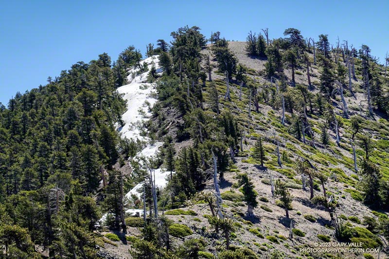
Snow in the lee of the West Ridge of Mt. Baden-Powell.

You might not see it from the Los Angeles side of the mountains, but there is still some snow on the higher, north-facing slopes of the San Gabriel Mountains.

During and after storms, snow-laden southerly winds dump their load on the backside of the crest, creating deep drifts, cornices, and compacted slabs of snow. This snow is often the last to melt, not only because it doesn’t face the sun, but because there is more of it.
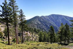
Mt. Burnham, Peak 9086, and Mt. Baden-Powell from near Throop Peak.

This morning, I was doing an out-and-back from the Windy Gap Trailhead in the Crystal Lake Recreation Area to Mt. Baden-Powell. The Windy Gap Trail climbs 1730′ in 2.6 miles, joining the PCT at Windy Gap. From there the trail follows the spine of the San Gabriels past Mt. Hawkins, Throop Peak, and Mt. Burnham to Mt. Baden-Powell.

I usually do this run from Islip Saddle, but with Angeles Crest Highway (Highway 2) closed between Red Box and Vincent Gap, the Islip Saddle trailhead isn’t accessible.
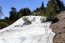
Snow on the west ridge of Mt. Baden-Powell. July 9, 2023.
Snow at about 9100′ on the west side of Mt. Baden-Powell.

Whether you start at Crystal Lake or Islip Saddle, the length of the run is about the same — a bit over 16 miles. The main difference is that the Windy Gap Trailhead is about 800′ lower in elevation. On the plus side, the Windy Gap Trail is very scenic; on the minus side, it faces south and can bake in the midday sun.

On today’s run, I encountered the first snowbanks at an elevation of 8870′, near the Dawson Saddle Trail junction. Out of curiosity, I tried to follow the trail and soon realized that was a mistake. I was more or less forced to skirt the downhill side of a lengthy and deep drift — it being too steep and icy to cross directly.
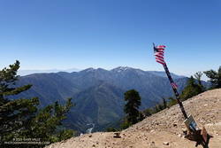
Mt. Baldy from the summit of Mt. Baden-Powell. July 9, 2023.

For the remainder of the run, I switched to the early season tactic of staying on the crest when the trail deviated onto shaded, north-facing slopes. These areas might have significant snow on the trail. This only happens in a few places, such as when the PCT works around Mt. Burnham. There is a use trail that ascends the west ridge of Mt. Burnham, and then returns to the PCT.

The conditions today are reminiscent of those found here in early July 2005. July 3rd of that year there was still snow on the summit of Baden-Powell, and there was deeper snow in the areas where there was snow today. We had a lot of storms this rain season, but in Rain Year 2004-2005 Downtown Los Angeles (USC) recorded about 9 inches more rain than during the 2022-2023 rain year!

Here is a short slideshow of some photos taken on the run. I’ve also included a few photos from the run to Baden-Powell in 2005 for comparison.

Should Los Angeles Have Had More El Nino Rain?

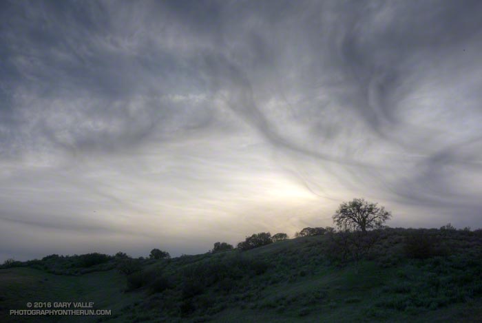
Cirrus clouds

Originally posted January 7, 2016 and rewritten to reflect the current rainfall totals for Downtown Los Angeles. Rain season totals have been updated as of March 31.

Based on 1981-2010 climate normals Downtown Los Angeles (USC) receives, on average, 1.04 inches of rain in November, 2.33 inches of rain in December, and 3. 12 inches in January. This past November Los Angeles recorded only 0.01 inch of rain, and in December only 0.57 inch. January rainfall was a few hundredths above normal at 3.17 inches.

The 2015-16 El Nino is one of the three strongest El Ninos in the past 65 years; the other two were 1982-83 and 1997-98. How does the amount of rain we’ve had so far this rainfall year compare to the other two? Is this El Nino failing to produce the expected amount of rainfall in Los Angeles?

On January 7, when this post  was originally written, the rain year totals were in the same ballpark for the date as during the 1982-83 and 1997-98 El Ninos. That is no longer the case, and Los Angeles rainfall totals are falling far behind those other big El Ninos.

As of January 31 Downtown Los Angeles (USC) has recorded only 6.97 inches of rain for this rain year, which is 0.47 inch below normal. At this point during the 1982-83 El Nino Los Angeles had already recorded 12.98 inches of rain, and in the 1997-98 El Nino 9.15 inches. (See updates below.)

The good news is that the Sierra snowpack is above average. That helps with the water supply, but not so much with naturally-occurring local groundwater and other drought impacts in Southern California. It does help that the Los Angeles rain year total is nearly normal, but I’m still waiting to see running water in upper Las Virgenes Creek.

Remarkably, as of this morning, the medium range models are forecasting dry weather to predominate over the next 10 days or so and both the GFS and ECMWF show a mega-ridge of high pressure developing over the West Coast this weekend.  We’ll see!

Update:

As of March 31 Downtown Los Angeles (USC) has recorded only 9.36 inches of rain for 2015-16 rain year, which is 68.5% of normal. At this point during the 1982-83 El Nino Los Angeles had already recorded 25.72 inches of rain, and in the 1997-98 El Nino 26.89 inches. All the data for the April 1 Sierra Snow Course Measurements are not available yet, but it looks like the snowpack will be around 85% of normal. In 1983 the weighted statewide average snowpack was 227% of normal and in 1998 it was 158% of normal.