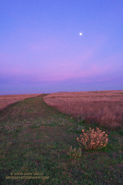
From this evening’s run.

From this evening’s run.
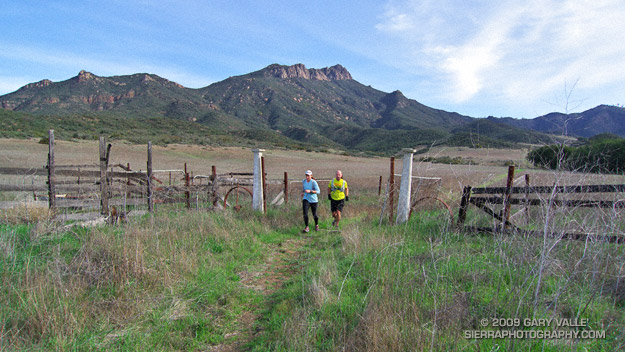
This is one of my favorite medium length trail runs in the Santa Monica Mountains. It starts at the Ray Miller trailhead and explores the scenic grasslands of the Serrano and La Jolla Valleys. Along the way there are spectacular ocean and mountain vistas from the Ray Miller Trail and the summit of Mugu Peak.
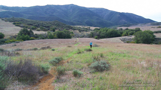
Most of the route is on single track trail, and except for a short out & back segment to “The Ranch” in Serrano Valley, it is a complete loop of about 20 miles. Many variations are possible.
One of the better online maps I’ve found of the area is an Interagency Trail Management Map produced by the NPS Santa Monica Mountains National Recreation Area GIS Lab. It shows the status of trails and public lands in the Santa Monica Mountains and is broken into three parts: West – Central – East. Additional NPS SMMNRA trail management plan maps include Proposed Backbone Trail Facilities and Trails and Proposed Regional Trails.
Here is a Cesium browser View of a GPS trace of our route from the Ray Miller trailhead and through Serrano and La Jolla Valleys.
Related post: Serrano Valley – La Jolla Valley Loop, Serrano Valley from the Chamberlain Trail
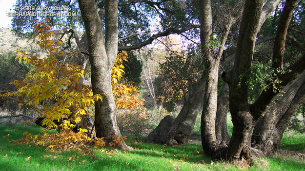
Early morning sunlight filters through the oaks and sycamores in upper Las Virgenes Canyon.
From today’s run of Cheeseboro Ridge from El Scorpion Park at the west end of Vanowen in the San Fernando Valley.
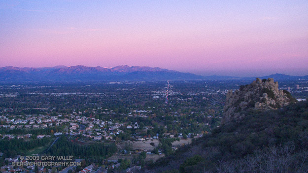
The San Fernando Valley and San Gabriel Mountains from near Castle Peak. The major street extending across the valley is Sherman Way.
From today’s trail run to Castle Peak.
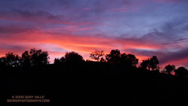
Chasing a sunset,
Trying to catch its tail.
Up a trail, down a trail,
Before it scurries away.
From today’s trail run.
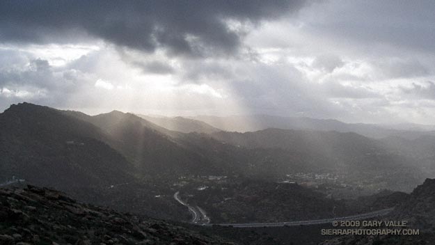
Got caught in some showers this afternoon on Rocky Peak, returning from a rambling trail run from the San Fernando Valley over into Simi Valley.
This was one of those “not sure where I’m going” runs that unfolded as it progressed. It started near Chatsworth Reservoir at Chatsworth Oaks Park, worked over to Santa Susana State Historic Park, then up the Old Stagecoach Road. At the top of the old Stagecoach Road, I picked up the Upper Stagecoach Trail and followed that to Santa Susana Pass and the 118 Frwy. From there it was a short distance down the west side of Santa Susana Pass Rd. to the Lower Stagecoach Trail, which took me to Corriganville.
Once down in Simi Valley there are four trails that ascend to Rocky Peak road, and my return route. From the shortest to the longest, they are the Wildlife Corridor trail, Hummingbird Trail, Chumash Trail and the Marrland/Las Llajas trail. Not sure how long it would take to get back to the SFV, I finally decided on the Chumash Trail.
Running up the Chumash Trail, the wind picked up, the clouds began to lower and thicken, and the temperature dropped. Minutes after turning right onto Rocky Peak road the showers began, and it wasn’t long before the sleeves came out of the pack.
The return trip, with a net elevation loss, went a little quicker than expected. Next time I’ll have to give the Las Llajas option a try. That would extend the run from about 17 miles, to something over 20. The approximate elevation gain/loss on the 17 mile version was a little under 3000 ft.
Related post: Old Santa Susana Stage Road