Maybe it’s because it’s been in the news recently, but when pondering how to characterize today’s trail run, I couldn’t help but think of the JFK quote, “We do these things not because they are easy but because they are hard…” This loop is arduous, adventurous, and challenging. While the difficulty of this route is one of the things that makes it interesting, it isn’t just the difficulty that makes it appealing.
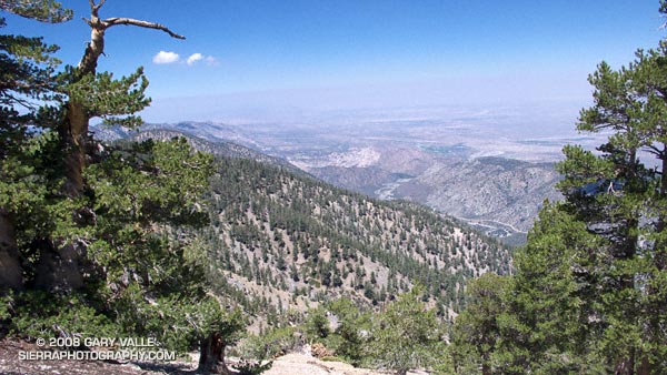
Part of the appeal is the mix of trails and terrain, and the contrasting environments. The high point of the route is 9,399′ Mt. Baden-Powell. Cool, airy and alpine, it is the home of ancient Lodgepole and Limber pines. The low point of the route is 4,560′ South Fork Campground. On the margin of the Mojave Desert, it is often hot and sometimes torrid. Midday temperatures here can reach well over 100°F. The route encompasses life zones ranging from the Upper Sonoran to the Hudsonian, and passes through a variety of plant communities. The San Andreas Fault Zone runs along the base of the mountains, torturing the area’s rocks, and producing a complex and fascinating geology.

From Islip Saddle the route descends the South Fork trail to South Fork Campground, then climbs 5000′ on the Manzanita and Pacific Crest trails to the summit of Mt. Baden-Powell. From here it follows the PCT back to Islip Saddle. In general, the part of the route that is on the PCT — above Hwy 2 — is well marked and maintained. However, on the South Fork and Manzanita trails — below Hwy 2 — you are on your own.
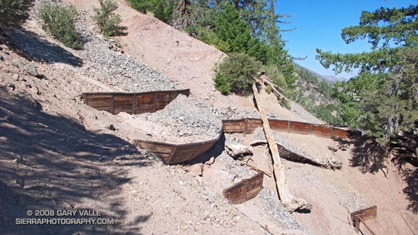
There are rock slides on the South Fork trail, and there are steep, washed out erosion gullies on the Manzanita trail. Recent thunderstorms have further damaged the eroded sections of the Manzanita Trail. In addition, the Manzanita trail crosses boulder-strewn washes that can make the trail difficult to follow. It is not a trail I would want to be on when there is heavy rainfall. The South Fork and Manzanita trails are part of the High Desert National Recreation Trail.
Google Earth images and KMZ files, and more info about the loop can be found in the posts Complications, Wally Waldron Limber Pine, and Heat Wave.
