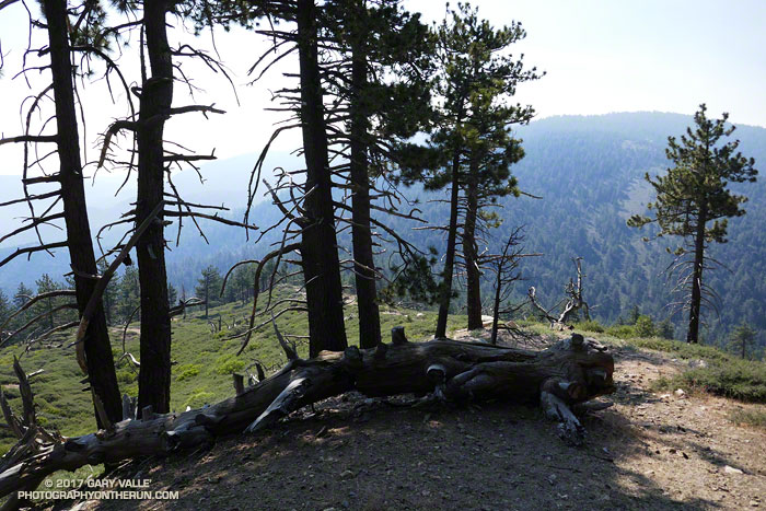
I was glad I didn’t turn around and head back to the car. At the beginning of the run smoke from the Whittier Fire (near Lake Cachuma) covered Mt. Pinos in an ugly shroud. Fortunately, a couple of hours into the run, the wind shifted to the north, removing the smoky veil and greatly improving the visibility and air quality.
Even it was smoky, at least the weather was cool. Following the torrid conditions at the Mt. Disappointment 50K the previous Saturday, and hot weather during the week, cool was good.
Mt. Pinos is often a good choice for escaping the triple digit heat of a Los Angeles heatwave. The elevation of the Chula Vista trailhead (8350′) is higher than the highest trailhead on Angeles Crest Highway — Dawson Saddle (7909′) and about 1000′ higher than the popular Inspiration Point (7370′) trailhead on the PCT.
My usual “Pinos to Abel” run starts at the Chula Vista trailhead and follows a dirt service road to the summit of Mt. Pinos (8831′). At the nearby wildlife viewing area it picks up the Vincent Tumamait Trail and heads west, taking a short detour to Sawmill Mountain (8818′) and the Chumash spirit tower, and then continues toward Mt. Abel (Cerro Noroeste). The trail ends at Cerro Noroeste Road, but a short climb up through the pine trees leads to the summit of Mt. Abel (8280+’) and Campo Alto. On the way back I usually run down the North Fork Trail to the spring at Sheep Camp, and sometimes extend the run by descending to Lily Meadows Camp (6250′).
It’s rare to see other runners doing the Pinos to Abel run. Dan and Dameon first passed me descending from Mt. Pinos. Our paths would cross several times over the course of the morning. They were running in the Mt. Pinos area for the first time and having a great time exploring the trails.
One of those times was on the top of Mt. Abel. They were thinking about hitting Grouse Mountain (8582′) on the way back to Pinos and asked about the route. The use trail to Grouse branches off the Vincent Tumamait Trail near a saddle ENE of the peak and about 0.3 mile west of the North Fork Trail junction. It leads to the northern summit of Grouse’s twin summits in about a quarter-mile.
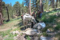
I didn’t do Grouse Mountain today, but did take the North Fork Trail down to Sheep Camp. Today, the plan was to just go a “little way” down the trail below Sheep Camp to see if a particular plant was flowering. Beyond Sheep Camp the North Fork Trail drops like a rock, and it turned into one of those, “I’ll just go a little farther down” kind of things. Before I came to my senses I’d lost nearly 1000′ in elevation while looking for the plant.
After chugging back up to the spring at Sheep Camp, I refilled my Camelbak(TM) and then continued up to the Vincent Tumamait Trail and headed east, retracing my steps to Mt. Pinos, and back to the trailhead.
Some related posts: Thunderstorm, Vincent Tumamait Trail
