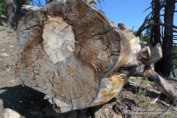
I’ve run past this fallen Jeffrey Pine a number of times. It’s in an area of downed trees located on the western end of the Vincent Tumamait Trail, near Cerro Noroeste road. The trees probably fell after being killed by a fire. It’s a relatively large tree, and I’ve always wondered about its age.
A rough count of the growth rings gives an approximate age of 200 years. The tree ring sequence shows periods of fast growth, associated with above normal precipitation; and periods of slow growth, associated with drought.
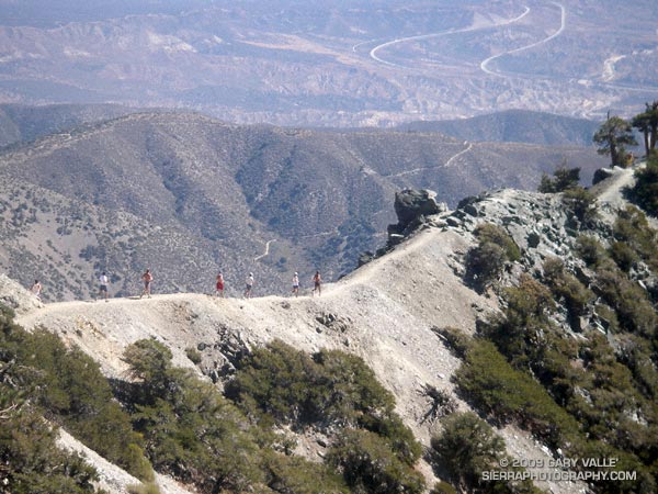
Runners Descending the Devil’s Backbone on Mt. Baldy
It’s a lot more fun working with gravity, than against it! For many runners, the run down from the summit of Mt. Baldy is as much a part of the Run to the Top experience as the race up.
Grueling sections of trail are effortlessly retraced, and there is more of an opportunity to enjoy the Devil’s Backbone, and other spectacular sections of trail. Those needing more mileage skip the chair lift ride down from the Notch, and continue down the service road, following the route of the race.
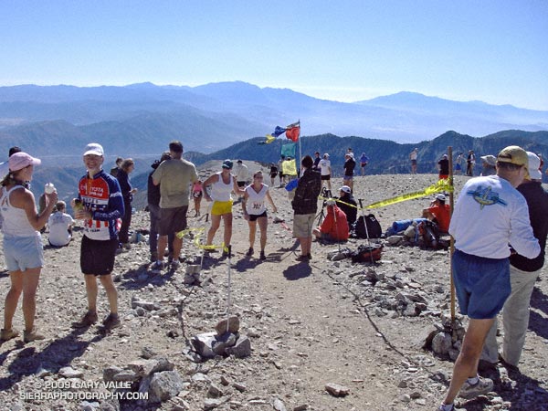
The weather for the 44th edition of the Mt. Baldy Run to the Top was nearly identical to last year, with clear blue skies and temps in the 50’s.
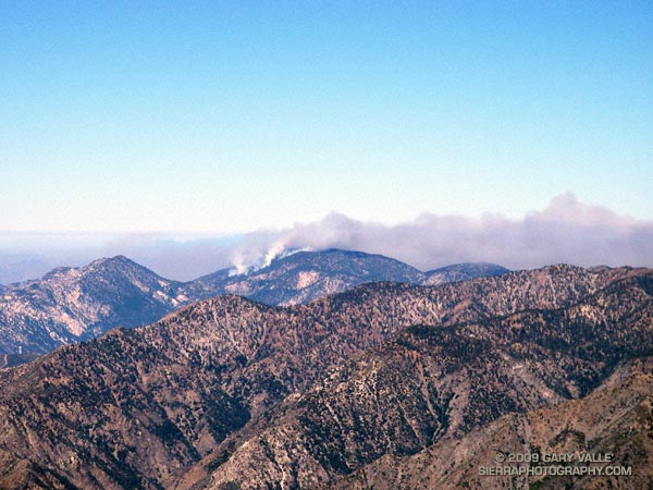
The Station Fire could be seen from the top of Mt. Baldy, but with the wind from the southwest, the smoke was blowing elsewhere.
This challenging mountain run gains about 3800 feet over 7 miles, starting at the bottom of the Mt. Baldy ski lift parking lot and ending on the summit of 10,064′ Mt. Baldy. Here’s a Cesium browser View of a GPS trace of the course.
This year the men’s overall winner was Jonathan Toker in a time of 1:12:11, and the women’s overall winner was Hannah Valenzuela in a time of 1:26:03. For all of the results see the Run to the Top web site. Many thanks to the race organizers, volunteers, USFS, Mt Baldy Ski Lifts and the Mt. Baldy Fire Department for a great race!
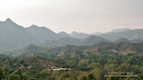
Was looking to do something different that my usual suite of weekday runs, and possibly escape the heat of the San Fernando Valley and the smoke of the Station Fire.
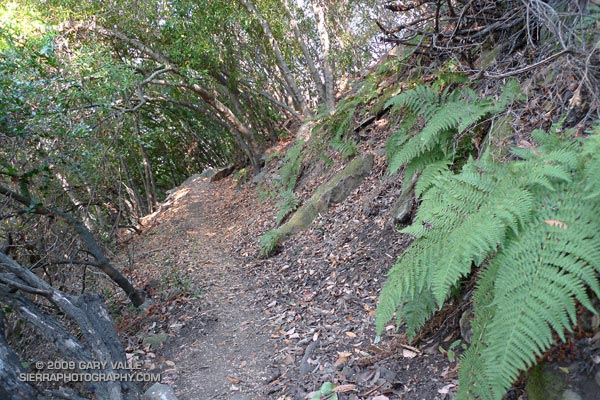
Didn’t escape the heat or the smoke, but did get in a good 8 mile out & back run on the Backbone Trail in the Santa Monica Mountains.
This run is a shorter version of a 13 mile run that starts at Piuma Rd. & Malibu Cyn. Rd. and ascends Saddle Peak. The turnaround point for the 8 mile version is at a saddle marked by a broken fence post, about a mile before the Stunt High Trail junction.