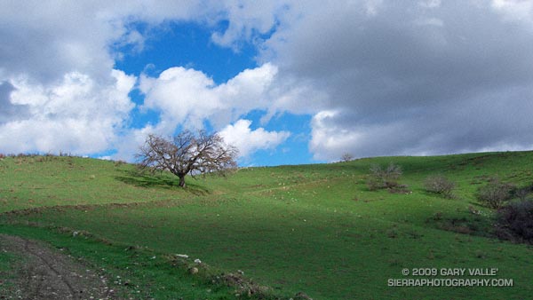
Hill 2484 is near the top of the oil field service road that connects Las Llajas Canyon to Rocky Peak fire road.
From Sunday’s Bandit 30K Course Preview run.
Some related posts: Chumash-Las Llajas Loop, Chumash Trail Rocks & Snow

Hill 2484 is near the top of the oil field service road that connects Las Llajas Canyon to Rocky Peak fire road.
From Sunday’s Bandit 30K Course Preview run.
Some related posts: Chumash-Las Llajas Loop, Chumash Trail Rocks & Snow
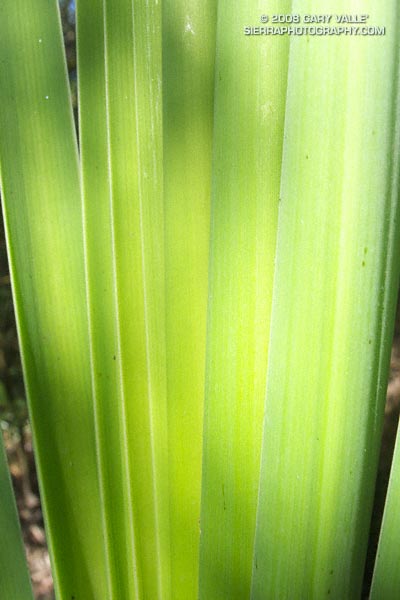
One hundred degrees
A willowed stream
Late afternoon sun
And linear green.
Study of cattail leaves in afternoon sun.
From a run to Las Virgenes Creek from the Victory trailhead of Upper Las Virgenes Canyon Open Space Preserve (formerly Ahmanson Ranch).
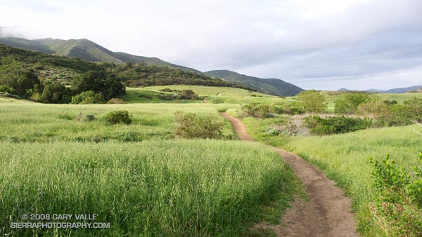
A segment of the Satwiwa Loop Trail at Rancho Sierra Vista/Satwiwa in Newbury Park, California.
From Sunday’s run/hike over Boney Mountain.
Google search: $g(landscape photography), $g(trail running)
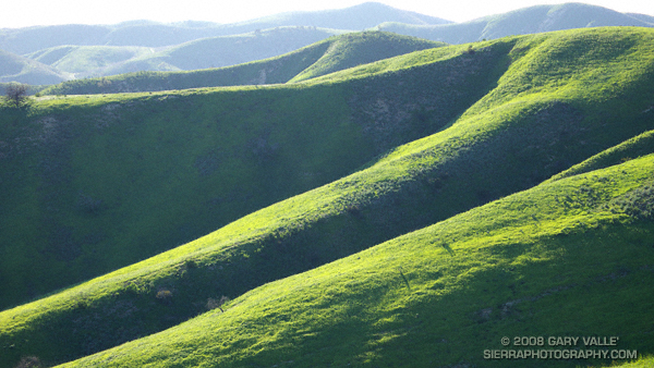
From a run last week at Ahmanson Ranch — now Upper Las Virgenes Canyon Open Space Preserve.
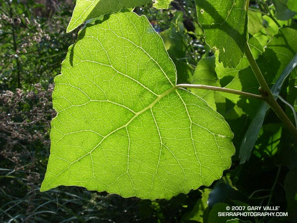
Who hasn’t pondered the intriguing network formed by the interconnected veins of a leaf? Like many apparently complex self-organized structures, there is a recognizable pattern, but the basis of the pattern is difficult to grasp.
Remarkably, research published in 2002 (S. Bohn et al., Phys. Rev. E, June 2002.) found that there is a simple relationship governing the angles between vein segments in the leaves of dicotyledons, and that this relationship is universal. The study also found that the observed vein angles can be reproduced using a simple force model.
Numerical analysis of leaf scans revealed that the angles between vein segments are directly related to the thickness of the segments. When the vein sizes are similar, the connection appears to form a three-way junction with the angle between the veins about 120 degrees. If the vein sizes are dissimilar, with one much larger than the other, the smaller vein joins the larger at about a 90 degree angle.
The photograph is of a leaf of a Fremont cottonwood (Populus fremontii) along Las Virgenes Creek in Upper Las Virgenes Canyon Open Space Preserve. It was taken on a run from the Victory trailhead on May 16, 2007.
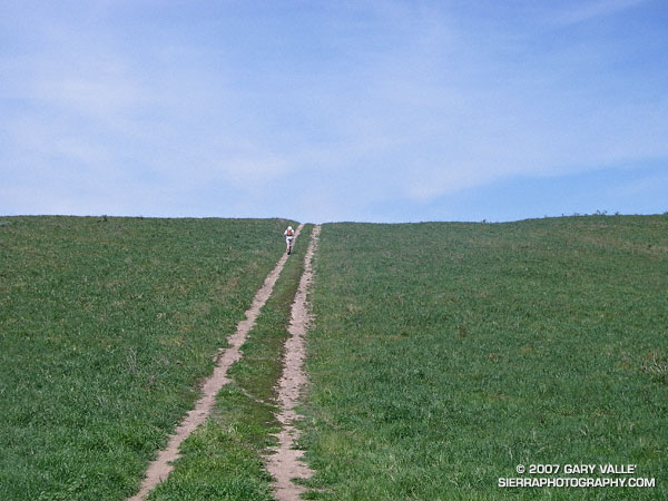
Runner on a track that connects Rocky Peak fire road to Las Llajas Canyon in Rocky Peak Park. From the top of this hill there is approximately 4 miles of fast downhill through a scenic canyon garnished with out of service oil wells and a gurgling creek.
Related post: Chumash – Las Llajas Loop.