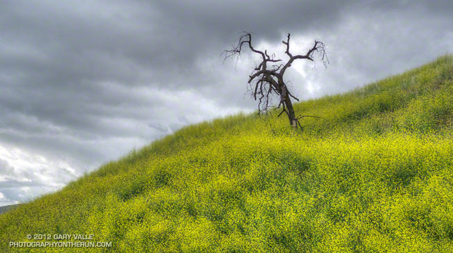
The problem with mustard is that it is prolific. It out-competes native annuals, and native and non-native grasses. In oak grasslands this can produce brush conditions that should a fire occur, it is likely to kill more trees.
A heavy growth of mustard was probably a factor in the death of the valley oak pictured above. It was burned in the 2005 Topanga Fire.
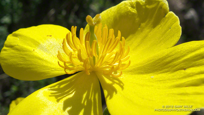
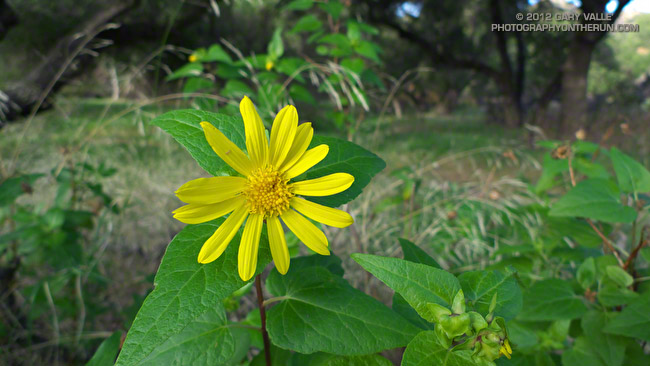
The bright yellow flower above is bush poppy (Dendromecon rigida). A fire follower, it’s blooming extensively in the recovering chaparral along the Gabrielino Trail between Red Box and Switzer Picnic area.
March snow and rain seem to have helped this Spring’s wildflower bloom. Since March 1 the Remote Automated Weather Station (RAWS) at nearby Clear Creek has recorded 6.5 inches of rain and NWS data shows Opids Camp has recorded 6.64 inches of rain. More rain and snow is forecast in the mountains this week.
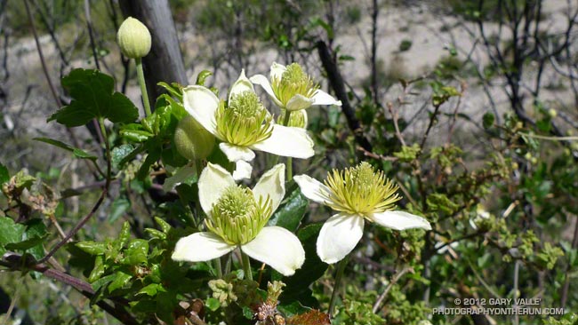
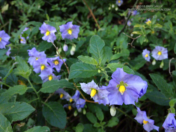
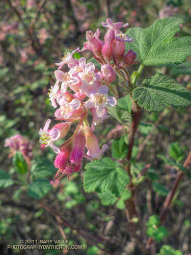
Here are a few additional wildflower photos from this morning’s run in the Station Fire burn area:
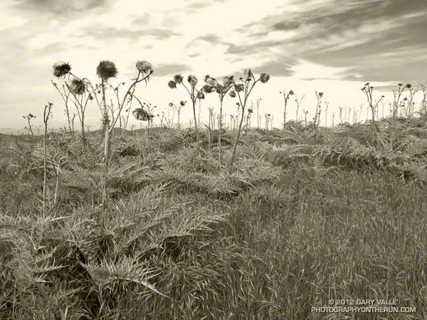
I would not have guessed these alien-looking thistle plants along the XTERRA race course in Black Mountain Regional Park are a wild form of the cultivated globe artichoke.
In its description of the artichoke thistle, the California Invasive Plant Council (Cal-IPC) notes the Mediterranean plant was found by Charles Darwin in South America in 1833. It had already escaped cultivation and spread over “several hundred square miles” of the Argentine pampas. Surveys in California from 1860 to 1864 also reported the artichoke as having escaped cultivation. The plant was reported in a pasture in San Diego County as early as 1897.
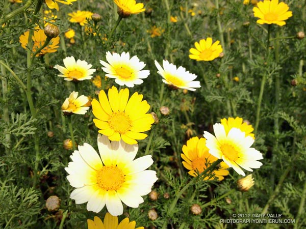
Another surprise was that the pretty yellow and white flowers along some sections of the course appear to be another Mediterranean plant known as crown daisy or chop-suey greens (Glebionis coronaria). If so, the plant is reportedly used as an ingredient in a number of Asian recipes.
Note: Great care is required when identifying and using wild food plants. Even if the plant is positively identified there can be contamination from herbicides and pesticides, and other potential problems. There may also be conservation concerns, especially if the plant is uncommon, rare or endangered. For example see Safety Guidelines For Edible Wild Food Plants and Foraging Guidelines.
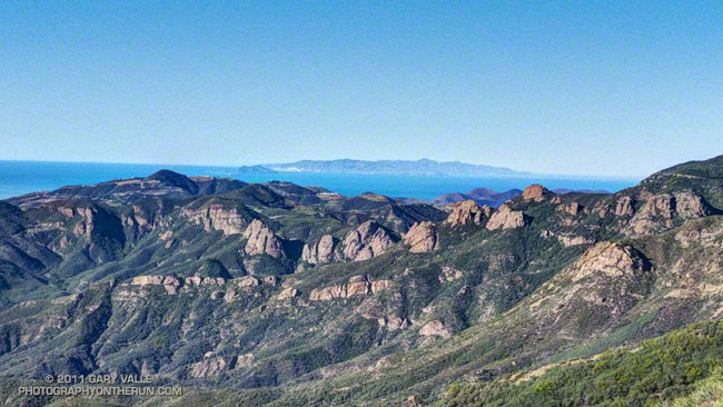
The view above is of crags in the Circle X area and the Channel Islands from the Etz Meloy section of the Backbone Trail in the Santa Monica Mountains.
From today’s out and back run on the Backbone Trail from Kanan Road to a viewpoint on Etz Meloy Mtwy fire road. The fire road continues west about a mile and links to the Yerba Buena segment of the Backbone Trail.
The segment between Kanan Road and Yerba Buena Road includes the two remaining gaps in the Backbone Trail — the 0.1 mile Etz Meloy gap and the 0.4 mile Upper Trancas gap.
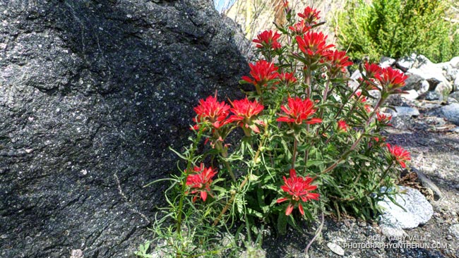
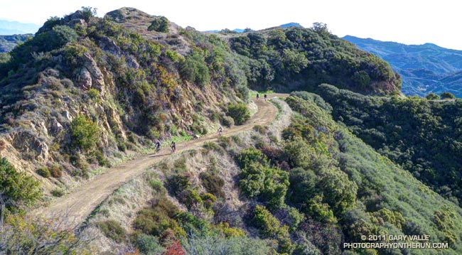
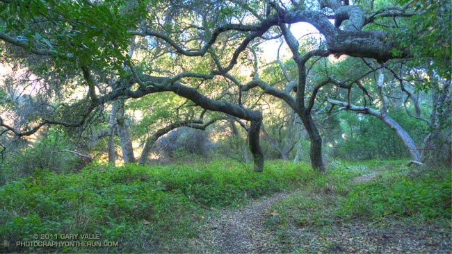
Here are a few additional photographs from the run: