Category Archives: photography

Collective


Lichens on Chatsworth Formation sandstone at Sage Ranch.


Lichens are composite lifeforms, usually comprised of a fungus and algae, or a fungus and cynobacterium. Generally, the fungus provides shelter and needed minerals, and the algae, using photosynthesis, provides food. This community is on Chatsworth Formation sandstone at Sage Ranch.


There is a tendency to think of living things, including ourselves, in the singular. But most life is a intertwined assemblage of cooperating organisms, from the very small to the very large, living in harmony. Circle within circle, life within life.

Complications

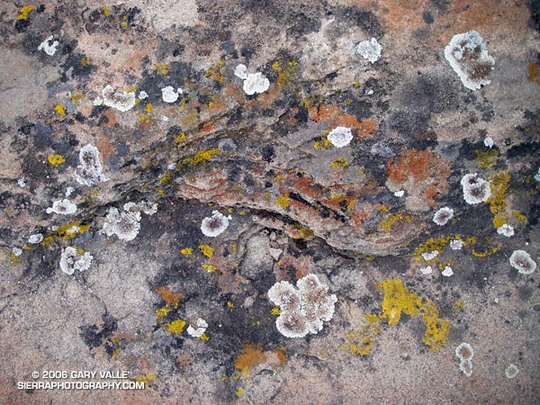
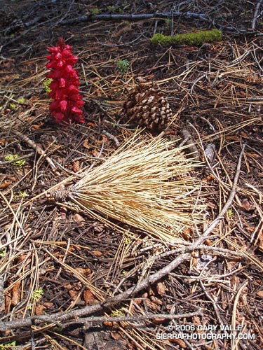
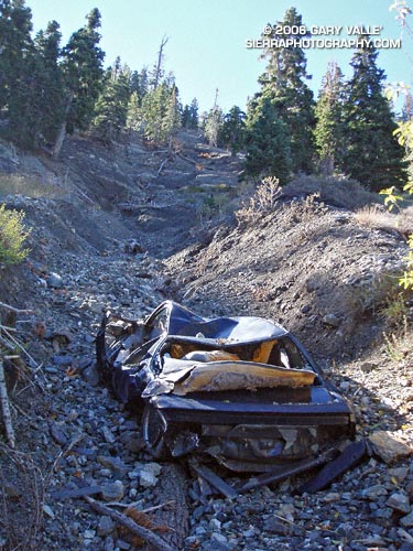
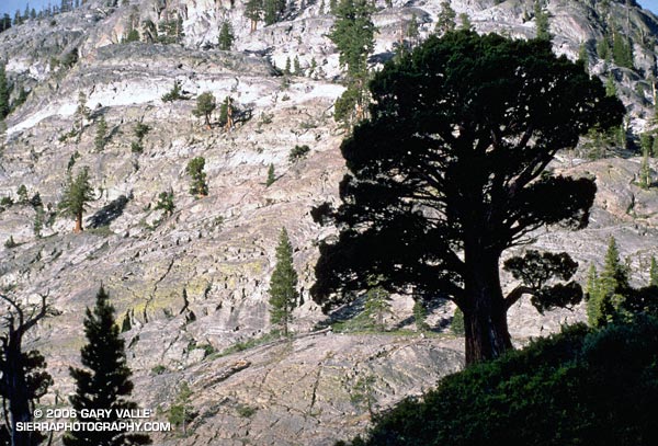
This photograph was taken October 23, 2005, on one of my favorite loops in the San Gabriel Mountains. This adventurous route starts at Islip Saddle, follows the South Fork trail down to South Fork Campground, then takes the Manzanita Trail up to Vincent Gap and the Pacific Crest Trail. From here, the PCT is followed up, and with a slight detour, over Mt. Baden-Powell, and then along the crest of the San Gabriels back to Islip Saddle. It’s a very wild and scenic 23 mile run that covers a wide range of elevations. South Fork Campground is at 4,560 ft., and the summit of Baden-Powell is at 9399 ft. Total elevation gain and loss on the run is well over 5000 ft.

This year, it might make more sense to start this loop at Vincent Gap. In order to protect critical habitat of the mountain yellow-legged frog, the Forest Service has closed 1,000 acres in the upper Little Rock Creek drainage, including Williamson Rock, and the PCT between Eagle’s Roost and the Burkhart Trail. In addition, Angeles Crest Highway (SR2) is now closed at Cedar Springs, just west of Eagles Roost.

Update May 21, 2009. Angeles Crest Highway (SR2) has since been re-opened to Islip Saddle, and through to Wrightwood.

For more information regarding the closure of Williamson Rock and the related PCT Detour see the Angeles National Forest web site and Re-Open Williamson Rock on the Access Fund web site.

The post Wally Waldron Limber Pine includes links to a Google Earth image and Google Earth KMZ file of this route.

PLEASE NOTE: The condition of certain sections of the Manzanita and South Fork trails is marginal, and rock slides and washouts may block the trail.

Snow Plant Still Life

A snow plant and other forest floor elements highlighted by a shaft of sunlight.

A snow plant and other forest floor elements highlighted by a shaft of sunlight. The photo was taken on a rambling out and back run of about 25 miles from the lower McGill trailhead to Mt. Pinos and Mt. Abel on July 24, 2005.

Here’s a Google Earth image and Google Earth KMZ file of a GPS trace of my route.

For additional snow plant photographs, see the posts Three Points – Mt. Waterman Loop and Snow Plant, and also Snow Plant on SierraPhotography.com.

San Joaquin Juniper


Juniper on the Middle Fork of the San Joaquin River.


This photograph was taken early in the morning in the canyon of the Middle Fork of the San Joaquin River, on a solo trail run from Agnew Meadows to Tuolumne Meadows in Yosemite National Park, in the Summer of 1986 or 1987. My route followed the river trail to Thousand Island Lake, and then the PCT over Island and Donohue Passes, and down Lyell Canyon to the Tioga Road. It was a wonderful and adventurous run in a stunning area.