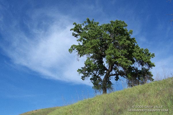
From a run at Ahmanson Ranch.

From a run at Ahmanson Ranch.
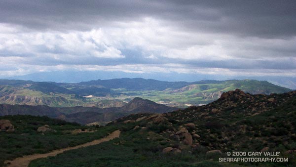
Brrr… I picked up the pace — even with long sleeves it was COLD on Rocky Peak Road. Another in a series of blustery April systems was stirring up the weather in Southern California. Thickening clouds spritzed rain, and a belligerent wind told me in laughing gusts that I could not run fast enough to stay warm.
Occasionally a patch of sun would find its way through the clouds, briefly warm and encouraging. I needed only to think of the 100 degree days ahead to appreciate the chilly temps.
Another cool system is forecast to move through Southern California on Friday, bringing with it a chance of rain — and more great running weather. Easter weekend should be spectacular!
Some related posts: Simi Valley from Rocky Peak, San Fernando Valley from Rocky Peak
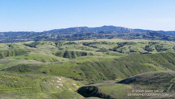
From what I can tell looking at the topo, Hill 1842 is the high point of Ahmanson Ranch — now Upper Las Virgenes Canyon Open Space Preserve. Here’s a wider view of Lasky Mesa from this vantage point, and then here’s what Hill 1842 looks like from Lasky Mesa.
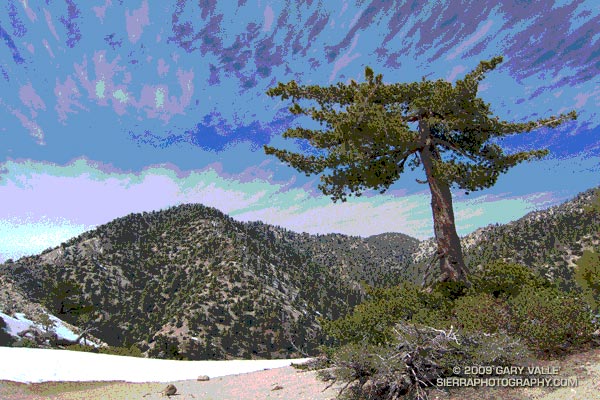
After a nostalgic hike to the bottom of Switzer Falls, drove to Islip Saddle to check out the snow conditions. Clouds ahead of Sunday’s storm prompted a short run along Kratka Ridge to photograph some of the stunted sugar pines. Here’s the unaltered version of the title image.
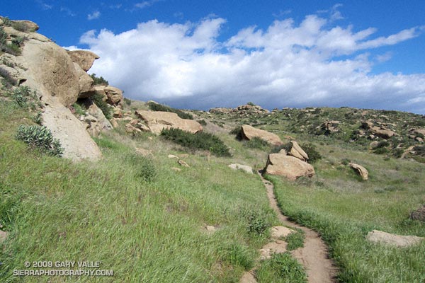
Hummingbird Trail
The Lower Stagecoach – Hummingbird loop is a shorter, somewhat less strenuous alternative to the Chumash – Hummingbird and Chumash – Las Llajas loops. Approximately 6 miles long, about a mile of the route is on pavement, with the remainder on single track trail and fire road. The elevation gain/loss on the loop is about 1300 ft.
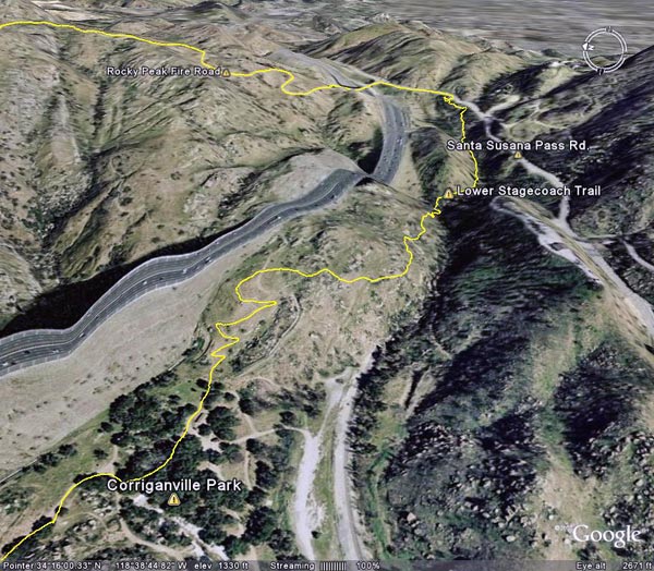
I usually start the loop at Santa Susana Pass and pick up the Lower Stagecoach Trail a short distance west of the pass down Santa Susana Pass Rd. The route climbs out of the canyon before descending to Corriganville Park. It does not follow the old road bed (with a lot of poison oak) down the canyon, or cross the Metro Link railroad tracks.
As discussed in the post Chumash – Hummingbird Loop, the area on Kuehner Dr. near the start of the Hummingbird Trail is being developed, but it appears that development has been suspended. The Hummingbird trailhead is located at the end of Kuehner Dr., near the entrance to Hummingbird Ranch. Trail signs have been placed indicating the route of the trail over park district property. Here’s a Google Earth image and Google Earth KMZ file of a GPS trace of the loop.
Some related posts: Chumash – Hummingbird Loop, Chumash – Las Llajas Loop, Old Santa Susana Stage Road
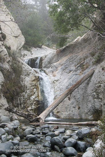
Tiered Falls Downstream of Switzer Falls
I have a passion for the outdoors, exploration, and adventure. I’m always looking for a reason to be outside, and this has inevitably led me to activities such as climbing, kayaking, skiing, hang gliding and running. The common thread in these pursuits isn’t necessarily the challenge, or the adrenalin, or attaining a particular goal, but is the pure joy of being in the mountain environment and relishing what it has to offer.
To feel the sun and imagine the clouds. To listen to the wind on the pines, and the song of a stream. To savor the taste of a wild herb, or the sweet smell of a wildflower. To revel in the purity of untouched snow, or the green of a mountain meadow. To run from a thunderstorm, or feel the relief of a good handhold. Climbing to airy summits. Hiking to heart-pounding passes. Descending “impassable” canyons. Experiencing cold bivouacs and star filled nights. Simply to be there.
The photograph of the tiered falls is from today’s hike to the plunge pool at the bottom of Switzer Falls in the San Gabriel Mountains, near Los Angeles. Gary Gunder and I kayaked the double falls when we paddled Arroyo Seco creek from Switzer Picnic Area to the JPL in Pasadena in 1998.
Related link: Kayaking Arroyo Seco from Switzer Falls to Bear Creek