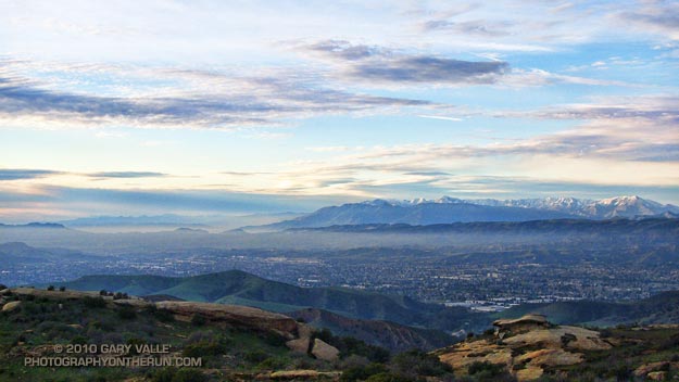
There’s snow in just about every mountain range of Southern California following last week’s series of storms. This subdued sunset view is of the Simi Valley and the Topatopa Mountains.
From this evening’s run in the Simi Hills.

There’s snow in just about every mountain range of Southern California following last week’s series of storms. This subdued sunset view is of the Simi Valley and the Topatopa Mountains.
From this evening’s run in the Simi Hills.
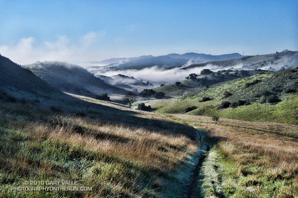
Six days of rain had finally come to an end. Soaked hillsides steamed in the morning sun; but still in shadow, tussocks of grass along the dirt road wore a thick coat of frost. Running west on the main drag in Ahmanson Ranch, we were working our way over to Cheeseboro Canyon.
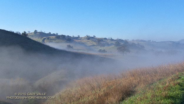
Whether the conditions were imperfect or perfect was a matter of perspective. Yes, it had been a little muddy and wet, but that was part of the experience, and part of the morning.
In some places droplets of water refracted and reflected tiny spectra of color, while in others flat plates of frost glittered in the sun. Running along a rejuvenated creek, the smell of wet earth mixed with the rich organic odors of old willow leaves and other vegetation.
Away from the trailhead there was not a hiker, runner, rider or mountain biker to be seen. Remarkably, even in Cheeseboro Canyon no one was on the trail.
Sometimes I’m asked,”What are you training for?” Being able to enjoy a run like today’s is my reply.
Computer models and other tools continue to forecast a shift to an “El Nino like” upper flow pattern next week that could result in an extended period of wet weather in Southern California. I’ll be updating Southern California Weather Notes on Wednesday with additional info.
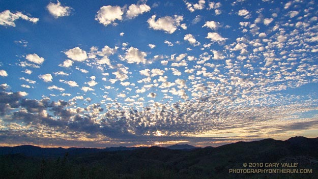
The photograph of patterned altocumulus clouds is from this afternoon’s trail run along the northern boundary of Ahmanson Ranch, near Los Angeles.
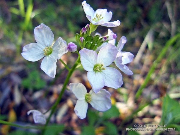
Following the little bit of wet weather we had at the end of the year, Southern California has been enjoying idyllic weather with highs in the 70’s and 80’s. Southland cities recorded the highest temperature in the continental U.S. several days this week. Tuesday San Diego recorded a high of 84 degrees, tying Kalaeloa, Hawaii for the warmest temperature in the nation.
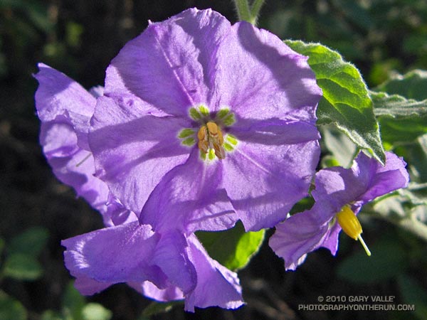
The weather’s been great for trail running — and for the chaparral plants. Alternating periods of wet weather and warm weather have encouraged growth and flowering, and I’ve been seeing a number of rainy season wildflowers. In addition to the milkmaids in the photograph above, some of the early bloomers include nightshade, peony, shooting star, woolly blue curls, prickly phlox, chaparral mallow, rattlesnake weed, and several others.
Rainfall totals in Southern California this rain season to date have generally ranged from an inch or so above normal to an inch or so below (WRCC). As of yesterday, Downtown Los Angeles (USC) precipitation was 0.56 inch above the norm for the water year to date. Although January has been dry so far, it looks like we may see a shift to more seasonable — and wetter — weather around midweek next week.
The precipitation pattern we’ve seen on the West Coast so far this rain season has a bit of an El Nino flavor to it, and that pattern may become better defined in the coming weeks. Today’s 6-10 day and 8-14 day precipitation outlooks from the Climate Prediction Center indicate above average rainfall for Southern California. We’ll see!
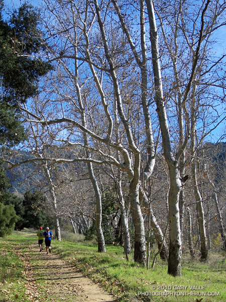
Shorts and short sleeves. Temperature 75 degrees.
From today’s run from Kanan Rd. (Tunnel #1) to Tapia Park by way of Newton Canyon, upper Solstice Canyon, Castro Crest, Bulldog Motorway, Century Lake, and the Tapia Spur Trail.
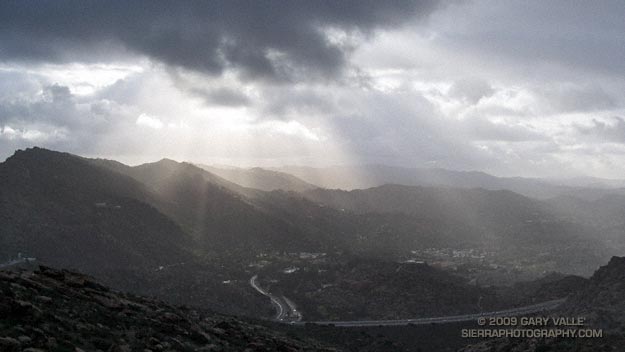
Got caught in some showers this afternoon on Rocky Peak, returning from a rambling trail run from the San Fernando Valley over into Simi Valley.
This was one of those “not sure where I’m going” runs that unfolded as it progressed. It started near Chatsworth Reservoir at Chatsworth Oaks Park, worked over to Santa Susana State Historic Park, then up the Old Stagecoach Road. At the top of the old Stagecoach Road, I picked up the Upper Stagecoach Trail and followed that to Santa Susana Pass and the 118 Frwy. From there it was a short distance down the west side of Santa Susana Pass Rd. to the Lower Stagecoach Trail, which took me to Corriganville.
Once down in Simi Valley there are four trails that ascend to Rocky Peak road, and my return route. From the shortest to the longest, they are the Wildlife Corridor trail, Hummingbird Trail, Chumash Trail and the Marrland/Las Llajas trail. Not sure how long it would take to get back to the SFV, I finally decided on the Chumash Trail.
Running up the Chumash Trail, the wind picked up, the clouds began to lower and thicken, and the temperature dropped. Minutes after turning right onto Rocky Peak road the showers began, and it wasn’t long before the sleeves came out of the pack.
The return trip, with a net elevation loss, went a little quicker than expected. Next time I’ll have to give the Las Llajas option a try. That would extend the run from about 17 miles, to something over 20. The approximate elevation gain/loss on the 17 mile version was a little under 3000 ft.
Related post: Old Santa Susana Stage Road