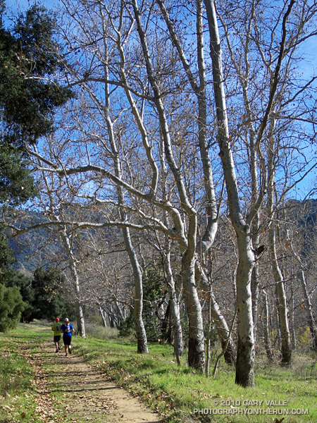
Shorts and short sleeves. Temperature 75 degrees.
From today’s run from Kanan Rd. (Tunnel #1) to Tapia Park by way of Newton Canyon, upper Solstice Canyon, Castro Crest, Bulldog Motorway, Century Lake, and the Tapia Spur Trail.

Shorts and short sleeves. Temperature 75 degrees.
From today’s run from Kanan Rd. (Tunnel #1) to Tapia Park by way of Newton Canyon, upper Solstice Canyon, Castro Crest, Bulldog Motorway, Century Lake, and the Tapia Spur Trail.
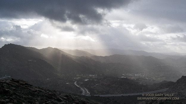
Got caught in some showers this afternoon on Rocky Peak, returning from a rambling trail run from the San Fernando Valley over into Simi Valley.
This was one of those “not sure where I’m going” runs that unfolded as it progressed. It started near Chatsworth Reservoir at Chatsworth Oaks Park, worked over to Santa Susana State Historic Park, then up the Old Stagecoach Road. At the top of the old Stagecoach Road, I picked up the Upper Stagecoach Trail and followed that to Santa Susana Pass and the 118 Frwy. From there it was a short distance down the west side of Santa Susana Pass Rd. to the Lower Stagecoach Trail, which took me to Corriganville.
Once down in Simi Valley there are four trails that ascend to Rocky Peak road, and my return route. From the shortest to the longest, they are the Wildlife Corridor trail, Hummingbird Trail, Chumash Trail and the Marrland/Las Llajas trail. Not sure how long it would take to get back to the SFV, I finally decided on the Chumash Trail.
Running up the Chumash Trail, the wind picked up, the clouds began to lower and thicken, and the temperature dropped. Minutes after turning right onto Rocky Peak road the showers began, and it wasn’t long before the sleeves came out of the pack.
The return trip, with a net elevation loss, went a little quicker than expected. Next time I’ll have to give the Las Llajas option a try. That would extend the run from about 17 miles, to something over 20. The approximate elevation gain/loss on the 17 mile version was a little under 3000 ft.
Related post: Old Santa Susana Stage Road
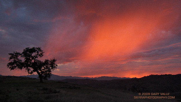
Some outstanding evening runs this week. Did a FiveFingers run out at Ahmanson on Tuesday, and as sometimes happens this time of year, didn’t make it back before dark. Was up on Lasky Mesa in the fading light, with endorphins at full flow. In a distant grove oaks I could hear a Great Horned Owl, and with each hoot-whoo it seemed the zeal of the day was turning to the tranquility of the night. The running was effortless and ethereal.
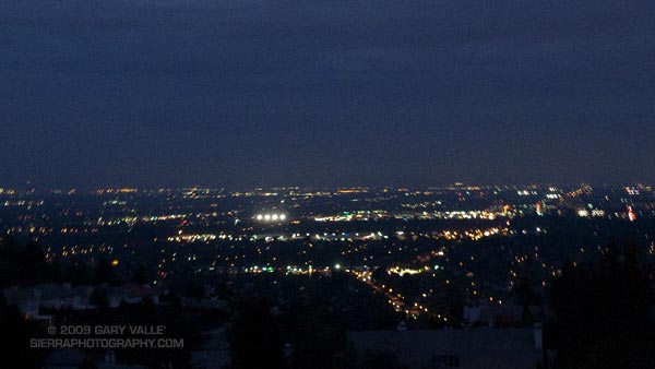 This evening’s run was also superb. Over the course of the run, the skies had become increasingly gray and troubled, as a weak cold front approached the area. Climbing a long hill, the light was dank, and I had given up on the sun. But as I neared the crest of the hill, orange-red sunlight began to illuminate the clouds from below, highlighting a sunset shower. Large, cold rain drops began to patter around me, and I watched mesmerized, as the light, clouds, and rain played on the sky.
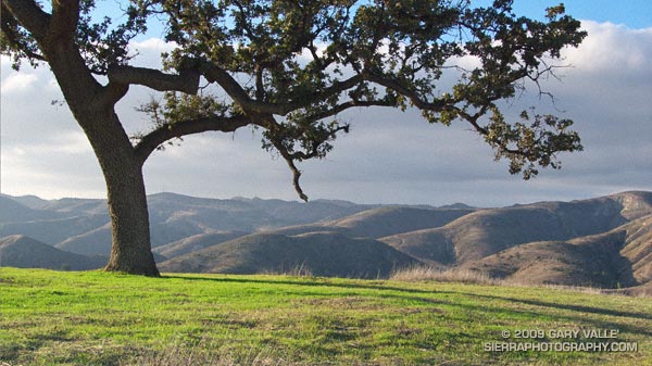
Less than a week after the rain in Southern California, grasses and other annuals are sprouting, and open space areas are starting to turn green.
From a run at Ahmanson Ranch this afternoon.
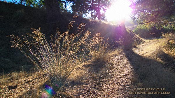
The first day of sun following rain on Tuesday and Wednesday. Ahmanson Ranch was not nearly as wet and muddy as I expected, and although water was pooled in Las Virgenes Creek, the stream was not running. Would have been a very different scenario had this storm occurred later in the rain season. Some rain totals for the Los Angeles area and comments about the developing El Nino are in my October Weathernotes.
The soft trail conditions were nearly ideal for barefoot running, and I took my running shoes off part way through the run. The muddy sections were great fun, and running barefoot was a enjoyable way to put a wrap on the rain event. I can’t wait for it to rain again!
The grass backlit by the sun is smilo (Piptatherum miliaceum). Introduced into California over a century ago, smilo is a drought resistant grass that has been used for pasture, and for erosion control following fires.
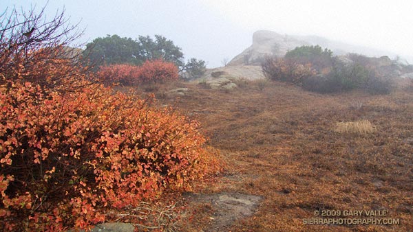
Did an enjoyable run at Sage Ranch today that started and ended in showers, but also included a few moments of subdued sun.
The shrub with the yellow-orange leaves is rain soaked poison oak. As I took the photo, a California towhee landed in its limbs, probably a little concerned about the unexpected house guest. From a towhee point of view, a thick chaparral shrub is a homey place with all of the creature comforts.
In chaparral areas towhees are common, and I frequently see them on my runs. Over years of running I’ve learned some of their habits.
Many times when I encounter a towhee on the trail, it will flutter and scurry along the ground just ahead of me, and then dart into a bush. Although not as dramatic as the broken wing act of a killdeer, this “catch me if you can” behavior is probably intended to draw a potential predator away from the bird’s nesting and living area.
Very different animals will often cooperate to benefit each other. In the case of a towhee, one of its best buds is apparently the cottontail rabbit. On occasion I will see the bird and rabbit foraging together on a trail. When trying to keep a wary eye out for potential predators, four eyes are much better than two.
Where there is one towhee, there will often be another nearby — presumably its mate. At Sage Ranch, I’ve repeatedly encountered a pair of towhees near a particular shrub over a period of several years.