Serrano Valley – La Jolla Valley Scenic Loop

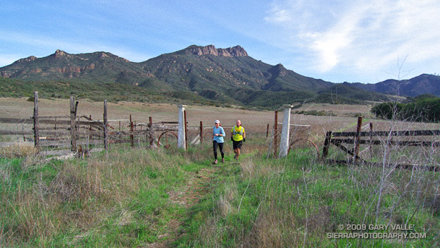
Lynn and Frank at the ranch in Serrano Valley.

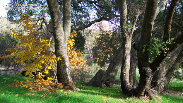
This is one of my favorite medium length trail runs in the Santa Monica Mountains. It starts at the Ray Miller trailhead and explores the scenic grasslands of the Serrano and La Jolla Valleys. Along the way there are spectacular ocean and mountain vistas from the Ray Miller Trail and the summit of Mugu Peak.
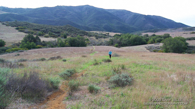

Serrano Valley
Most of the route is on single track trail, and except for a short out & back segment to “The Ranch” in Serrano Valley, it is a complete loop of about 20 miles. Many variations are possible.

One of the better online maps I’ve found of the area is an Interagency Trail Management Map produced by the NPS Santa Monica Mountains National Recreation Area GIS Lab. It shows the status of trails and public lands in the Santa Monica Mountains and is broken into three parts: WestCentralEast. Additional NPS SMMNRA trail management plan maps include Proposed Backbone Trail Facilities and Trails and Proposed Regional Trails.

Here is a Cesium browser View of a GPS trace of our route from the Ray Miller trailhead and through Serrano and La Jolla Valleys.

Related post: Serrano Valley – La Jolla Valley Loop, Serrano Valley from the Chamberlain Trail

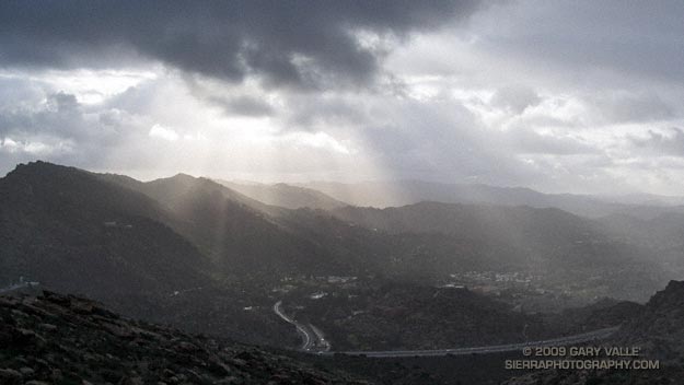
Residual Showers

Got caught in some showers this afternoon on Rocky Peak, returning from a rambling trail run from the San Fernando Valley over into Simi Valley.

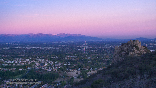
This was one of those “not sure where I’m going” runs that unfolded as it progressed. It started near Chatsworth Reservoir at Chatsworth Oaks Park, worked over to Santa Susana State Historic Park, then up the Old Stagecoach Road. At the top of the old Stagecoach Road, I picked up the Upper Stagecoach Trail and followed that to Santa Susana Pass and the 118 Frwy. From there it was a short distance down the west side of Santa Susana Pass Rd. to the Lower Stagecoach Trail, which took me to Corriganville.

Once down in Simi Valley there are four trails that ascend to Rocky Peak road, and my return route. From the shortest to the longest, they are the Wildlife Corridor trail, Hummingbird Trail, Chumash Trail and the Marrland/Las Llajas trail. Not sure how long it would take to get back to the SFV, I finally decided on the Chumash Trail.

Running up the Chumash Trail, the wind picked up, the clouds began to lower and thicken, and the temperature dropped. Minutes after turning right onto Rocky Peak road the showers began, and it wasn’t long before the sleeves came out of the pack.

The return trip, with a net elevation loss, went a little quicker than expected. Next time I’ll have to give the Las Llajas option a try. That would extend the run from about 17 miles, to something over 20. The approximate elevation gain/loss on the 17 mile version was a little under 3000 ft.

Related post: Old Santa Susana Stage Road

More Afternoon Daylight!

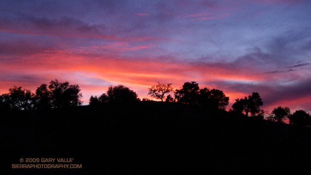
If you live in the Los Angeles area and do your weekday trail runs in the afternoon, you have reason to cheer — today the sun will set a little later. You can run (slightly) longer before you start to stumble on those unseen rocks.

According to the Astronomical Applications Dept. of the U. S. Naval Observatory, yesterday in Los Angeles the sun set at 4:44 p.m., and today it will set at 4:45 p.m.

The more northerly your latitude, the later the date before the afternoon begins to lengthen. This year, in Miami it was back on December 4, and in Seattle it will be on December 17. In Anchorage it won’t be until December 19. Barrow, Alaska won’t see a sunset (or sunrise) until January 23!

Gradually at first, afternoons continue to lengthen until July 5, when once again the amount of afternoon daylight slowly begins to shorten.

Photography and inspiration from running and other adventures in the Open Space and Wilderness areas of California, and beyond. No ads. All content, including photography, is Copyright © 2006-2024 Gary Valle. All Rights Reserved.