Sunny Sunday

Upper Las Virgenes Canyon

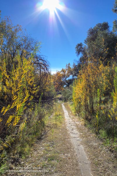
Today was one of those spectacular, sunny, warm December days we relish in Southern California; perfect for just about any outdoor activity. High temperatures were forcast to be in the high 80’s or low 90’s, and temperature records for the date were expected to be broken in many areas. As I ran north in upper Las Virgenes Canyon, I wasn’t sure where, or how far, I was going to run. On such a great day, it really didn’t matter.

Yesterday I’d looked across at Simi Peak while ascending Ladyface, and realized it had been more than a year since I’d run to Simi Peak from the Victory trailhead at Ahmanson Ranch. Rain was forecast the following weekend, so I’d better take advantage of the good weather while I had it! The out and back run to Simi Peak would be a good one.


The most direct route to China Flat and Simi Peak from upper Las Virgenes Canyon road is the Sheep Corral Trail. This singletrack trail forks left (west) from the road where Las Virgenes Canyon splits, initially following the main creek west, rather than the pipeline north. The singletrack is popular with mountain bikers and can be used to connect to the Cheeseboro Ridge and Cheeseboro Canyon trails. Both of theses trails are good options for doing a lollipop loop back to Las Virgenes Canyon.

Today I would continue past Cheeseboro Ridge and Cheeseboro Canyon to the Palo Comado fire road. Palo Comado leads up and over a low pass to an old sheep corral at China Flat. Simi Peak is bit more than a mile west of the corral. It usually takes about 15-20 minutes to run there from the sheep corral.

Here’s an interactive Cesium browser View of a GPS trace of my out and back route.

Some related posts: Simi Peak Out & Back, Scenic Route to Simi Peak, Vernal Pool at China Flat

Early Bloomers

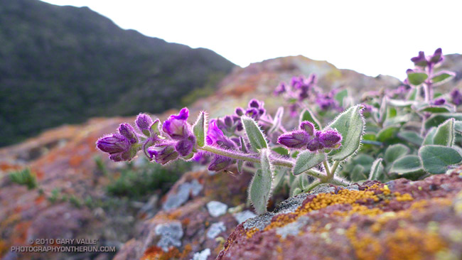
Wishbone bush (Mirabilis californica)

This autumn, the first measurable rainfall at Downtown Los Angeles was on October 4, 2010. Since then we’ve seen some rain in Southern California every 7 to 10 days or so. The storms haven’t been huge, but many locations have recorded near to above average rainfall for the water year to date. Some, like Santa Barbara and San Diego, are well above normal for the date.


Because of our erratic weather, many Southern California plants are opportunistic and will shift their growing and flowering season to take advantage of wet weather.

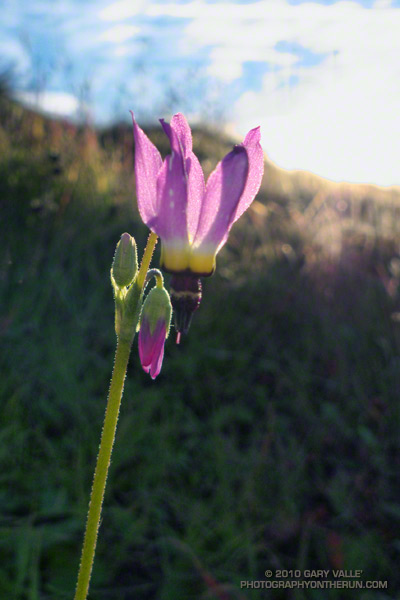
Discounting plants that normally bloom in autumn, one of the earliest of the early bloomers this autumn was this bigpod ceanothus in Pt. Mugu State Park, photographed on November 14. Another early bloomer was Wishbone Bush which was beginning to bloom in the Simi Hills on November 21. This Shooting Star was photographed at Sage Ranch on November 30. In the past couple of weeks I’ve also seen Prickly Phlox, Bush Monkeyflower and Wild Cucumber in bloom.

The title photograph is Wishbone Bush on the northeast ridge of Ladyface last week.

Some related posts: Wishbone Bush, Shooting Stars, California Prickly Phlox, Bush Monkeyflower

Mountains and Valleys

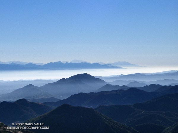
View east from the Mishe Mokwa trail over Ladyface and the San Fernando Valley to the San Gabriel Mountains.

View east from the Mishe Mokwa trail over Ladyface and the San Fernando Valley to the San Gabriel Mountains.

The peaks of the Mt. Wilson area are those in the distance, rising above the marine layer. Mt. Baldy, about 75 miles distant, is the high peak, just left of the centerline of the photograph, in the haze beyond the Mt. Wilson ridgeline.

Related post: Balance Rock, Mt. Wilson Area Peaks From Twin Peaks