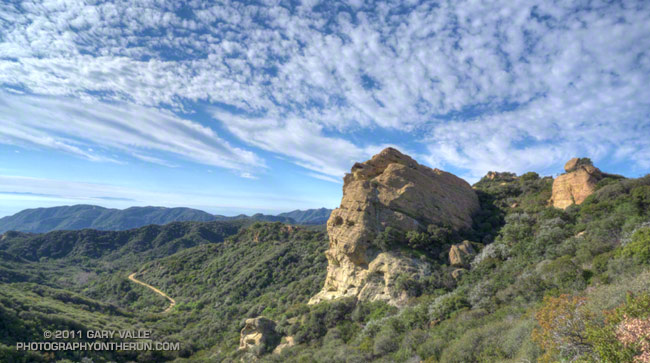
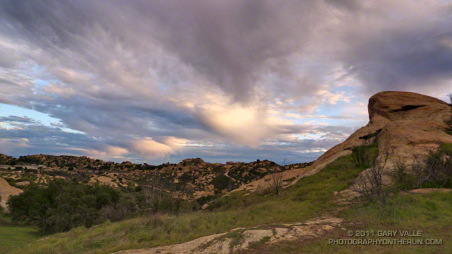
View of Eagle Rock from East Topanga Fire Road, a little west of its junction with the Garapito Trail

View of Eagle Rock from East Topanga Fire Road, a little west of its junction with the Garapito Trail
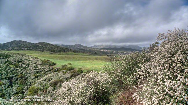
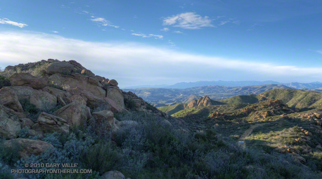
By the time I reached Rancho Sierra Vista/Satwiwa at the end of last Sunday’s wet run to Serrano Valley and back, the frontal band was mostly done with its showers and was speeding to the east. In its wake were blustery winds, broken clouds, and a dynamic patchwork of sun and shadow on Satwiwa’s spectacularly green landscape.
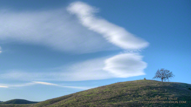
These mountain wave clouds were produced by north-northeast winds blowing across the generally east-west oriented mountain ranges north and northwest of Los Angeles. The clouds form near the crests of the undulating airflow downwind of the mountains.
The cirrus veils trailing downwind from the clouds are comprised of ice crystals. There was little shear, so the wisps and sheets of cirrus are aligned with the wind and perpendicular to the long axis of the cloud. Compare to the cirrus veil of these lenticular clouds, also formed by north-northeast winds, but which were being sheared by northwesterly winds.
From a trail run at Ahmanson Ranch on Thursday.
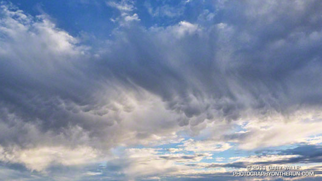
These rare clouds — a mid-level form of mammatus — were over the western San Fernando Valley last Thursday afternoon, January 6, 2011. They were produced by the moisture and dynamics associated with a closed upper level low that was about 390 miles WSW of Los Angeles, and moving ENE at about 17 mph.
I first noticed the mammatus clouds around 3:30 p.m. About 30 minutes later, when I started my trail run in the Simi Hills, the cloud band had shifted a couple of miles to the WNW, but the mammatus was still present. The title photograph was taken just a few minutes into the run, at about 4:07. This uncropped version of the image shows the clouds in relation to the terrain.
The mammatus was in the leading band of a series of cloud bands slowly moving from the ESE to the WNW. Over the next 30 minutes the mammatus mostly dissipated, as the cloud band became disrupted by shear. During this period the bands evolved into a wave-like sequence of bulbous clouds that had some of the characteristics of mammatus, but were not multi-lobed. The bases of these clouds were ragged — an indication that snow showers were sublimating in the dry air below. The photograph of the cloud sequence was taken at about 4:37 p.m. Some remnants of mammatus could still be seen in the sheared leading band.
The circumstances in which mammatus is observed and some possible mechanisms for its formation are discussed in the 2006 paper, The Mysteries of Mammatus Clouds: Observations and Formation Mechanisms by David M. Schultz, et al.
Based on a NAM analysis for Van Nuys and NKX (San Diego, CA) sounding, the atmospheric profile was consistent with real-time soundings when mammatus is present. A BUFKIT model sounding based on NAM data for 4:00 p.m., shows a moist layer from about 14,000 ft. to 23,000 ft., with a dry subcloud layer. The freezing level was indicated at about 8500 ft. A plot of vorticity from NAM data indicated a vorticity lobe in the area at the time the clouds were observed. As can be seen in both photographs, there was also strong shear between 20,000 ft. and 25,000 ft. A superadiabatic subcloud layer is not present in the soundings, but cooling from subcloud evaporation or sublimation might create one.
The photograph in the post Simi Hills to the San Gabriel Mountains was also taken on this trail run.
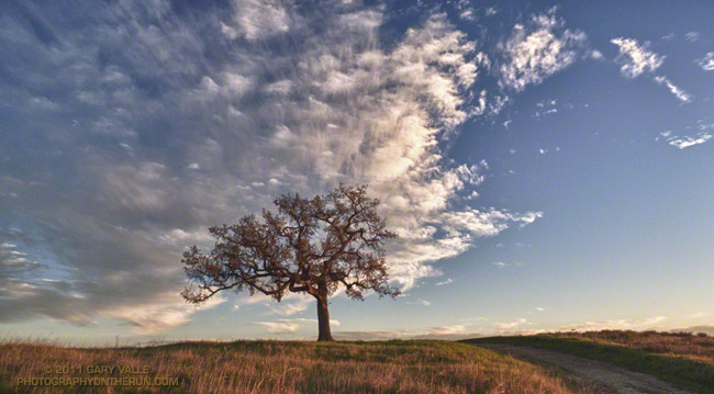
From this evening’s run at Ahmanson Ranch.
Foretelling the approach of a system forecast to bring wet weather to some areas north of Pt. Conception New Year’s Day, and Los Angeles Sunday, this thick cirrus cloud shield is associated with the circulation around a low a few hundred miles off the Pacific Northwest coast.
Wednesday’s cold front, the latest in a series of surprisingly frequent December weather systems, increased the water year rainfall total at Downtown Los Angeles (USC) to 11.70 inches. As of today, L.A.’s rainfall total is about 8 inches above normal, and more than three times the normal amount of rainfall for the water year to date. For the first six months of the 2010-11 water year, the rainfall total for Downtown Los Angeles is the fourth wettest in the 133 years that records have been kept. The water year starts on July 1 and ends June 30.
The photograph is from today’s run on the Chumash Trail and Rocky Peak Road, northwest of Los Angeles. It was cold on the north facing sections of trail that don’t see the sun this time of year. Inch long needle ice crystals had formed along the margins of the trail in several places.