Category Archives: trails|mt. pinos

How Many Tree Rings?

Fallen Jeffrey Pine in an area of downed trees located on the western end of the Vincent Tumamait Trail

I’ve run past this fallen Jeffrey Pine a number of times. It’s in an area of downed trees located on the western end of the Vincent Tumamait Trail, near Cerro Noroeste road. The trees probably fell after being killed by a fire. It’s a relatively large tree, and I’ve always wondered about its age.

A rough count of the growth rings gives an approximate age of 200 years. The tree ring sequence shows periods of fast growth, associated with above normal precipitation; and periods of slow growth, associated with drought.

Some related posts: Downed Trees Near Mt. Abel, Vincent Tumamait Trail

Chumash Wilderness Trail Run

Lynn Longan running up the switchbacks near the Condor Observation Site on Mt. Pinos.

 The out and back trail run from the Chula Vista parking lot on Mt. Pinos to the top of Mt. Abel is one of the best “short” mountain runs in Southern California. Most of the run is on the Vincent Tumamait Trail —  a technical single track trail in the Chumash Wilderness in Los Padres National Forest.

Llama on the trail/road up to the Condor Observation Site and summit of Mt. Pinos.Ranging in elevation from about 7700′ to 8800′, the run packs a lot into its 15 mile length, combining great scenery with demanding uphills and superb downhills through old growth pine and fir forest. The summit area of Mt. Pinos is open and alpine with views that can range from the ocean to the Sierra.
 
Yellow monkeyflower and western blue flag (iris) at Sheep Camp.About 4 miles from the parking lot is the North Fork Trail junction. A short side trip on this trail leads to the seeps, spring and wildflowers at Sheep Camp. The Vincent Tumamait Trail ends at Cerro Noroeste (Mt. Abel) road, but it is not difficult to work up through the pines about 1/3 of a mile to the campground on Mt. Abel’s summit.

Usually about 20-30 degrees cooler than lowland hot spots such as the San Fernando Valley, the run is a great way to beat the heat on a hot summer day. See the post Vincent Tumamait Trail for more info and additional trail running options.

The title photo is of Lynn Longan, running up the switchbacks near the Condor Observation Site on Mt. Pinos.

Google Earth KMZ Files of Southern California Trail Runs

Introduced around 2000, the Garmin eTrex was the first GPS unit I used to trace a trail run. The GPS tracks were imported into TOPO! where the length of a run could be measured, an elevation profile generated, and the topography of the run examined.

Since the eTrex was designed to be used in an “orienteering” position — flat in your hand in front of your body — it would frequently have trouble receiving GPS satellite signals if hand-carried while running or hiking. About the time enterprising hikers and runners began to resolve this issue with creative hats, holsters and harnesses, Garmin released the Forerunner 201, greatly simplifying the task of tracing a route.

In 2005, while preparing a presentation about kayaking Piru Creek for a meeting with the Forest Service, I stumbled onto Keyhole.com. To say I was blown away by this bit of “Eureka” technology would be an a gross understatement. Now, in addition to seeing Piru Creek in photographs, and on a topo map, you could get a “before you paddle” preview using Keyhole — even if you couldn’t paddle class IV whitewater! Google acquired Keyhole in late 2004 and launched Google Earth on June 28, 2005.

Shortly after Google Earth was launched, SportTracks added the ability to launch Google Earth and view the GPS trace of a run or other activity. Since SportTracks could also directly import data from Garmin’s Forerunner, the software made it very easy to view a run in Google Earth.

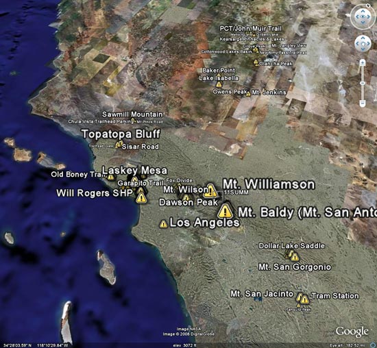
I’ve been working on updating the posts on Photography on the Run that reference a trail run to include a link to a Google Earth KMZ file. A KMZ file is just a zipped KML file, and either can be opened in Google Earth. A list of the trail runs with KMZ file links can be found by clicking “Google Earth KMZ Files of Trail Runs” in the sidebar.

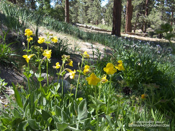
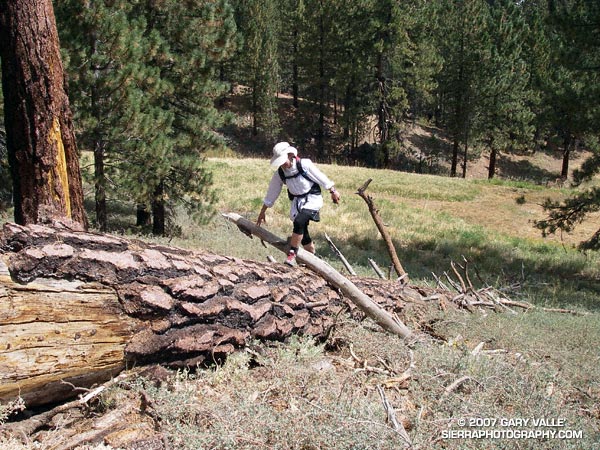
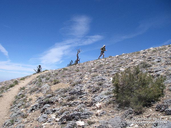
These are actual tracks recorded by a GPS during a trail run and may contain GPS errors, route-finding errors, and wanderings that are difficult to explain. In a few instances tracks have been modified to correct errors, or to remove side excursions that are not part of the usual route, but not all errors have been corrected. No claim is being made regarding the appropriateness or suitability of the routes indicated.

Mt. Pinos Improv

The plan had been to do a 2-3 hour run from the Chula Vista parking lot west over Mt. Pinos into the Chumash Wilderness, but due to the Zaca Fire, the trail/road to the summit of Mt. Pinos, the Vincent Tummawait trail, and all of the Chumash Wilderness were closed.

Improvising the best we could, we linked together some cross-country ski trails, use trails, a fallen tree, and the Mt. Pinos road, and were able to get in a good trail run.

Update Friday, August 31, 2007. In a press release dated August 29, 2007, the Forest Service announced that some areas within Los Padres National Forest east of Highway 33 that were previously closed to public entry because of the Zaca Fire would be reopened on August 30.

For more information regarding the Zaca Fire and related closures, see the Los Padres National Forest website.

Some related posts: Mt. Pinos – Mt. Abel Out & Back, Thunderstorm, Vincent Tumamait Trail

Mt. Pinos – Mt. Abel Out & Back

A trail runner nears the summit of Mt.Pinos.

This was my first time back to Mt. Pinos since being caught in a fierce thunderstorm last July. No thunderstorms this time — just wonderful running on the air-conditioned ridge between Mt. Pinos and Mt. Abel.

My route was the same as that described in the post Vincent Tumamait Trail. Here’s a Google Earth image and Google Earth KMZ file of a GPS trace of the route.

Related posts: Thunderstorm, Vincent Tumamait Trail