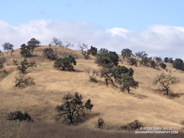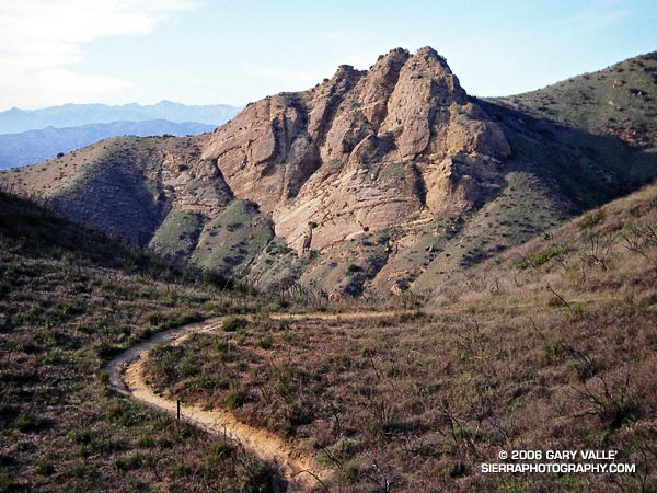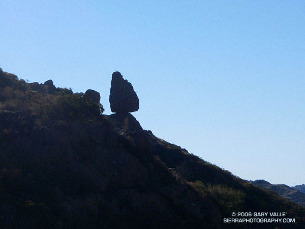
My plan had been to run out the Mishe Mokwa Trail to the Backbone Trail, and then head west towards Sycamore Canyon. I needed to be back in the Valley before noon, so about an hour out I would head back. Running past Echo Cliffs, I tried to pick out some of the steep climbing routes, and contemplated delicately perched Balance Rock. Sections of the trail facing into the morning sun are already warm, but shaded areas are cool and pleasant. Unlike the hot weather at the end of July, it isn’t like running in Death Valley.
By the time I reached the idyllic, oak-shaded area at Split Rock, I’d pretty much forgotten about Balance Rock and was trying to recall the trail choices ahead. But as I rounded a corner, I couldn’t help but notice a small spur trail marked with a sign announcing “Balance Rock – Not a NPS Maintained Trail.”
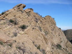
The last couple of times I had been on the Mishe Mokwa trail, I’d been on long point to point runs, and couldn’t be impulsive. Not so this time – so I hung a right and went to check out the rock. Here is a closer view.
The rocks of this area owe their striking appearance to a dramatic geologic history. The Dibblee geology map indicates that Boney Mountain, Echo Cliffs, and the summit of Sandstone Peak are exposures of 16.1 to 13.1 million year old Conejo Volcanics, probably deposited as volcanic talus and debris-flows.
After taking a few photos, I returned to the Mishe Mokwa Trail, and jogged up to the Backbone Trail. Out of time, I had no choice but to turn east on the Backbone Trail and return to the car. On the way back I did take a few extra minutes to run up the short spur trail to the summit of 3111 ft. Sandstone Peak, the highest point in the Santa Monica Mountains.
The Mishe Mokwa – Sandstone Peak loop has much to recommend it. In terms of scenic value per mile, the approximately 6 mile loop is hard to beat. This National Park Service PDF provides additional information and a trail map of the Circle X Ranch area.
Note: The mileage figure does not include the side trip to Balance Rock. The use trail to the rock – at least the one I followed – was brushy in a few spots.