What’s the Fastest Route Up Mt. Baldy?

Baldy Bowl

There’s no getting around it. Sometimes it just feels good to go all out and push the pace up a peak. Just ask the 500+ that do the Mt. Baldy Run to the Top each year.

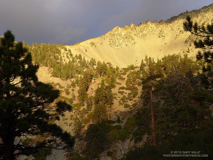
There are three routes up Mt. Baldy from Manker Flat on which I like to push the pace: the Ski Hut Trail, Register Ridge and the Run to the Top route via the Notch.

The 3.5 mile Register Ridge route is the shortest of the three routes. Since all three routes gain about 3900 feet in elevation, Register Ridge is also the steepest. From where the Register Ridge route leaves the Ski Hut Trail to where it joins the Devil’s Backbone Trail, it gains about 2600′ over about 1.5 miles — an AVERAGE grade of nearly 33%.

Since the Register Ridge route is about a half-mile shorter than the Ski Hut Trail, and the Ski Hut Trail is about 3 miles shorter than the R2T, it might seem either Register Ridge or the Ski Hut Trail would have to be the fastest route to the top of Baldy. For someone equally adept at running and steep hiking, this isn’t necessarily the case.

For a “short” ascent for which fatigue is not a major factor, it’s the elevation gain and not the distance that determines the time. Basically it’s a matter of the rate of climb the runner or hiker can sustain. The winning time of the Baldy R2T is usually just over an hour, which works out to about 3900 ft/hour. Pikes Peak Ascent winners average about 3600 ft/hour.

In round numbers to do Baldy in an hour you need to average:

• 7 mph or 9 min/mile on the R2T course.

• 4 mph or 15 min/mile on the Ski Hut Trail.

• 3.5 mph or 17 min/mile via Register Ridge route.

Following are some Strava Segments associated with these routes and the current Course Records:

Mt Baldy Summit via Ski Hut Trail (3.9 mi)
Brad Harris CR 1:06:58 Apr 17, 2015
Segment starts at Falls Road gate.

Mt. Baldy Run to the Top (6.8 mi)
Lucas Matison CR 1:05:24 Sep 5, 2016
Records are 1:00:49 by Matt Ebiner (1987), and 1:15:32 by Carrie Garritson (1988).
Segment starts at the ski area parking lot. Subtract about 1:00 to compare to the Ski Hut Trail time. This adjusts for running down to the Falls Road gate from the R2T start and for the R2T finish not being quite on the top.

Register to Summit (From base of Register Ridge)
Erik Schulte CR 1:08:56 Jun 19, 2015
Segment starts at the Register Ridge – Ski Hut Trail junction. Add about 10:00 to adjust for the time from Falls Road gate.

So even though the R2T course via the Notch is about 3 miles longer than the Ski Hut Trail route, the fastest (reported) times up Baldy have been by the R2T route. The Ski Hut Trail route is a close second, with the Register Ridge route is a distant third.

Glimpse of Autumn

Oaks and clouds Upper Las Virgenes Canyon Open Space Preserve

I was running in the hills along the western margin of the San Fernando Valley and reveling in the Autumn-like weather. The hills were parched, brown, and the soil dessicated. In 128 days it had not rained.

An area of low pressure was producing some clouds and even a little rain in some parts of Los Angeles County. The last time it had been this cool in the afternoon was in mid-June. The pleasant temperature was a welcome change from the 80s, 90s and 100s of Summer.

Precipitation from the 2015-16 Godzilla El Nino fell short of expectations, with Downtown Los Angeles only recording 65% of normal rainfall and the drought continuing into its fifth year. How long would we have to wait  until we received widespread rainfall?

At the moment the expectation is for ENSO Neutral conditions to prevail this Winter. Neutral conditions give forecasters little leverage on which to base their Winter outlook, but based on last year’s Southern California precipitation forecasts, we didn’t have much leverage then either.

With a warming planet, we appear to be in a new regime. Forecasts based on 1950-2000 analogs may no longer be applicable. As of September 15 the Climate Prediction Center’s Precipitation Outlook for Southern California for December, January and February is the equivalent of flipping a three-sided coin.

We may just have to wait and see what the Winter brings.

Old Forest, New Forest

Regrowth near Grassy Hollow following the 1997 Narrows Fire

Each time I’ve run the segment of the Pacific Crest Trail between Inspiration Point and Vincent Gap I’ve been curious about a cluster of young pines in a burned area near Grassy Hollow. The trees appear to be older than similar areas of regrowth along the PCT between Mt. Baden-Powell and Little Jimmy Spring, which burned in the 2002 Curve Fire.

In turns out the area near Grassy Hollow was burned in the 18,186 acre Narrows Fire in 1997. That would make these trees about five years older than the Curve Fire regrowth.

Considering our huge precipitation deficit in Southern California over the past five years, the young trees in the Curve and Narrows fire areas seem to be doing surprisingly well.

Malibu Creek State Park Redwoods: Fighting the Drought

Epicormic sprouts along the trunk of a drought-stressed coast redwood in Malibu Creek State Park. July 3, 2016.

Recently, I revisited the coast redwoods along Century Lake in Malibu Creek State Park . Several months ago I’d been disheartened to find many of these trees severely stressed by our five year drought. Several of the trees had lost most of their foliage. Based on my own photos and those from Google Earth, the trees had rapidly deteriorated in just a few months.

I started at the the westernmost redwood near the junction of the Forest Trail and Crags Road and worked east along the Forest Trail. I expected to see a decline in the trees since my last visit, but surprisingly that wasn’t the case. If anything the trees looked they might be doing a little better.

Apparently dead coast redwood at Malibu Creek State Park
Possibly dead coast redwood at Malibu Creek State Park

From west to east I counted about 16 trees or clonal clusters of trees. Of these, the trees on the bank of Century Lake appear to be the most severely impacted. At least one tree, with poison oak growing up its trunk, may have died.

A common drought response is for a plant to reduce its foliage. The size of its leaves may be reduced and leaf shape modified to reduce water loss. In some cases trees will become dormant and lose their foliage. Trees may also enter seasonal dormancy early and the period of dormancy may be extended.

It’s been my experience that trees respond to severe water stress in a manner similar to losing their foliage in a fire. One redwood that had appeared to be dead in March, now has new epicormic sprouts over the length of its trunk.

Basal sprouting of coast redwood at Malibu Creek State Park

Another mechanism by which a redwood may survive the drought is by clonal sprouting from buds in its basal burl. It is common for coast redwoods to have numerous basal sprouts and sometimes these develop into additional trunks.

The easternmost redwood is of particular interest because it appears to be naturally-germinated. For now it is stressed, but surviving.

The survival of these trees is not only dependent on the drought, but climate factors such as temperature and fog frequency and persistence. Only time will tell if some of the trees are resilient enough to survive.

Related post: The Malibu Creek State Park Redwoods Are Dying

Heat Training Hold

Warming Hut and Golden Gate Bridge at sunrise from the Golden Gate Promenade

I squeezed the bag of ice wrapped in the bandanna around my neck and shivered as an ice cold bead of water snaked down my spine. The temperature reading from the shaded sensor clipped to my pack read 106°F.

Sunrise from the Golden Gate Promenade near the Warming Hut and Fort Point Pier, also known as Torpedo Wharf.
Sunrise on Golden Gate Promenade near Fort Point Pier

That had been at 3:30 Thursday afternoon at Ahmanson Ranch. Earlier that day the “in the sun” temp recorded at the nearby Cheeseboro RAWS had topped out at a blistering 119°F!

This morning, Sunday morning, my AC100 heat training was on hold. The sun had just risen and I was running on the dew-covered sidewalk of the Golden Gate Bridge. The temperature sensor was reading about 54 degrees cooler than at Ahmanson — an almost chilly 52°F.

Not to worry — I would be back running in the 100 degree Ahmanson heat Tuesday.

Photography and inspiration from running and other adventures in the Open Space and Wilderness areas of California, and beyond. No ads. All content, including photography, is Copyright © 2006-2025 Gary Valle. All Rights Reserved.