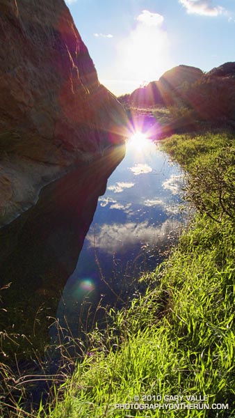
One of about a dozen vernal pools in the Rocky Peak area. More than just a puddle, these rainy season pools form as a result of the area’s unique geology.
In my experience, excessive rainfall is not necessary for the pools to form. Normal month-to-month seasonal precipitation is usually sufficient. Their persistence depends on several factors, but in a season with normal to above average precipitation, the pools can last for several months.
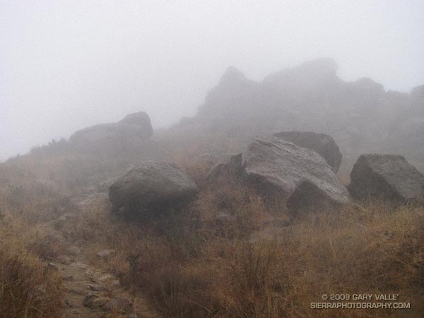
Clouds swirled around me as I worked up the steep trail toward an overlook near Rocky Peak. I stopped and listened to the patter of the rain against the rocks, its intensity rising and falling with the gusts of wind.
The wind-driven rain trickled down my face, tasting cool and clean. It didn’t matter that my running clothes were soaked and that with each gust I could feel a chill. It was raining!
In the same manner that a color will sometimes appear especially pure and vibrant, there was an unusual liveliness to this rain.
Brrr… I picked up the pace — even with long sleeves it was COLD on Rocky Peak Road. Another in a series of blustery April systems was stirring up the weather in Southern California. Thickening clouds spritzed rain, and a belligerent wind told me in laughing gusts that I could not run fast enough to stay warm.
Occasionally a patch of sun would find its way through the clouds, briefly warm and encouraging. I needed only to think of the 100 degree days ahead to appreciate the chilly temps.
Another cool system is forecast to move through Southern California on Friday, bringing with it a chance of rain — and more great running weather. Easter weekend should be spectacular!
I was surprised how good my legs felt on the steeps on Rocky Peak. Apparently skiing San Jacinto was a great way to knock my legs out of the doldrums — and make them happy to be using shoes that weigh only 22 ounces/pair!
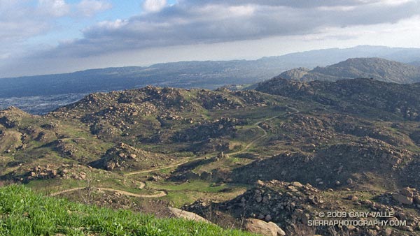
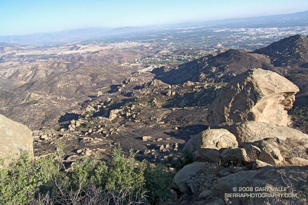
This stretch of Rocky Peak Road is about 1.5 miles from the trailhead at the 118 freeway. It is also about 2.7 miles into the Bandit 30K and 14K courses.
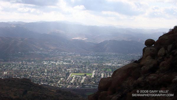
My run to “Fossil Point” on Rocky Peak road, and side trip to Rocky Peak, was not the appalling experience I’ve come to expect when investigating a wildland area that has been overrun by a Southern California brush fire. Much of the chaparral along the fire road was not burned. Here are a few photos: