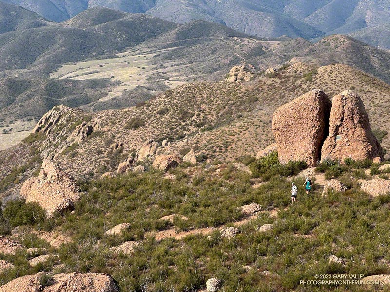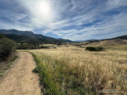
It’s a section of the westbound Backbone Trail that starts two miles west of Sandstone Peak and continues down the Chamberlain, Old Boney, and Blue Canyon Trails to the Danielson Multi-Use Area and Big Sycamore Canyon Fire Road. At the point where the trail turns south on the fire road, it has dropped about 2400 feet in 4.8 miles. Continuing south on the fire road, the Backbone Trail gradually descends another 100 feet over a mile and a half until it starts up the Wood Canyon Vista Trail.
What about the long downhill between Saddle Peak and Malibu Canyon? That would be a contender if it weren’t for a gradual uphill that starts a little east of the Piuma Road crossing. It gains about 180 feet over 0.8 mile. If that break in the downhill is ignored, then the stats for the two descents are similar.

This morning, I did the Backbone Trail segment from Sandstone Peak to the Danielson Multi-Use Area as part of a loop from the Wendy Drive Trailhead on Potrero Road in Newbury Park. Including the optional side trip to Sandstone Peak, the loop totals about 18 miles with around 4000′ gain/loss.
Fires and heavy rain the past decade have taken their toll on the Backbone Trail and other trails in the Santa Monica Mountains. Today, except for a short stretch near Chamberlain Rock, most of the long downhill was in decent shape and enjoyable to run.
Here’s an interactive, 3D terrain view of a GPS trace of my route. The eastern ridge route is also shown. The map can be zoomed, tilted, rotated, and panned using the navigation control on the right. Track and placename locations are approximate and subject to errors. Poor weather and other conditions may make this route unsuitable for this activity.
Some related posts:
Not So Busy Sandstone Peak
Looking for Boney Mountain
Backbone Trail Mystery
