Cooper Canyon Cascade & Falls

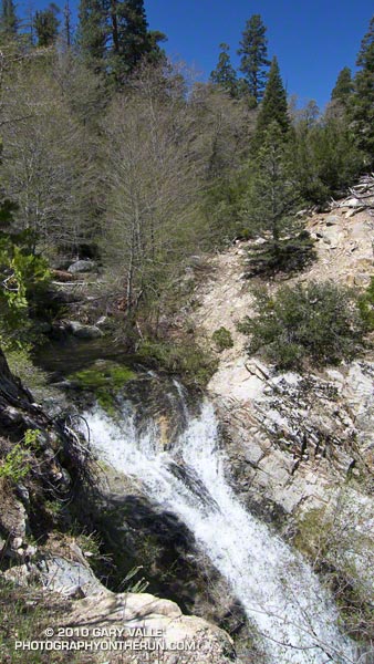
Cooper Canyon Cascade and Falls

From today’s out and back run from Cloudburst Summit (7018′) to Burkhart Saddle (6959′) in the San Gabriel Mountains, near Los Angeles.

The running was excellent, and except for a few fallen trees the trails were in good shape. Thanks to the runoff from a good Winter’s snowpack there was plenty of water in Little Rock Creek, and even the smaller side streams were flowing. Most of the snow below 7000′ was history, but there was still a lot of white on the north facing slopes at the higher elevations.
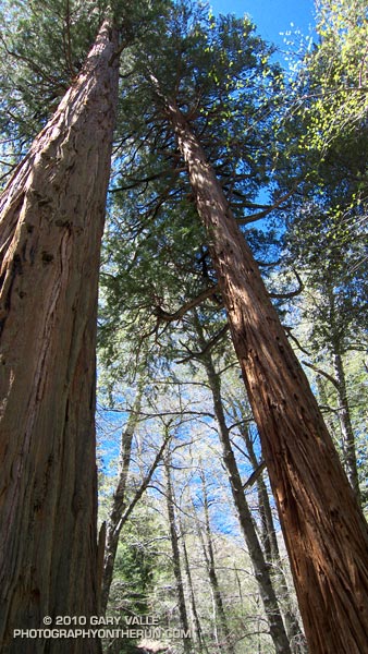

Incense Cedars in Cooper Canyon
The trailhead for this run is on Highway 2 at the boundary of the area closed by the Station Fire Recovery Order. The run follows the southbound Pacific Crest Trail, and northbound Burkhart Trail, which define the eastern boundary of the closure area north of Highway 2.

Update May 29, 2010. Angeles National Forest has issued Forest Order 01-10-02 redefining the Station Fire closure area. The southbound Pacific Crest Trail, and northbound Burkhart Trail no longer define the boundary. See the Angeles National Forest web site and this May 29, 2010 post for more info.

From Cloudburst Summit, the southbound PCT winds down into Cooper Canyon, and eventually joins the Burkhart Trail, just west of Cooper Canyon Falls. In about a quarter-mile, the trail crosses Little Rock Creek. Here, the northbound Burkhart Trail forks left from the (closed) PCT, and continues 3.75 miles to Burkhart Saddle.

Here is a video snapshot of Cooper Canyon Cascade and Falls.

Note: The PCT northbound has been rerouted at Islip Saddle. See the Pacific Crest Trail Association web site for more info. Also, the PCT trail segment between the Burkhart Trail and Eagle’s Roost is within the area closed by the Williamson Rock Closure Order.

Some related posts: Cooper Canyon Falls, Cool Running in Southern California, Pleasant View Ridge Snow

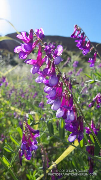
Winter Vetch

Winter vetch (Vicia villosa ssp. varia) border=0 src=

Winter vetch is a vining legume you’ll see in patches along trails in lower elevation chaparral in Southern California. It’s flowers are an unusal purple, and a closer look reveals various shades of violet, purple and rose.

Its capability to add nitrogen to soil gives it value in crop rotation and no-tillage farming. It is an invasive plant, not native to California.

From today’s run in the Simi Hills.

Cool Temps and Postcard Skies

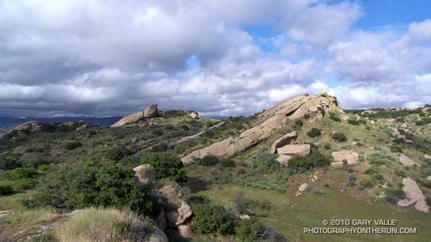
Rock formations in the Simi Hills, near Los Angeles

We’ve had some great running weather in Southern California this Spring, with more than our usual share of cool days and postcard skies. Remarkably, the highest temperature recorded at Downtown Los Angeles so far this year was in the final few days of Winter, when the temperature hit 88 on March 16.

The title photograph is from a recent run in the Simi Hills.

The Best Kind of Training

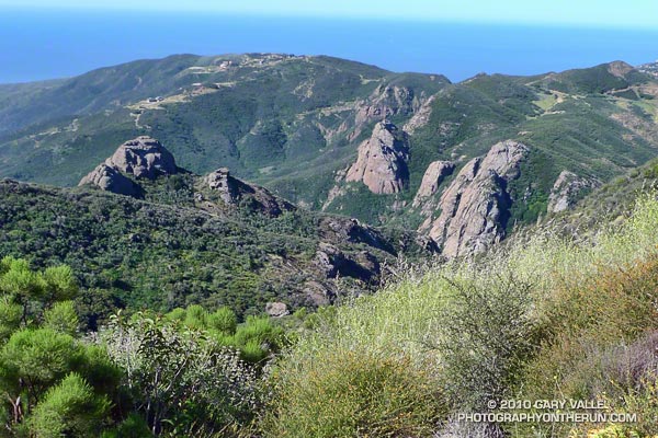
Crags below the Backbone Trail

The great view confirmed it — we had run uphill. The new section of the Backbone Trail was so well-graded that the 850 feet of elevation gain from the trailhead at Encinal Canyon Rd. seemed almost effortless. For the next 14 miles, we would run through one of the most scenic areas of the Santa Monica Mountains; a rough and rugged highland with a character that might put it halfway around the world, rather than 35 miles from downtown Los Angeles.


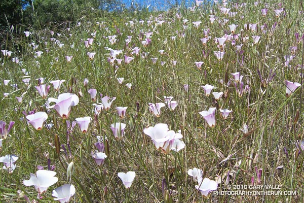
Mariposas
On this May Day morning, the canyons were cool, the sun warm, and the skies clear. From the craggy heights views extended from Catalina to the Channel Islands; and from Topa Topa to the San Gabriel Mountains. Winter rains had produced a profusion of wildflowers, accenting the trails with the whites, blues, yellows and reds of Spring.

It was an extraordinary day in which mile after mile of trail would pass underfoot with surprising ease. It was the best kind of training — a run in which the training was an afterthought, and the focus was on the experience, rather than the logbook.

Here’s an interactive Cesium ion view of the 23 mile route from Encinal Canyon Rd. to PCH at Sycamore Canyon. The elevation gain on the run was about 2500 ft., and elevation loss about 3800 ft. Continuing to the Ray Miller trailhead by way of the Wood Vista, Overlook and Ray Miller trails would add about 3 miles and another 1000 ft. of gain. Another option would be to run through Serrano Valley to Sycamore Canyon. The Fireline Trail is a short distance down canyon from the Serrano Valley Trail, and could also be used to link to the Overlook and Ray Miller trails.

And here’s a photo of the Yerba Buena segment of the Backbone Trail when it was under construction in 2003.

Related post: Boney Mountain Crags