Street View: Castle Peak

Castle Peak from Valley Circle Blvd.

On today’s run, a muted morning sun highlighted Castle Peak in a tree-framed view from Valley Circle Blvd. This native bush sunflower (Encelia californica) was happily growing along a side street.

With MRCA/Santa Monica Mountains Conservancy lands and trails closed, local State Parks closed, and County trails closed, street views will be the norm for a while.

Related post: Castle Peak

Castle Peak

Castle Peak and the San Fernando Valley. The San Gabriel Mountains are in the distance.

First published May 12, 2007.

From the rocky summit of Castle Peak I traced the course of Bell Creek into the San Fernando Valley, imagining the broad valley as it might have been a few hundred years before. Bell Creek would have joined Chatsworth and El Scorpion Creeks to form the Los Angeles River. Unconfined, the river would have been a riparian ribbon of willow green, winding its way across the valley and through a patchwork of grassland and sage scrub. Areas of the valley would have been punctuated with oaks, wetlands, and scattered chaparral.

Trail leading to Castle Peak

A wall of marine haze would likely be seen near Kaweenga, and threads of smoke might mark the location of other communities. Later in the year, the grasslands would be set afire, promoting next year’s growth, and protecting and enhancing the health of the oaks. As they do today, the San Gabriel Mountains would beckon in the east — but would be antenna free.

Prickly phlox blooming near the summit of Castle Peak.
Prickly phlox near the summit of Castle Peak.

There would have been little noise… No distant horns, freeway drone, or roar of airplanes. Occasionally, a broken voice might have wafted up from the community below. The wind would rustle between the summit rocks, and the loudest noise might be the song of the canyon wren, or screech of the scrub jay.

Known by the Ventureño name Kas’élewun, Castle Peak is a landmark of spiritual significance to the Chumash and Gabrielino. Perched at the end of a tongue-like ridge, the peak stood over the multi-cultural community of Huwam, where Chumash, Tongva and Tataviam people lived.

Kas’élewun and the nearby Cave of Munits were places of power and ceremony. Stories would be told of the sorcerer Munits and his death upon the mountain, and of a gruesome creature inhabiting its caves. Some would tremble at the thought, and an angry parent might caution a child to behave, or risk angering the beast on the mountain.

Castle Peak with the San Fernando Valley and Warner Center in the background.
Castle Peak, San Fernando Valley and Warner Center.

It is a haunting night, and torn clouds race past a silvery moon. From the margin of the village I glance up to Kas’élewun to see a solitary figure briefly silhouetted on its summit. I rub my eyes and only the clouds remain…

Note: Like so many placenames in the Valley,  “Castle” appears to be a corruption of the Chumash name for the peak, Kas’élewun. Rather than alluding to a castle, it can be translated as “tongue,” perhaps because the formation sits at the end of a long ridge that extends out into the valley . The title photograph of Castle Peak is from a run on March 19, 2020.

Goldfields Are Blooming and Valley Oaks Greening!

Goldfields blooming on Lasky Mesa, March 7, 2020

Goldfields are tiny wildflowers, but their bright yellow color more than makes up for their diminutive size.

New leaves on a valley oak in East Las Virgenes Canyon. March 11, 2020.
New leaves on a valley oak in East Las Virgenes Canyon.

Goldfields bloomed a little early on Lasky Mesa this year. Depending on the conditions, they usually begin to bloom in mid-February. Because of this rain year’s wet December and dry January-February, the goldfields began to bloom a little early — around February 4. The flowers aren’t as numerous as last year, but there are still a few small patches of goldfields to be seen.

Usually, about the same time goldfields begin to bloom, valley oaks are starting to sprout new, bright green leaves. This Winter, the foliage on valley oaks at Upper Las Virgenes Canyon Open Space Preserve (Ahmanson Ranch) began to turn brown in mid-December and I saw the first new leaves begin to sprout at the end of February. This sprawling valley oak is in East Las Virgenes Canyon.

Castle Peak, Chatsworth Peak and Oat Mountain from Lasky Mesa

Castle Peak, Chatsworth Peak and Oat Mountain from Lasky Mesa

Clouds, sun and shadow accentuate the rugged topography of the northwest rim of the San Fernando Valley.

Castle Peak is the rock-capped summit on the left of the photo. Chatsworth Peak (2314′) is in shadow and behind Castle Peak. The prominent rock bands are Chatsworth Formation sandstone formed more than 65 million years ago. Oat Mountain (3747′) is the sunlit peak in the distance.

From a run on Wednesday at Ahmanson Ranch.

Some related posts: The Cave of Munits and Castle Peak, Castle Peak, Snow on Oat Mountain

Los Angeles’ On and Off Rain Season is On Again

Clouds over a ridge west of Las Virgenes Canyon

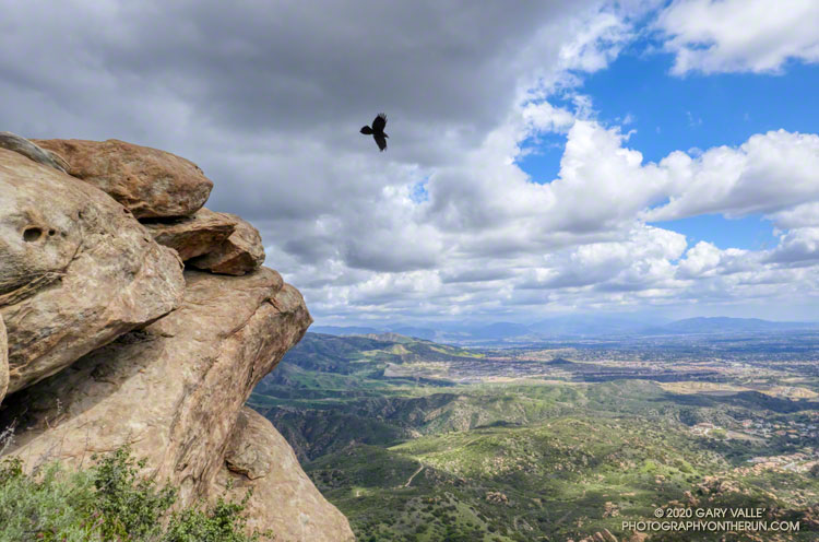
Following a December with twice normal rainfall, Downtown Los Angeles (USC) experienced the fourth driest January-February on record. Now it seems the spigot has been turned back on, and March rainfall for L.A. might very well be above normal.

As of 3:00 p.m. today, March 13, Downtown Los Angeles (USC) has recorded 2.05 inches of rain this March, boosting the rain year total (since July 1) to 9.40 inches. This is about 75% of normal for the date.

More rain is forecast over the next week or so, but the major weather models differ on the projected amounts. To make up for the January-February rainfall deficit and finish the rain year close to 100% of normal, Los Angeles needs another 5.5 inches of rain by June 30.

Not impossible, given some of the forecasts, but that would be a lot of rain for this time of year. Well see!

Update July 6, 2020. Remarkably, Downtown Los Angeles (USC) ended the rain year, July 1 to June 30, within 0.07 inch of normal rainfall. It was a tumultuous rain season that saw copious rainfall in December, and then almost none in January and February — usually the wettest months of the year. Just when we started to think “drought,” the wet weather returned. Combined, Match and April precipitation was 221% of normal. That and a little rain in May brought the Los Angeles rain year total up to 14.86 inches, just short of the normal of 14.93 inches.

Update April 12, 2020. Over six consecutive days, from April 5 to April 10, Downtown Los Angeles (USC) recorded 2.96 inches of rain. This is about 325% of the normal amount for the whole month. The precipitation totals of 14.66 inches for the rain year and 14.63 inches for the water year are now above normal for the date and within about one-third of an inch of the normal annual rainfall for Downtown Los Angeles.

Update April 10, 2020. April rainfall picked up right where March left off.  As of April 9, Downtown Los Angeles (USC) has recorded 2.80 inches of rain this month. This is more than three times the normal amount of rain for the entire month of April. This brings the rain year and water year totals to 14.50 and 14.47 inches, respectively. For the first time since February 1 the rainfall totals for Los Angeles are above normal for the date. Los Angeles is now within a few tenths of an inch of normal rainfall for the year, and it is still raining today.

Update March 24, 2020. On March 22, Downtown Los Angeles (USC) set a new rainfall record for the date of 1.51 inches. As of March 24, Downtown Los Angeles has recorded 4.35 inches of rain this month. This is 179% of the normal amount of rain in March. The current rain year/water year total of 11.70/11.67 inches is about 88%/90% of normal for the date. The magic number for 100% of normal rainfall is 14.93 inches — either by June 30 (Rain Year) or September 30 (Water Year).

Update March 17, 2020. As of March 16, Downtown Los Angeles (USC) has recorded 2.80 inches of rain this month. This already exceeds the normal amount of rainfall for the entire month of March, which is 2.43 inches. The current rain year/water year total of 10.15/10.12 inches is about 79%/81% of normal for the date.