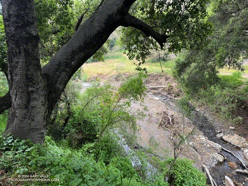
The most popular trail run from the Top of Reseda to Will Rogers State Historic Park takes Fire Road #30 up to the Hub, turns left (east), and then follows the Roger’s Road segment of the Backbone Trail all the way to the Park. Many do the run as a keyhole loop, picking up the Rivas Canyon Trail on the west side of Will Rogers and using that trail to connect to Temescal Canyon. The Temescal Ridge Trail is then used to return to the Hub and Fire Road #30. The run is about 21 miles and gains/loses about 3400′.
There is another — more adventurous — way to do a loop from the Top of Reseda that visits Will Rogers and then returns via the Rivas Canyon and Temescal Ridge Trails. It is about the same length as the regular route and very nearly a complete loop. That’s the route I was doing this morning.
Instead of going up to the Hub, I ran east about 2.5 miles on dirt Mulholland to Sullivan Ridge Fire Road and then 3.5 miles down the fire road to “Josepho junction.” There’s a yellow fire gate here, and the road changes from dirt to pavement.
From this point, the goal is to get to the Josepho Drop Trail — a short (0.75-mile) trail that connects Rustic Canyon to the Backbone Trail above the bridge. From the creek to the Backbone Trail, the trail gains about 650′. Much of it is steep, rough, and rubbly.
Years ago, we would run down the private service road from Sullivan Ridge to Camp Josepho, then follow a use trail down the canyon to the Josepho Drop Trail. That hasn’t been an option for some time, but there are other — more interesting — ways to get to the Josepho Drop.
One option is to continue south from Joespho junction on the fire road a tenth of a mile to a single-track trail on the right. On some maps, the trail is labeled the “Old Stables Trail.” Initially, the trail contours below the crest of the ridge but eventually winds down into Rustic Canyon in the area of Murphy Ranch — an abandoned 1930s compound said to have been a haven for fascists and Nazi sympathizers.
On the way down, there are vestiges of the old compound — a flourishing Bougainvillea, an overgrown corral, an out-of-place palm.
Near the bottom, another trail/road enters from the left. I turned right here and followed the trail around a corner with a low, graffitied wall, and then down canyon about 130 yards to a trail sign near the creek. The collapsed structure found here must be the ruins of the stables.
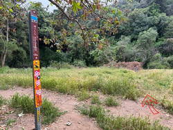
Finding the junction at the trail sign is the key to staying on route. According to Google Earth, the approximate location is 34.074534°, -118.516381°. The coordinates recorded for the photo are 34° 4′ 28.480000″ N, 118° 30′ 58.720000″ W.
A right-hand (west) turn at the sign crosses the creek and joins the Josepho Drop Trail. I’ve explored the trail south of the sign a few times. In about a half-mile, it leads to the heavily graffitied building that housed the diesel generators for the enclave. Not only is the building graffitied, but everything within reach of a spray can — walls, steps, pavement — even the trees are painted.
Maps show the “Will Rogers Trail” continuing to Will Rogers, but as the trail sign says, the trail is not maintained. With the rain we’ve had the last couple of years, there’s little doubt the trail is washed out, overgrown, and would be time-consuming to follow.
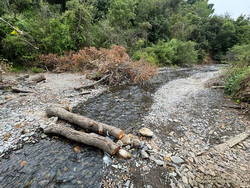
I returned up the canyon to the trail sign and followed the Josepho Drop Trail west across the creek . It looked like some trailwork had been done on the bottom part of the trail.
As I worked up the trail, I kept an eye out above. The last time up the Drop, I’d encountered a mountain biker bumping down a steep and very rutted section of the trail. It looked like he was riding down stairs.
When I reached the top of the Drop, I turned left on the Backbone Trail and continued down to Will Roger’s State Park. The loop was completed by following the Rivas Canyon Trail over to Temescal Canyon, then picking up the Temescal Ridge Trail and following it past Skull Rock and Green Mountain to the Hub. From the Hub, Fire Road #30 was followed back to dirt Mulholland and the top of Reseda.
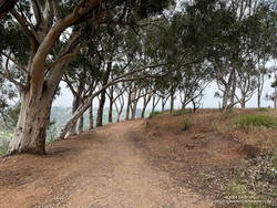
I was surprised to find that without the side trip to the Murphy Ranch powerhouse, the Sullivan Ridge variant of the Will Rogers – Temescal Ridge loop is virtually the same length as the “regular” route down the Roger’s Road segment of the Backbone Trail. It just has a bit more elevation gain.
If a shorter run is preferred, another option is to turn right (north) on the Backbone Trail at the top of the Drop and follow that to the Hub. From the Hub, it’s about 2.5 miles to the trailhead at the Top of Reseda. This variant of the trail run works out to about 16.5 miles.
This interactive 3-D terrain view shows my GPS track (yellow) of the Sullivan Ridge – Will Rogers – Temescal Loop from the Top of Reseda. Also shown is my GPS track (red) of the Roger’s Road option on the Backbone Trail.
Here are some photos taken along the way, including some native, non-native, and ornamental flowers.
Some related posts:
– Will Rogers – Rivas Canyon – Temescal Canyon Trail Run
– Will Rogers – Temescal Loop
