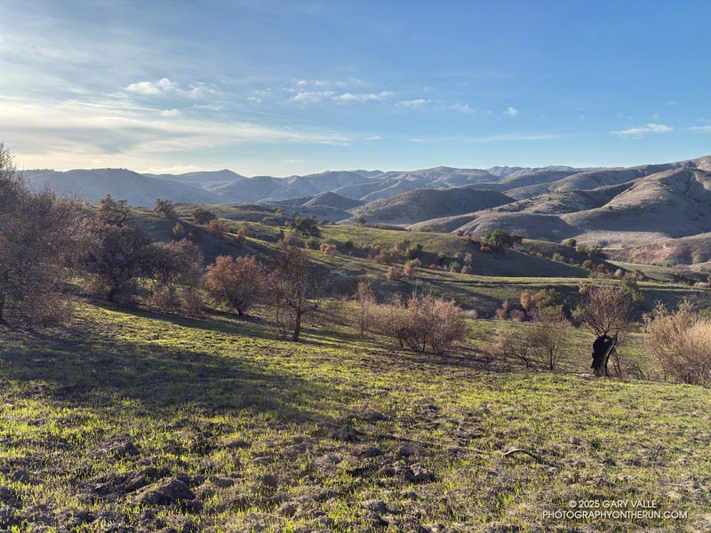
The Kenneth Fire started at about 2:30 PM on January 9, 2025, near the Victory Trailhead of Upper Las Virgenes Canyon Open Space Preserve (Ahmanson Ranch). The Los Angeles Fire Department issued an alert about the Kenneth Fire at 2:39 PM.
According to the CAL FIRE Kenneth Fire Incident Page, the fire burned 1,052 acres, and was contained on January 12, 2025. The Kenneth Fire is the third significant fire to affect this area in the last 20 years — the other two being the 2005 Topanga Fire and 2018 Woolsey Fire.
At about the time the fire started, a personal weather station near the Victory Trailhead recorded the wind from the ENE at about 11 mph, gusting to 22 mph. At this station, the wind moderated somewhat over the course of the afternoon and early evening, but picked back up overnight.
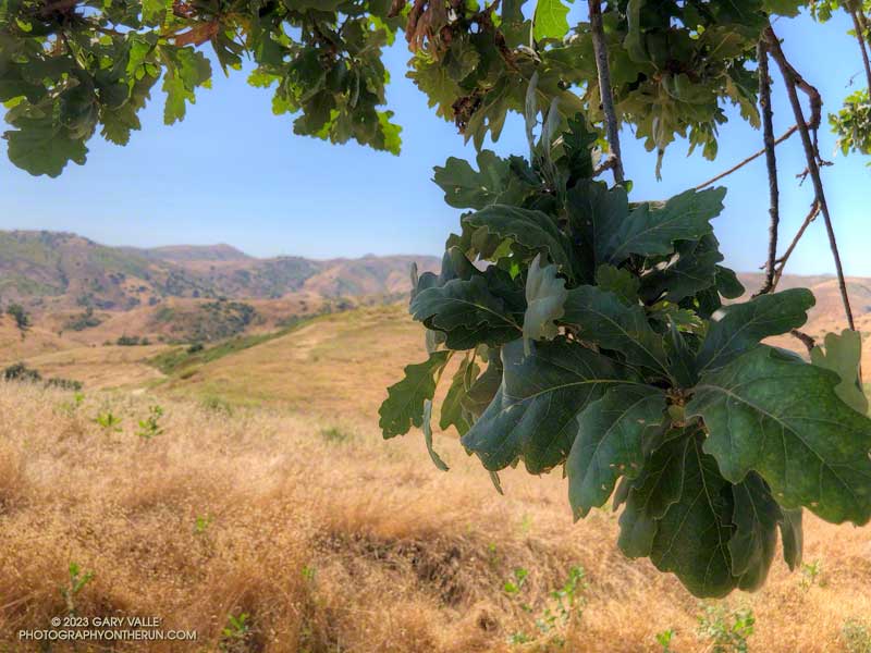
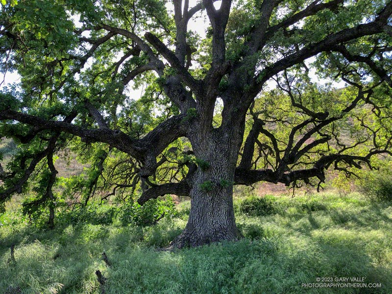
The vegetation within the burn area is oak savanna — a plant community characterized by grassland and scattered oaks. In the case of Ahmanson Ranch the oaks are valley oaks and coast live oaks. The last known blue oak in the Preserve died in the Winter of 2022-23.
Taking into account their respective populations, the percentage of valley oaks destroyed by the Kenneth Fire far exceeded the percentage of coast live oaks. As the climate has warmed, the mortality rate of valley oaks in the southern part of their range has been increasing and their range retreating northward.
Although the wind was not as strong as it was on January 7-8, it was exceptionally dry. Prior to January 2025, Downtown Los Angeles only recorded 0.16 inch or rain for the Rain Year starting July 1 and Water Year beginning October 1. As of January 9, the period July 1, 2024 to January 9, 2025 was tied with 1962-63 as the driest on record.
Some related posts:
– 2025 Kenneth Fire Perimeter and Some Area Trails
– Very Dry Start to the Downtown Los Angeles 2024-2025 Rain Year
– After the Woolsey Fire: Ahmanson Ranch
– The Topanga Fire, Part I: Rain, Wind and Fire

