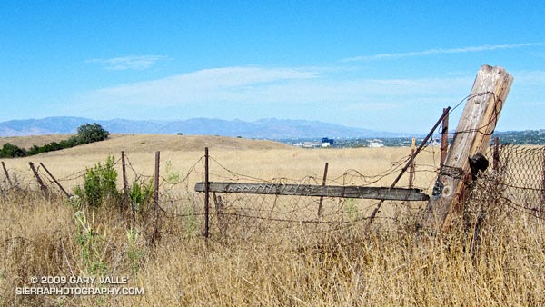
View from Lasky Mesa, across the San Fernando Valley, to the San Gabriel Mountains.
From a run at Ahmanson Ranch on Wednesday.

View from Lasky Mesa, across the San Fernando Valley, to the San Gabriel Mountains.
From a run at Ahmanson Ranch on Wednesday.
Note: The Mt. Disappointment Endurance Run is now the Angeles National Forest Trail Race.
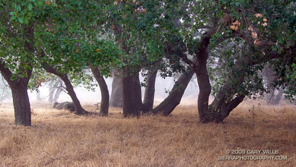
Or should that be ramping UP for Mt. Disappointment? Anyway, started tapering for the Mt. Disappointment run next Saturday. Did the 13 mile Cheeseboro Canyon keyhole loop from the Victory Trailhead of Ahmanson Ranch yesterday, and then stretched the legs at Sage Ranch today. Both mornings were cool, with low clouds and fog — very pleasant!
Here’s hoping for “not too hot” weather for the race. At the moment, the GFS and ECMWF weather models show a weak upper level trough moving through California in the Friday-Saturday timeframe. Such a scenario should increase the chances of “seasonable” temps for the race — which would still be quite warm, but maybe not crazy hot.
Update Friday Morning 8/07/09. Broad upper level trough over California this morning is keeping things cool. Yesterday the high recorded at Mt. Wilson was 70, and the low overnight was 48! Southern part of the trough is forecast to hang back over Southern California through Saturday, which could result in temps a little BELOW normal for the Mt. Disappointment race. We’ll see!
Related post: Mt. Disappointment 50K 2008 Notes
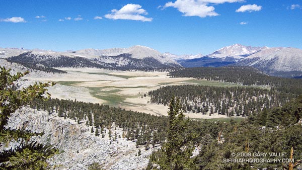
The photograph of Siberian Outpost and Mt. Kaweah was taken from the Pacific Crest Trail, north of Chicken Spring Lake, while running the 22 mile Cottonwood Pass – New Army Pass loop — an outstanding high mountain course that is nearly all above 10,000′.
The large treeless area is Siberian Outpost. Reminiscent of an expanse of tundra, an exposed camp here would certainly have the windswept, isolated character of the north. The high peak on the right side of the photograph is Mt. Kaweah (13,802′). To the left is Mt. Anna Mills and to the right, Mt. Guyot. The peaks of the Great Western Divide can be seen in the distance. Hidden from view, between Mt. Guyot and Mt. Kaweah, is the Kern (River) Trench near Kern Hot Springs.
In my experience the loop is a MUCH better run when done in the clockwise direction. Something to keep in mind, particularly in a heavy snow year, is that you approach New Army Pass from the west, and don’t get to see the snow situation on the steep, east side of New Army Pass until you get there — at about mile 13.
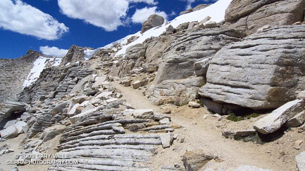
This wasn’t a heavy snow year, but the weather this Spring was cool and there were some late season storms. So it wasn’t a big surprise to find a steep patch of snow blocking the trail. With a light pack it was relatively straightforward to find a way around the snow, but earlier in the season, or in a heavier snow year, this might not be the case.
Additional info and photographs can be found in my posts Cottonwood – New Army Pass Loop and New Army Pass – Cottonwood Pass Loop. Here is a Cesium browser View of a GPS trace of the loop.
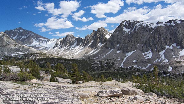
From Sunday’s out and back trail run from Onion Valley, over Kearsarge Pass, to Glen Pass. University Peak is the peak in shadow on the left of the photograph.
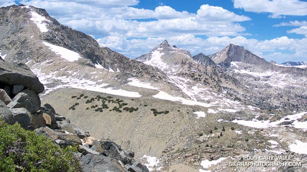
Mt. Cotter and Mt. Clarence King from Glen Pass.
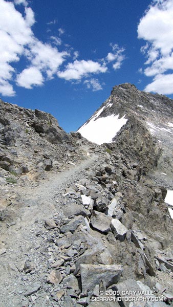
The last time I was on Glen Pass was a brisk and brilliant October morning in the late 70’s. Overnight, the first cold front of the season had covered the trail with a few inches of snow. Working up toward the pass, bright fingers of gold had reached through long shadows to illuminate the angular, lichen-covered rocks, and the new snow had sparkled in celebration of Winter’s rapid approach.
Today, I’m back on Glen Pass, once again reveling in the wildness and beauty of my surroundings. There is almost no wind, and even at 12,000′ the day is warm. Refreshed by late season storms, the remaining snow is bright and youthful, accenting the elegant lines of the rugged alpine terrain. In counterpoint to the snow, a patchwork of clouds decorate the intensely blue sky.
In the outdoors, each place and day is remarkable in its own way.
Here are a few photographs from the run:
University Peak (13,589’/4142 m) from the Kearsarge Pass Trail.
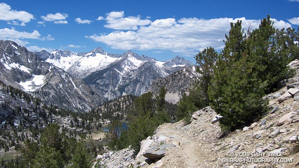
Spectacular running at 11,000′ near Bullfrog Lake. The snowy peaks are (l-r) South Guard, Mt. Brewer, North Guard, and Mt. Francis Farquhar.
Charlotte Dome from the PCT/John Muir Trail, south of Glen Pass.
Switchbacks on the south side of Glen Pass. If you look closely you can see a pair of hikers working up the trail.
Nearing the top of Glen Pass (11,978’/3651 m).
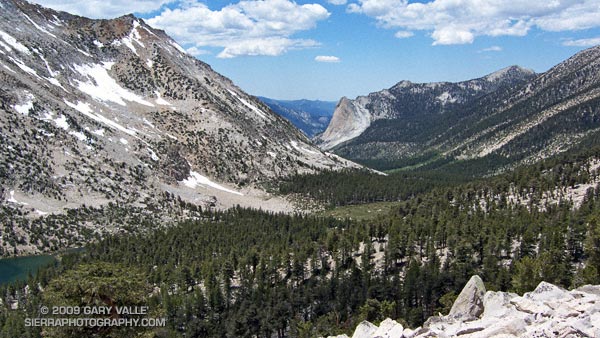
The out and back trail run from Onion Valley (9200’/2804 m), over Kearsarge Pass (11823’/3604 m), to Glen Pass (11,978’/3651 m) worked out to about 20 miles, with an elevation gain/loss of about 4750 ft. Here’s a Cesium browser View of a GPS trace of my route and an elevation profile generated in SportTracks.
Related post: Up and Over Kearsarge Pass
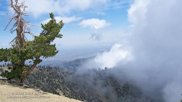
Overnight the lows on the high peaks had dipped into the 30’s, and today the high temps would be 15-20 degrees below normal. If I could have ordered the perfect mix of temperature, clouds and sun for running in the Angeles high country, it would be difficult to top the weather this weekend and last.
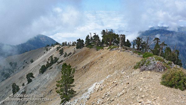
Now that Hwy 2 was open between Islip Saddle and Vincent Gap, and we could do a car shuttle, Miklos, Krisztina and I had decided to run from Inspiration Point to Islip Saddle on the PCT. Starting at Inspiration Point instead of Vincent Gap adds about 4.5 miles to the run, but the miles are relatively easy, and the stretch is a good warmup for the 2800 ft. climb up Mt. Baden-Powell.
Here’s a Cesium browser View of a GPS trace of our approximately 18 mile route. We wandered down the south ridge of Mt. Baden-Powell, so this is a little longer than the usual route. The elevation gain was about 3300 ft., with an elevation loss of about 4000 ft. Continuing over Mt. Williamson to Eagle’s Roost would add about 4 miles and 1400 ft. of elevation gain.
Note: The speck in the summit photo is one of several violet-green swallows working lift and zooming along the top of southeast face.