Category Archives: photography|landscape

Long Canyon to Simi Peak and China Flat

Wood Ranch Open Space

Wood Ranch Open Space

The fire road was covered with crawling and darting bees — so many I could feel the low, resonating buzz of the colony. Standing in the middle of the buzzing bees, I heard an “Oh crap!” from behind me. A mountain biker — stopped about 20 yards away — explains he’s allergic to bee stings.

We were a little east of the China Flat “T” on the Albertson “motorway” — a fire road in the Simi Hills. Taking advantage of cool, sunny weather in the Los Angeles area, I was doing a course I had not done for years, an out and back trail run from the Wood Ranch trailhead to Simi Peak, with a short circuit around China Flat.

I had taken a short detour to check a small vernal pool hidden in the oaks off the fire road. There are surprising number of these ephemeral water sources in the Simi Hills. They sometimes have water when it’s unexpected, but this time the pool was dry.

The bees on the road were digger bees, ground nesting bees that look like fuzzy honeybees. Like honeybees, males have no stinger. Males swarm over the burrows of females, waiting for them to emerge. Females can sting, but in my experience, and from what I’ve read, are generally not aggressive. Here’s a very short video (from later in the run) of a second colony on the Simi Peak Trail.

Not being able to risk being stung, the mountain biker waited on the side of the road for his buddy to realize he wasn’t behind him anymore. I headed back to the China Flat Trail, and then continued to Simi Peak. Here’s a Google Earth image and Cesium browser View of a GPS trace of my approximately 10.75 mile route.

Note: A mountain biker on the Long Canyon trail told me he had seen a mountain lion in the area earlier in the morning. He was certain that it was a mountain lion, and not a bobcat or coyote.

Rocky Peak Running Weather

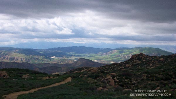
View northwest from Rocky Peak

Brrr… I picked up the pace — even with long sleeves it was COLD on Rocky Peak Road. Another in a series of blustery April systems was stirring up the weather in Southern California. Thickening clouds spritzed rain, and a belligerent wind told me in laughing gusts that I could not run fast enough to stay warm.

Occasionally a patch of sun would find its way through the clouds, briefly warm and encouraging. I needed only  to think of the 100 degree days ahead to appreciate the chilly temps.

Another cool system is forecast to move through Southern California on Friday, bringing with it a chance of rain — and more great running weather. Easter weekend should be spectacular!

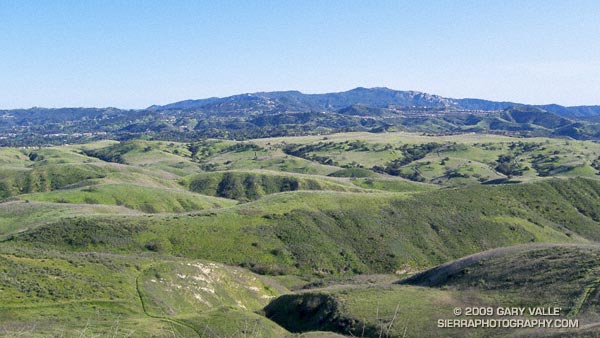
Some related posts: Simi Valley from Rocky Peak, San Fernando Valley from Rocky Peak

Sugar Pine & Clouds

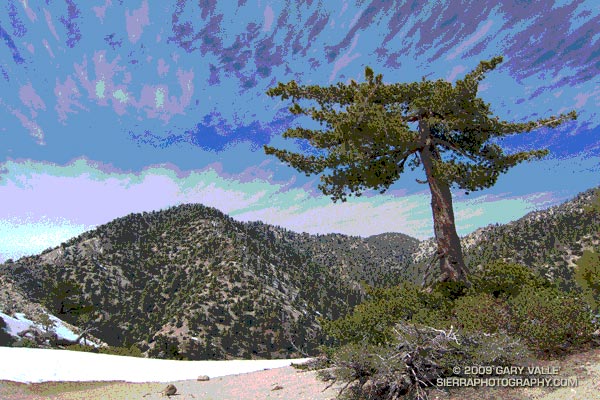
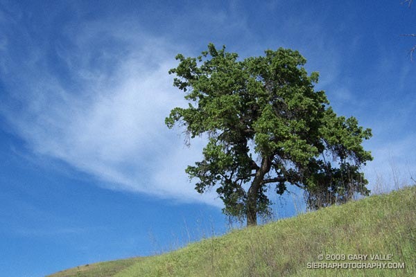
Sugar pine on Kratka Ridge, in the San Gabriel Mountains, near Los Angeles

After a nostalgic hike to the bottom of Switzer Falls, drove to Islip Saddle to check out the snow conditions. Clouds ahead of Sunday’s storm prompted a short run along Kratka Ridge to photograph some of the stunted sugar pines. Here’s the unaltered version of the title image.

Lower Stagecoach – Hummingbird Loop

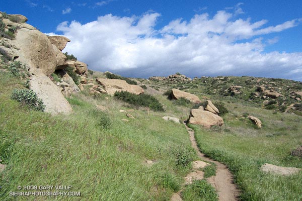
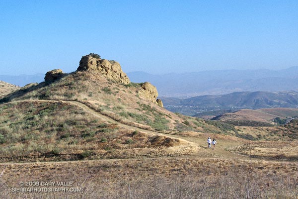
Hummingbird Trail in Rocky Peak Park

Hummingbird Trail

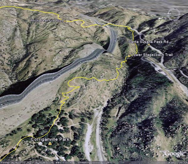
 The Lower Stagecoach – Hummingbird loop is a shorter, somewhat less strenuous alternative to the Chumash – Hummingbird and Chumash – Las Llajas loops. Approximately 6 miles long, about a mile of the route is on pavement, with the remainder on single track trail and fire road. The elevation gain/loss on the loop is about 1300 ft.


https://photographyontherun.com/content/binary/LowerStagecoachGoogleEarth.jpg
I usually start the loop at Santa Susana Pass and pick up the Lower Stagecoach Trail a short distance west of the pass down Santa Susana Pass Rd. The route climbs out of the canyon before descending to Corriganville Park. It does not follow the old road bed (with a lot of poison oak) down the canyon, or cross the Metro Link railroad tracks.

As discussed in the post Chumash – Hummingbird Loop, the area on Kuehner Dr. near the start of the Hummingbird Trail is being developed, but it appears that development has been suspended. The Hummingbird trailhead is located at the end of Kuehner Dr., near the entrance to Hummingbird Ranch. Trail signs have been placed indicating the route of the trail over park district property. Here’s a Google Earth image and Google Earth KMZ file of a GPS trace of the loop.

Some related posts: Chumash – Hummingbird Loop, Chumash – Las Llajas Loop, Old Santa Susana Stage Road