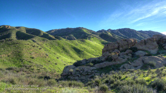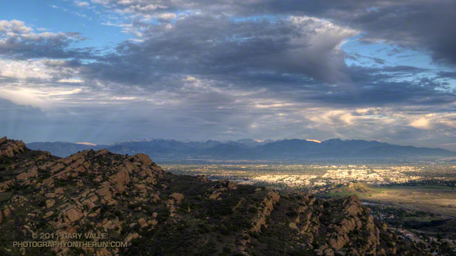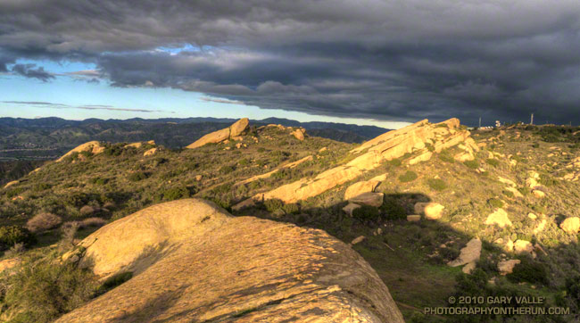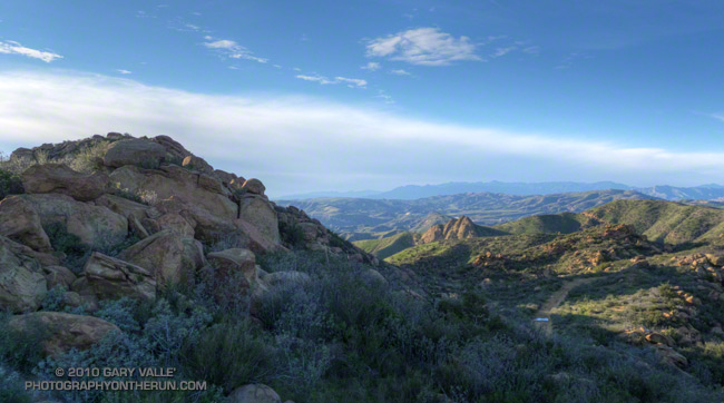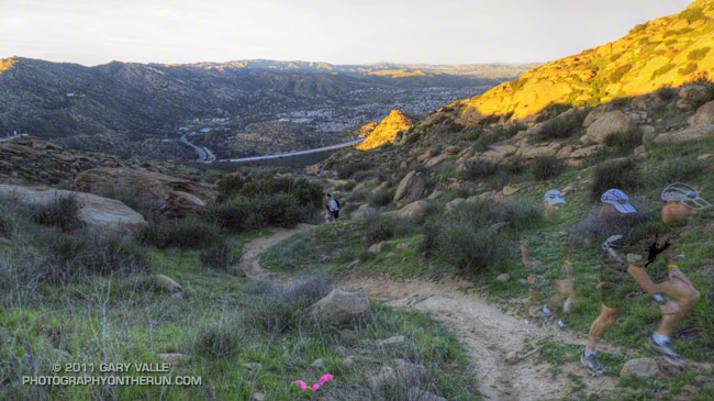
A view from the Simi Hills, across the San Fernando Valley, to the San Gabriel Mountains.
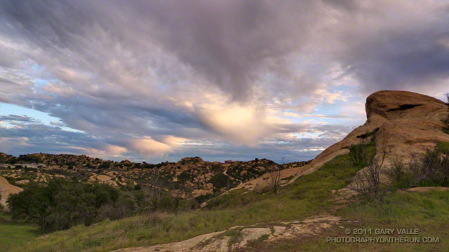
From today’s trail run in the Simi Hills.
A view from the Simi Hills, across the San Fernando Valley, to the San Gabriel Mountains.
From today’s trail run in the Simi Hills.
As skies cleared Monday afternoon, we thought we had put a wrap on the wet weather — at least for a while. But the Sunday-Monday system left a cutoff upper low spinning off the coast of Southern California, and as that low moves east over the next couple of days it could produce some showers.
That’s the way it’s been this rain season. Looking back through NWS rainfall data, since October 1 we’ve gone no more than 10 days at a stretch without measurable rain at Downtown Los Angeles (USC).
Even if our weather becomes more typical of what occurs during a La Nina episode, 81% of our normal annual rainfall is already in the bucket. To have an average year all we need is 2.86 inches between now and June 31. Downtown Los Angeles normally records about two-thirds of its annual rainfall in the months of January, February and March — around 10 inches — so (theoretically) 2.86 inches shouldn’t be hard to do. But we’ll see!
The title photograph is from a run in the Simi Hills on Monday.
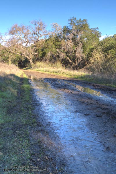
At the start of my run East Las Virgenes Canyon was deep in shadow, and it was cold, cold, cold. At least by Southern California standards. But it would be warm enough, soon enough, and being a little chilly now would make the sun feel even better when I escaped from the canyon. The good news was the temperature was near freezing, and the muddy sections of dirt road in the canyon were mostly frozen.
I was doing a run I often do before a race, or when I want to back off the distance and elevation gain a bit — a 13 mile route from the Victory trailhead at Ahmanson Ranch, through Cheeseboro Canyon. The route starts the same as the run to Simi Peak, but when you get to Shepherds Flat, you turn left (south) down Cheeseboro Canyon.
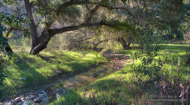
Picking up the pace to try and generate some warmth, it took about 30 minutes to get to Las Virgenes Canyon. In another 15 minutes or so, I had forked left off the dirt road onto the Sheep Corral Trail. This singletrack trail meanders through live oaks along upper Las Virgenes Creek before working up and over to Shepherds Flat.
For the first time in several years, this part of Las Virgenes Creek was flowing. The last time it had more than puddles of water was during the record setting El Nino rain season of 2004-2005. That year Downtown Los Angeles recorded more than twice it’s normal amount of rainfall.
At the six mile point I reached the junction at Shepherds Flat and turned onto the Sulfur Springs Trail. With the exception of one very wet section, Cheeseboro Canyon was mostly in good shape. There was still some ice on the mud puddles in the lower part of the canyon.
Keeping my shoes mostly dry and mud free had become kind of a game, but a game I was destined to lose. When mud thaws it becomes incredibly sticky, and that happened on the connector that links Cheeseboro Canyon to Las Virgenes Canyon. It was like running in 5 lb. Hokas.
The worst of the unavoidable mud ended at Las Virgenes Canyon, and after another 30 minutes or so of dodging mud puddles, I was back at the Victory trailhead. It was a fun run and a great way to start the New Year.
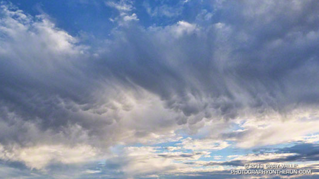
Foretelling the approach of a system forecast to bring wet weather to some areas north of Pt. Conception New Year’s Day, and Los Angeles Sunday, this thick cirrus cloud shield is associated with the circulation around a low a few hundred miles off the Pacific Northwest coast.
Wednesday’s cold front, the latest in a series of surprisingly frequent December weather systems, increased the water year rainfall total at Downtown Los Angeles (USC) to 11.70 inches. As of today, L.A.’s rainfall total is about 8 inches above normal, and more than three times the normal amount of rainfall for the water year to date. For the first six months of the 2010-11 water year, the rainfall total for Downtown Los Angeles is the fourth wettest in the 133 years that records have been kept. The water year starts on July 1 and ends June 30.
The photograph is from today’s run on the Chumash Trail and Rocky Peak Road, northwest of Los Angeles. It was cold on the north facing sections of trail that don’t see the sun this time of year. Inch long needle ice crystals had formed along the margins of the trail in several places.
As much rain as we’ve had in Southern California, we’ve still seen some stunning December days with blue skies, pleasant temperatures, and sensational trail running.
Today I was running with Frank and Lynn. They’re visiting from the Pacific Northwest, where the amount of rain has been more or less normal, and spending Christmas in Southern California, where — you know — we’ve had the wettest December in 121 years.
More rain was forecast for late Christmas Day, but today we were between storms. To celebrate the wonderful Christmas Eve weather we did the 21 mile Will Rogers – Temescal loop from Marvin Braude Mulholland Gateway Park in the San Fernando Valley.
The run is a Santa Monica Mountain classic, descending from the crest of the range along one long ridge nearly to the coast, and then ascending back to the crest on another. The views along the ridges are boundless, encompassing the Ventura Mountains, San Fernando Valley, San Gabriel Mountains, San Bernardino Mountains, Saddleback, downtown Los Angeles, Westwood, Santa Monica, Catalina and more.
Today, the high peaks east of the basin were capped by new snow, and in addition to Mt. Baldy, it was easy pick out San Bernardino Peak, far to the east. From near Skull Rock, Santa Monica Bay glittered in the sun, the shore of the Pacific extending in a graceful arc to Palos Verdes Peninsula and Catalina.
There were the usual muddy and wet sections that follow a good rainstorm, but other than one small rock and mud slide on the Rivas Canyon Trail, the trails were in surprisingly good shape. It was an outstanding run!
Some related posts: Will Rogers – Temescal Loop, Will Rogers Western Ranch House, Los Angeles Basin Fog
Today was one of those spectacular, sunny, warm December days we relish in Southern California; perfect for just about any outdoor activity. High temperatures were forcast to be in the high 80’s or low 90’s, and temperature records for the date were expected to be broken in many areas. As I ran north in upper Las Virgenes Canyon, I wasn’t sure where, or how far, I was going to run. On such a great day, it really didn’t matter.
Yesterday I’d looked across at Simi Peak while ascending Ladyface, and realized it had been more than a year since I’d run to Simi Peak from the Victory trailhead at Ahmanson Ranch. Rain was forecast the following weekend, so I’d better take advantage of the good weather while I had it! The out and back run to Simi Peak would be a good one.
The most direct route to China Flat and Simi Peak from upper Las Virgenes Canyon road is the Sheep Corral Trail. This singletrack trail forks left (west) from the road where Las Virgenes Canyon splits, initially following the main creek west, rather than the pipeline north. The singletrack is popular with mountain bikers and can be used to connect to the Cheeseboro Ridge and Cheeseboro Canyon trails. Both of theses trails are good options for doing a lollipop loop back to Las Virgenes Canyon.
Today I would continue past Cheeseboro Ridge and Cheeseboro Canyon to the Palo Comado fire road. Palo Comado leads up and over a low pass to an old sheep corral at China Flat. Simi Peak is bit more than a mile west of the corral. It usually takes about 15-20 minutes to run there from the sheep corral.
Here’s an interactive Cesium browser View of a GPS trace of my out and back route.
Some related posts: Simi Peak Out & Back, Scenic Route to Simi Peak, Vernal Pool at China Flat