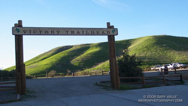
Following are brief descriptions, Google Earth images, and a Google Earth KMZ file of several trail runs at Ahmanson Ranch — now Upper Las Virgenes Canyon Open Space Preserve. These are shorter courses, generally on dirt roads, that extend as far west as Las Virgenes Canyon. Some longer runs in this area are listed in the Santa Monica Mountain Conservancy Open Space section of my Google Earth KMZ Files of Trail Runs page.
The distances and elevation gains/losses specified are for a round-trip from the Victory trailhead, and are approximate. Any of the courses can be lengthened by 2.6 miles by starting at the El Escorpion Park trailhead at the west end of Vanowen. This also adds about 350′ of elevation gain/loss.
To simplify labeling the courses, the main (dirt) road between the Victory trailhead and Las Virgenes Canyon is referred to as the “Main Drag.” This term was coined by long-time Ahmanson runner Jon Sutherland. The Upper Las Virgenes Canyon Open Space Preserve map refers to this road as the East Las Virgenes Canyon Trail. The road also has been designated a segment of the Juan Bautista De Anza National Historic Trail.
Here is the Google Earth KMZ file for the trail runs described below. To avoid clutter, when the file is opened in Google Earth, only two of the courses are initially displayed. Additional runs and variations can be viewed by clicking on the checkbox for the course.
If you are new to running at Ahmanson, a couple of things to watch out for are rattlesnakes and the heat. It also gets very muddy when it rains. Enough talking, let’s get to running…
Lasky Mesa Mary Wiesbrock Loop (3.7 mi, 270′ gain/loss)
Of the courses listed, this run has the least amount of elevation gain. Following a short stretch of downhill, the route does a big switchback and climbs up to the eastern shoulder of Lasky Mesa. The climb is fairly moderate, but comes early in the run. About 1.2 miles from the Victory parking lot is a “Y” junction, marked by some rocks and a trashcan. (A pair of ravens also like to hang out here.) This is the start of the 1.3 mile loop that honors Mary Wiesbrock, whose tireless efforts helped save Ahmanson Ranch from development.
If you do the loop counterclockwise, taking the right fork at the “Y,” in about 0.6 mile the Mary Wiesbrock loop turns left (south) onto a connector road. This leads to a “T” junction and the southern leg of the loop. A left turn at the “T” continues east through grassland to some ranch buildings, and another left leads back to the “Y” at the start of the loop. All of the loop is on dirt road, and there are some trail markers.
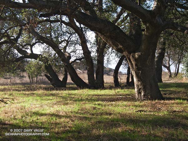
If you miss the turn onto the north-south connector, the north road continues to an overlook at a prominent Valley Oak on the western end of Lasky Mesa. From this point the extension of the south road can be used to return to the standard route and the “Y” junction. This extended version of the Mary Wiesbrock loop increases the length of the course to 4.25 miles.
Main Drag – Lasky Mesa Loop (3.7 mi 380′ gain/loss)
Except for a short stretch at its beginning and end this course is a complete loop. It starts the same as the Lasky Mesa Mary Wiesbrock Loop, but instead of turning left up the big switchback, it turns right onto the Main Drag. Here, the road curves downhill and then turns west. After passing through a grassy riparian area, the road climbs a short hill and continues westward.
About a mile from the parking lot, a prominent oak tree can be seen on the crest of hill, directly south of the road. This is the “lollipop tree.” In about a tenth of a mile, at a junction with a trashcan and trail marker, this course forks left (south) off the Main Drag , and drops down to another grassy riparian area along the main drainage of East Las Virgenes Canyon. From here the road climbs about 1/2 mile up to Lasky Mesa.
At the top of the climb the road intersects the northern leg of the Mary Wiesbrock Loop. There are three route choices here. This course curves left (east), and then forks left and follows the winding road along the scenic northern edge of Lasky Mesa through valley oaks to the “Y” junction of the Mary Wiesbrock Loop. From here it’s a little over a mile back to the parking lot.
A slightly longer variation also curves left at the top of the hill, but forks right and continues south up a short grade. This leads to a “T” junction and the southern leg of the Mary Wiesbrock Loop. Continuing on the loop counterclockwise, this variation circuits Lasky Mesa’s grasslands around to the same “Y” junction as the standard course.
The third, and longest, variation turns right at the top of the long climb, and does the extended version of the Mary Wiesbrock Loop counterclockwise around the mesa to the “Y” junction.
There is also a scenic 3.3 mile variation that branches from the standard route in the grassy area just before the long climb, and ascends a well-used single track southeast to Lasky Mesa just west of the “Y” junction of the Mary Wiesbrock Loop. A left turn (east) here leads to the “Y” junction in about 200 yards.
Out & Back to Las Virgenes Canyon (5.3 mi, 465′ gain/loss)
This course starts the same as the Main Drag – Lasky Mesa Loop, but instead of turning left a little past the Lollipop tree, it continues west on the Main Drag all the way to Las Virgenes Canyon.
This is a good course for a tempo run — particularly the out leg to Las Virgenes Canyon. When the weather is hot the return leg (gradual uphill, often with the wind) can be tough.
If this run is extended to the Las Virgenes Rd. Trailhead it adds about 0.8 mile to the out and back course.
Las Virgenes Keyhole Loop (6.6 mi, 625′ gain/loss)
This is an excellent and varied course that loops through Las Virgenes Canyon and crosses Las Virgenes Creek twice. Following Winter rains you might even get your shoes wet!
The run starts the same as the Out & Back to Las Virgenes Canyon, but turns right (north) off the Main Drag at a junction (with a trashcan) at about the two mile point. From here, it is about a mile to Las Virgenes Canyon, and another mile down the canyon to the turn back onto the Main Drag.
There is a 7.3 mile variation of this course that turns south off the Main Drag about 1/3 mile east of Las Virgenes Canyon and follows a pipeline service road up to the western end of Lasky Mesa. This climb is known as “The Beast.” Some other roads/trails in this immediate area are posted “Restoration Area — Please Keep Out” so be sure you’re on the right trail.

