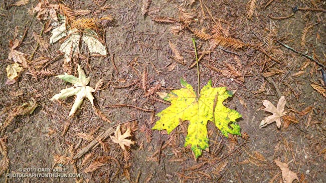
From a hike on the Ritchey Canyon and Redwood Trails in Bothe-Napa Valley State Park. The hike was one of several before-the-wedding activities arranged by Amanda & Brett. (Yep, there was also a trail run.)

From a hike on the Ritchey Canyon and Redwood Trails in Bothe-Napa Valley State Park. The hike was one of several before-the-wedding activities arranged by Amanda & Brett. (Yep, there was also a trail run.)
We’d just arrived in Calistoga for Amanda & Brett’s wedding, and I was looking through the “where’s the ice machine” info provided by the B & B. A couple pages down, past the wineries and restaurants was a list of local hiking trails. What better way to work off the torpor of I-5 than to do a trail run?
The trailhead for the Oat Hill Mine Trail was just a half-mile away and in a few minutes I was jogging north on Hwy 29 toward Silverado Trail road. I had about two hours before I needed to be back. The sun would be setting in a couple of hours anyway, so I could run up the trail about 75 minutes before turning around.
Other than the brief description in the B & B info, I had not researched the trail. It looked like it worked up the east side of a ridge through oak, pine and fir toward some volcanic outcrops. On a hot day the trail would be brutal. This afternoon the temperature was around eighty, and in the long shadows of the ridge, it was relatively cool and shady.
Since it follows an old mine cart road, the grade of the trail is generally not too steep and is very runnable. It’s rough and rocky in places, but most trails I run are rough and rocky in places. Heads up – the trail appears to be multi-use. Judging from the bear scat there are some bears (and other animal life) in the area as well.
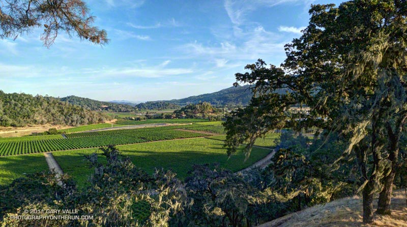
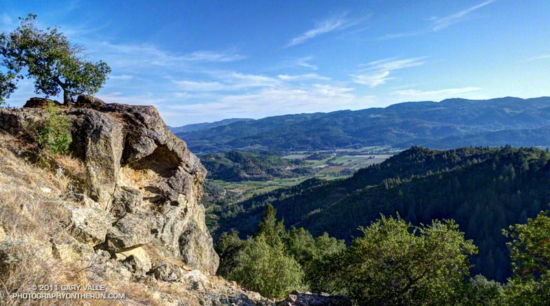
Low on the trail there were oak and pine framed views of the vineyards north of Silverado Trail, and higher up nice views of Napa Valley.
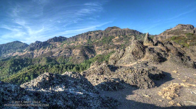
I could have pushed it a little further up the trail, but the natural spot to turn around was the top of Bald Hill. A short use trail leads to the top from the saddle northeast of the hill. Oddly shaped fingers and pinnacles of weathered volcanic rock (andesite) form its summit.
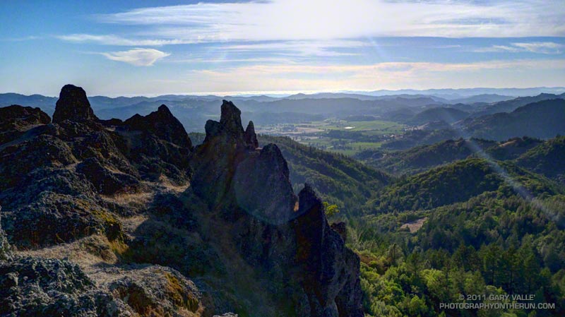
The volcanic bluffs known as the Palisades encompass much of the view to the North. To the northwest is Mt. St. Helena, abutting the west end of the Table Rock-Palisades escarpment. To the west is Napa Valley, and in the distance, the coast near Bodega Bay.
The Oat Hill Mine Trail page of the Napa County Regional Park and Open Space District web site has more info about the trail, including a PDF brochure, trail map and a self-guided tour of the geology along the trail. The round-trip length of the run from near Brannan & Lincoln in Calistoga was a little under eight miles, with an elevation gain loss of about 1500′. From the trailhead it’s about a mile less.
With a car shuttle, the approximately 11 mile route linking the Table Rock, Palisades, and Oat Hill Mine trails looks like it would be an outstanding trail run. The Table Rock trailhead is about 8 miles north of Calistoga on Hwy 29. Next time!
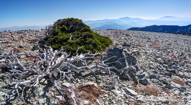
Its limbs bleached and bare, the mountain mahogany (Cercocarpus ledifolius var. intermontanus) in the foreground may have been the progenitor of the second shrub, affording it some protection from the elements as it germinated and grew.
From the traverse of Mt. Harwood on the Back to Baldy trail run.
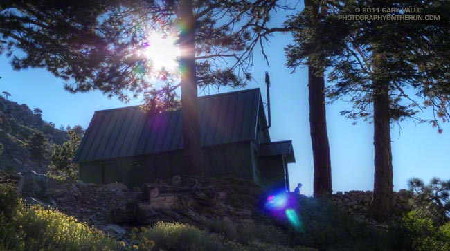
A hiker contemplates the day from the front steps of Mt. Baldy’s San Antonio Ski Hut.
From Sunday’s Back to Baldy trail run.
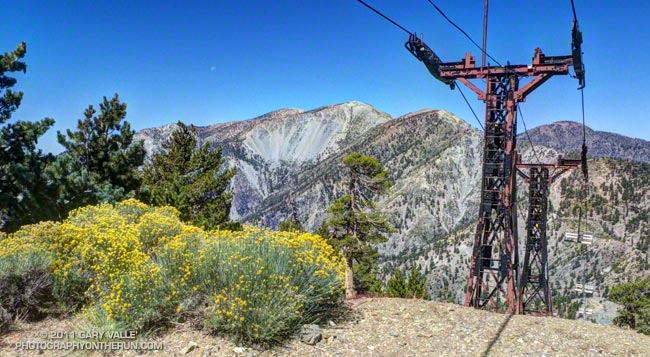
Today was the first chance I’d had to get back to Mt. Baldy since the Run to the Top was called 45 minutes into the race on Labor Day. Thunderstorms were the problem that day, but not today. The waning moon was the only blotch of white in the cloudless sky, and it wasn’t going to cause any weather problems.
Part one of the plan for today’s run/hike was to do a “run to the top” of Baldy using the ski hut trail. That would help make up for the incomplete race on Labor Day. Part two was to do some peakbagging and climb West Baldy, Mt. Harwood, Thunder Mountain and Telegraph Peak. Relatively close together, these peaks can be done as part of an 18 mile adventure, with an elevation gain and loss of about 6000′.
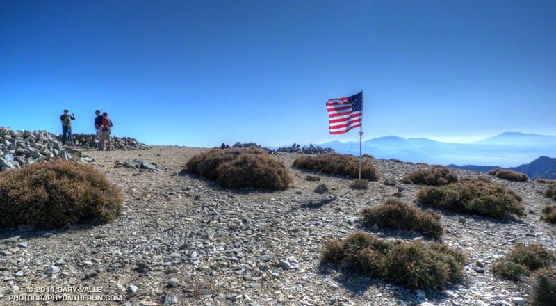
Climbing Baldy via the ski hut trail is about three miles shorter than the Run to the Top route via the Notch, but takes me about the same amount of time. Ultimately it’s the rate of climb that can be sustained that determines your speed up the peak, and the elevation gain by either route is about 3900′. The ski hut trail can be busy, but I enjoy climbing the peak by this route. The tradeoff is that it is steeper and is less runnable.
Without some weather to stir things up, the views from the summit of Mt. Baldy were a little hazy, but San Gorgonio and San Jacinto could still be seen off to the east, Saddleback to the south, and Mt. Baden-Powell and other peaks of the San Gabriels to the northwest. I could also see Telegraph Peak sitting behind Thunder Mountain, and wondered how the trail between them was going to be.
After doing the half-mile jog over to West Baldy, I returned to the summit of Baldy and descended to the Baldy-Harwood saddle. Mt. Harwood is another one of those peaks I’ve run past many times. Harwood sees far fewer ascents than Baldy, but enough so that a path has developed from the Baldy-Harwood saddle up its broad west ridge. Today, save a a red-tailed hawk cruising by, its summit was empty.
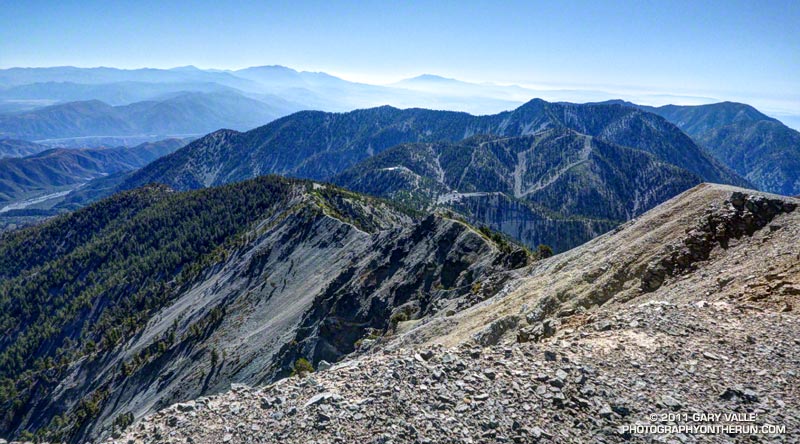
Continuing along Harwood’s elongated summit, I began to work down the peak’s east ridge, staying on its crest. The east ridge is steeper and much less traveled than the west ridge. It is an extension of the Devil’s Backbone and its north side is a steep, crumbly precipice that drops more than 3000′ to Stockton Flat. The views along the ridge are excellent, but some care is required.
The east ridge of Mt. Harwood rejoined the trail at the Devil’s Backbone. From there it took about 15-20 minutes to run down to (just above) the Notch and start up the service road that leads past the new snow making reservoir to the top of Thunder Mountain. I’d been to the top of Thunder several times and by several means — by ski lift, by mountain bike, and by foot during the Baldy Peaks 50K. In that race Thunder had been the final challenge after climbing Mt. Baldy twice — once from the village and once from Manker Flat.
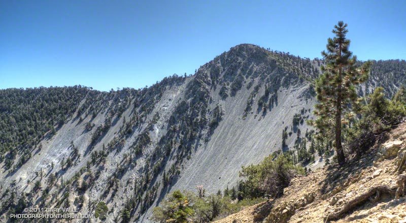
Maybe because of pushing the pace on the ski hut trail, I was pretty worked going up the road to Thunder, and wondered if I was going to be able to make it to Telegraph Peak before my loosely set turnaround time of noon. I’d hoped to get back down to the car and on the road by around 1:30 pm, and felt like I was running a little behind.
But Telegraph is a compelling peak, particularly when viewed from the northwest, and from Thunder Mountain it only took about 30 minutes on the Three Tee’s Trail to get to its summit. In another 30 minutes I was back at Thunder Mountain, and looking forward to the five miles of downhill that would take me back to the car.
Related post: Mt. Baldy Run (Part Way) to the Top 2011
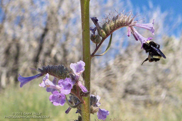
This bumblebee is doing its best to hold on and squeeze far enough into a Turricula blossom to slurp some nectar.
Other than rabbitbrush, there are not many food choices for bees in the Southern California mountains in the Fall, so they have to take advantage of what can be found.
Not much Turricula (Poodle-dog bush)* is blooming either, but it has been such a prolific fire-follower that here and there a plant is in flower.
*The taxonomic name for Turricula parryi (Poodle-dog bush) has changed to Eriodictyon parryi. The Jepson Manual: Vascular Plants of California, Second Edition (2012) has returned Turricula to the genus Eriodictyon, as originally described by Gray. According to the Wikipedia entry for Turricula (April 11, 2012), “… molecular phylogenetic analysis carried out by Ferguson (1998) confirms that Turricula should be treated as a separate genus within a clade (Ferguson does not use the term “subfamily”) that includes Eriodictyon, and also the genera Nama and Wigandia; Eriodictyon is the genus to which Turricula is closest in molecular terms, and is its sister taxon.” I use “Turricula” and “Poodle-dog bush” interchangeably as a common name.
From Sunday’s Ten Miles – Four Peaks run in the San Gabriel Mountains.