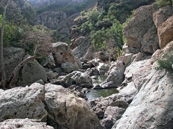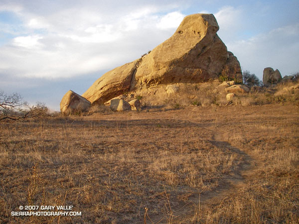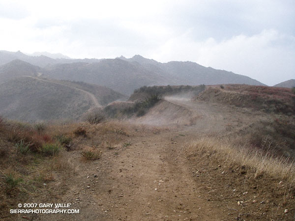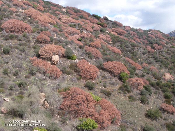
View of rock formations along the escarpment between Boney Mountain and Sandstone Peak from the Yerba Buena segment of the Santa Monica Mountains Backbone Trail.
Related post: Balance Rock.
View of rock formations along the escarpment between Boney Mountain and Sandstone Peak from the Yerba Buena segment of the Santa Monica Mountains Backbone Trail.
Related post: Balance Rock.
When I heard the news reports of snow in the Santa Monica Mountains along Kanan-Dume road near Malibu, I hoped to find a little snow or hail up at Sage Ranch Park on my afternoon run.
The isolated snow showers, hail and sleet were produced by convective cells that developed as a result of instability associated with a passing upper level low. Some of these cells also generated some lightning and thunder.
There was no snow on the ground at Sage Ranch, but the low angle rays of the setting sun did highlight a snow shower over the Rocky Peak Park area. In March of last year there was snow at Sage Ranch and Rocky Peak.
Related posts: Chumash Trail Snow, Oat Mountain Snow, San Fernando Valley from Rocky Peak.
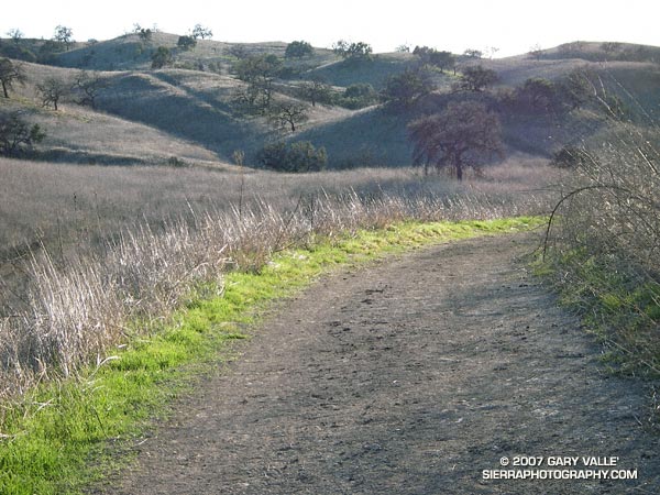
Hillside oak and trail near Laskey Mesa. From a run in Upper Las Virgenes Canyon Open Space Preserve (formerly Ahmanson Ranch).
The open space areas in which I run would normally be lush and green by this time of year, particularly when there is an El Niño. But in the past 231 days (including today) the official weather station for Los Angeles has recorded only 1.31 inches of rain, and the hills remain a dank sun bleached gray-brown.
As mentioned in my post The Color of Rain, usually when there’s an El Niño, wet Winter weather can be expected to occur in Southern California. This year’s El Nino was late to develop, became stronger than expected, and may have already peaked.
Warm water in the tropical western Pacific contributes to the development of an El Niño, and studies show this pool of warm water has been increasing in temperature, perhaps increasing the strength and frequency of El Nino’s. The quirkiness of this year’s El Niño may be related to these changes.
Is any relief to our drought in sight? Not in the short term. A system forecast to affect the Los Angeles area Thursday and Friday will likely result in cooler temperatures and more wind, but little – if any – rain*.
In his blog Atmospheric Insights, NWS scientist Ed Berry discusses the possibility of a high impact precipitation event developing in California later this January*. A flow pattern with a strong lower latitude jet stream is typically associated with El Niño induced precipitation events in California.
California weather this rain season will be closely monitored by scientists participating in NOAA’s Hydrometeorological Testbed (HMT) Program. This program is “aimed at accelerating the infusion of new technologies, models, and scientific results from the research community into daily forecasting operations of the National Weather Service (NWS) and its River Forecast Centers (RFCs).”
The photograph of the dry grasslands in the Simi Hills west of Rocketdyne was taken on a run to the northern boundary of the Upper Las Virgenes Open Space Preserve on December 24, 2006. The photograph of the green hills in the Ahmanson Ranch area of the Upper Las Virgenes Open Space Preserve is from a run on January 18, 2005.
*Updated 01/10/07. Today’s runs of the computer weather models are projecting from about 0.1 inch to 0.25 inch of rain from this system at Los Angeles. Also, see the January 10 update to Ed Berry’s Atmospheric Insights blog. Consolidation of the Pacific jet now appears unlikely, so we may not see typical El Nino impacts developing in California this month. There may be rain, but perhaps not as a result of a classic El Nino pattern. We’ll see!
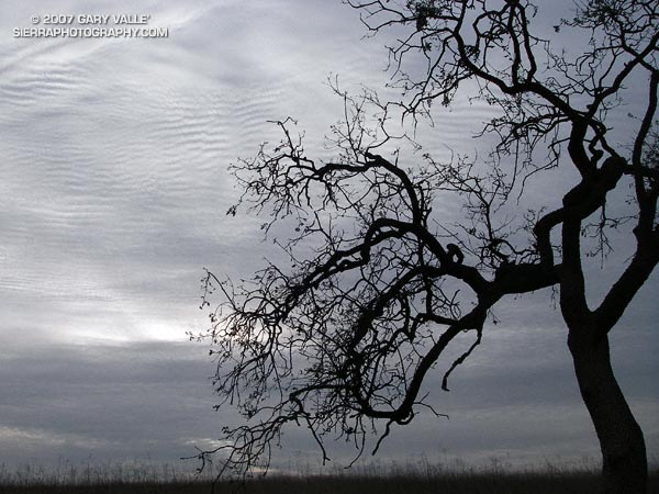
On the South Fork American River is a tree high on a ridge that rafters and kayakers refer to as the Lollipop Tree. It marks the beginning of the Gorge run and the class III rapid “Fowler’s Rock.”
When I run on the “main drag” at Ahmanson Ranch (Upper Las Virgenes Open Space Preserve) there is an oak tree that sits on a hilltop near Laskey Mesa that reminds me of the S.F. American tree. The Ahmanson lollipop tree can be seen on the skyline south of the main drag about a mile from the Victory trailhead.
This photograph was taken on an exploratory out and back run to the headwaters of Las Virgenes Creek on Christmas Eve.
Note: Jon Sutherland nicknamed the main road that connects the Victory trailhead to Las Virgenes Canyon the “main drag.” Jon has run out at Ahmanson for more than 30 years. He is second on the Running Streak List for most consecutive days run. As of September 1, 2006 his streak was 13,613 consecutive days (37 years 99 days), and still counting!
The Chumash and Hummingbird trails are popular trails in the eastern Simi Valley, north of the 118 Freeway. These trails ascend the steep western flank of the Santa Susana Mountains to Rocky Peak fireroad. A scenic loop can be created using these trails and a connection between the Chumash and Hummingbird trailheads down in the valley. There are a few ways to do this, and the loop has proved popular.
The Chumash trailhead is on Flanagan Dr., off of Yosemite, and the Hummingbird trailhead is on Kuehner Dr. just north of the 118 Frwy. Currently, no official trail connects these trailheads. To connect them via city streets (Yosemite, E. Los Angeles Ave., Kuehner) is a long detour on pavement and doesn’t make sense from a trail-running or hiking point of view.
For many years a more direct, unofficial route has been used to connect the two trailheads. Most of the route is on dirt roads through undeveloped property. Using this route the length of the Chumash-Hummingbird loop works out to about 9.2 miles with about 1700′ of elevation gain. It’s an excellent hike, run or ride with great scenery and views.
For a number of years access to the Hummingbird Trail from Kuehner Dr. has been across property that is now being developed. A chain link fence has been in place along Kuehner for some time. Apparently, at the north end of this chain link fence there is a conservation easement that allows access to the Hummingbird Trail via a corridor adjacent to the (private) Hummingbird Ranch property. It was necessary to use this access easement when I ran this loop last weekend.
The property on the west side of Kuehner is also being developed. As I understand it, Mt. Sinai Dr. will eventually connect to Kuehner and a small parking lot will be built for trail users. Hopefully, some provision will also be made to officially connect the Chumash and Hummingbird trailheads and preserve this scenic loop.
The photograph of the oak is from a run of the loop on April 28, 2005.
Update 12/26/06 – Mike Kuhn, the director of the Rancho Simi Trailblazers, sent me the following information regarding the Hummingbird trail easement:
“At the top of Kuehner Drive is a cul-de-sac at the gate to the Hummingbird’s Nest Ranch. The white plastic fence marks the boundary of the ranch. There is a corridor of land owned by the park district along the white plastic fence down to the creek and hence to the usual crossing of the creek.”
He also said that a trail connection between Chumash and Hummingbird is in the planning stages, and encourages all trail users to be patient while the construction at Kuehner is underway.
Related post: Lower Stagecoach – Hummingbird Loop