Category Archives: running|races

Holcomb Valley 33 Mile Trail Run 2011

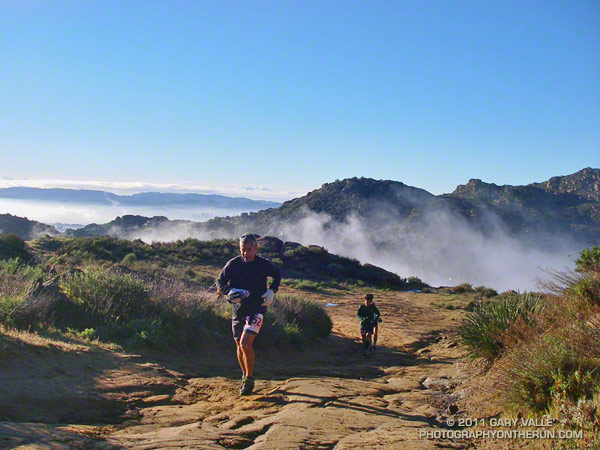
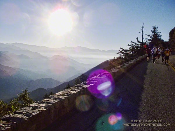
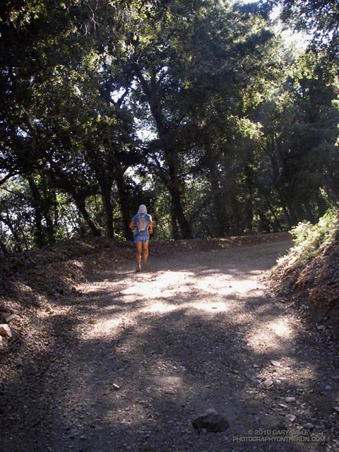
When you’re a middle-of-the-pack runner doing a 33 mile race in the mountains of Southern California you have a lot of time to think. I’d already been running 5 1/2 hours, and what I was thinking about at the moment is that I wished I had spent the last week in Big Bear, Mammoth, or anywhere higher than the soaring 890′ elevation of the west San Fernando Valley.


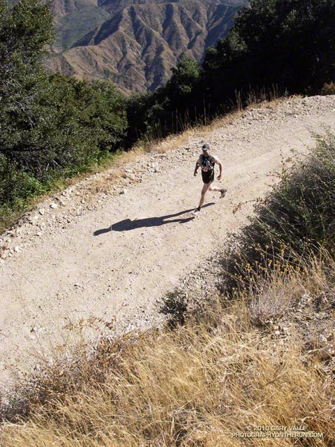
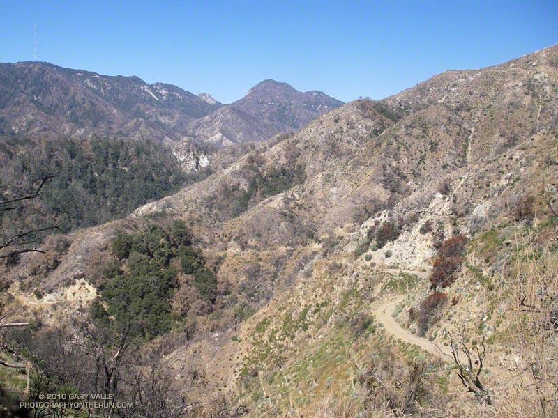
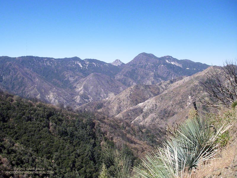
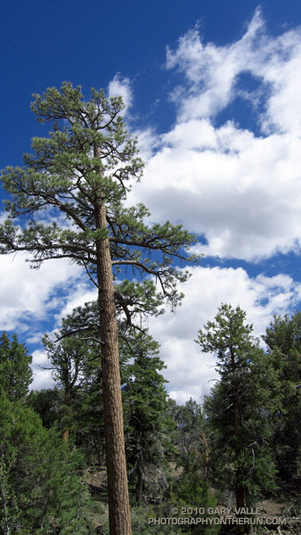
Why? The Holcomb Valley 33 Mile course is deceiving. Even though it has only one steep climb, and the total elevation gain/loss is only about 3600′, it has the highest average elevation of any 50K in Southern California. Nearly 30 miles of the course are above 7000′, and this translates to a big performance hit, especially for the unacclimated, middle-of-the-pack runner.

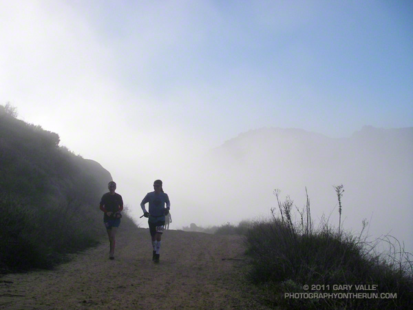
In addition to wishing I was acclimatized, I was also thinking that we’d lucked out again this year and the weather for the race was pretty comfortable. It was warmer at the start of the race than last year, and even though the midday temps recorded at Fawnskin were almost identical to last year, it felt a little warmer for most of the run. (The descent to, and climb out from, aid station #6 must be tough on a day in the eighties!)


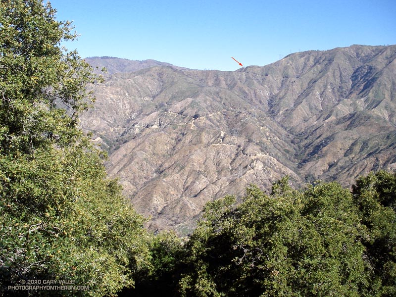
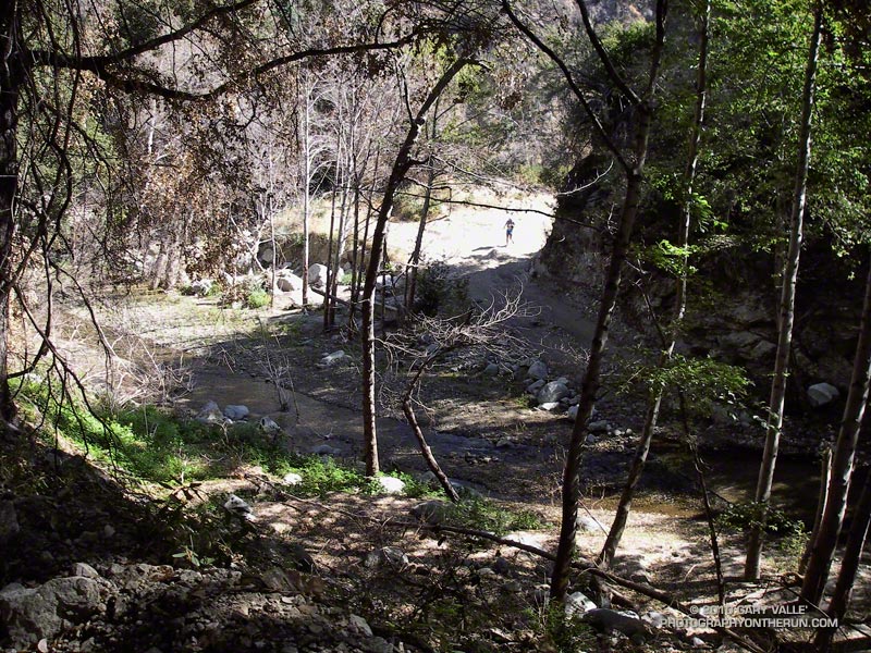
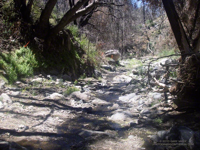
And besides the altitude and weather, I was thinking it was taking a long time to get to aid station #7. It seemed I should have reached the Belleville miner’s cabin by now. The cabin’s at about mile 26 and only about a mile and a half from the LAST aid station.

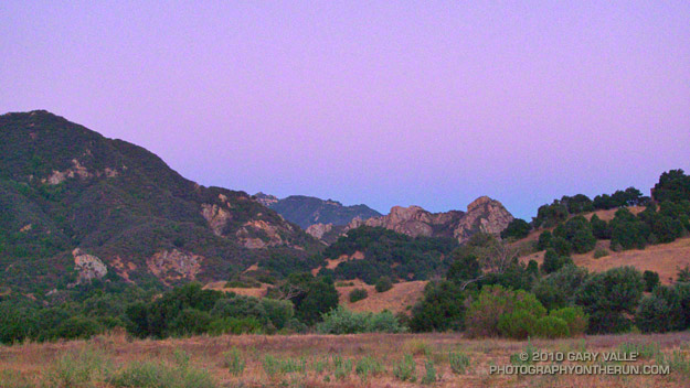
Finally, the flat surrounding the cabin came into view. How different that view would have been 140 years ago. At the height of the gold rush Belleville was a boom town of thousands, and as the third or fourth largest town in Southern California had vied for the county seat! Somewhere across the flat was a large western juniper said to have been a hangman’s tree.

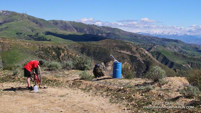
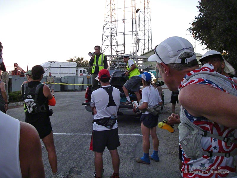
Fifteen minutes later I was a happy runner; drinking cola, getting a bottle filled with ice and water, and kidding around with the aid station volunteers from Bear Valley Search & Rescue. They were outstanding — as were all the volunteers!


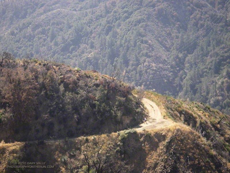
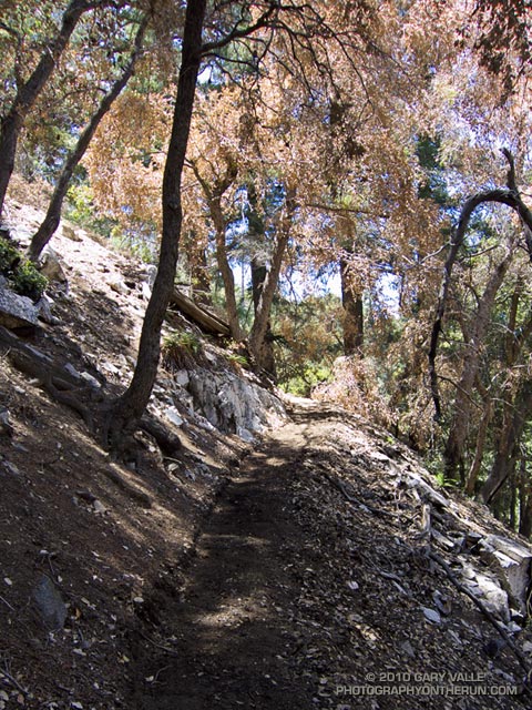
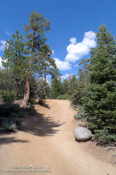
After thanking everybody for being there, I turned onto the PCT and started to jog up the trail. Even though more than 5 miles remained — more than half of it uphill — it felt good to be on the last leg of the race and headed for the finish line!

Congrats to the overall winners Jorge Pacheco (4:20:13) and Vanessa Jones (5:45:16) and to all the runners that participated in the race. This year the median time (half the runners above, half below) was about 7:38:00.

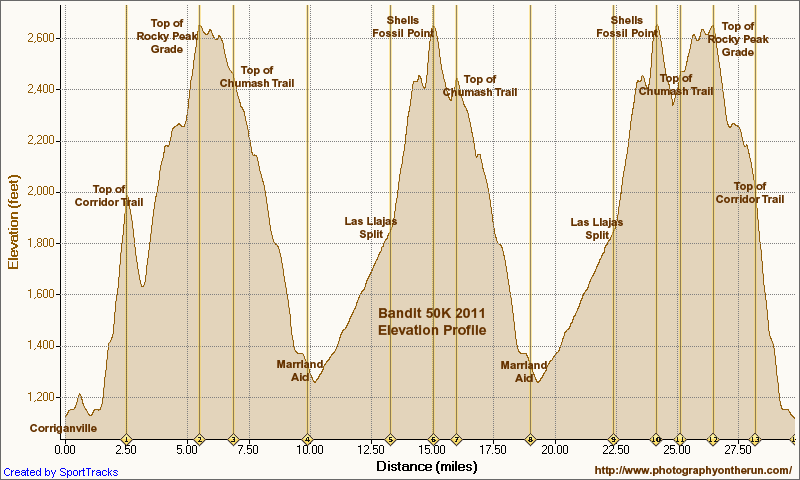
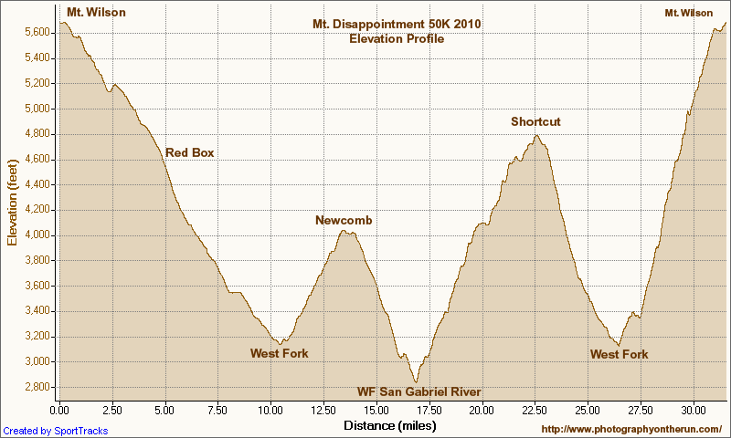
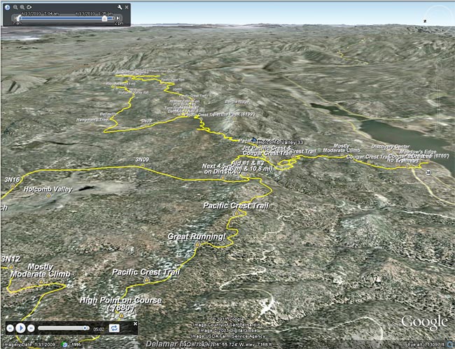
Here’s an interactive Google Earth flyover of the course that can be viewed in most browsers. (Google Earth plugin required.) Distances specified are based on my GPS trace from last year, and were calculated in SportTracks. Distances and placemark locations should be considered approximate. Here’s an elevation profile from last year’s post about the race.

Many thanks to Gary and Pam Kalina, Bear Valley Search & Rescue, the sponsors, and all the volunteers for a great race! For additional info see the Holcomb Valley Trail Runs web site.

Related post: Holcomb Valley 33 Mile Trail Run 2010

Bandit 50K 2011 Notes

50K runners climbing up Rocky Peak road.

50K Runners Returning from the Rocky Peak Trailhead

Cool temps, clearing skies, and snowy vistas greeted runners doing the 2011 edition of the Bandit trail races at Corriganville Park in Simi Valley, California.

If you’re going to have a trail race after a rainstorm, Rocky Peak is the place to do it. Rain gauges in the area recorded as much as two inches of rain in the 48 hours leading up to the race, and for a while it looked like there might be a dusting of snow on the highest points of the course. Except for a couple of short muddy sections, and having to dodge a few mud puddles, the dirt roads and trails were in good shape.

This year the race was expanded to include a 50K. This new option doubled the fun on the Chumash-Las Llajas loop of the 30K course, running the loop twice, and also took a short sightseeing trip down to the Rocky Peak trailhead at Santa Susana Pass. The 30K course was the same as last year, but the 15K course was shortened from last year’s 16K or so to 15K.


The 50K course is a tough one, including about 7 miles of technical single track trail, 22 miles of fire road, and a mile of paved road. The elevation gain/loss is about 5400′, which is a little more than the Bulldog 50K course, and a little less than the original Mt. Disappointment 50K course. Here’s an elevation profile of the Bandit 50K course.

There are several difficult stretches on the 50K course. Just a mile into the race runners have to deal with a very steep climb — an 800 foot ascent in just one mile. In my mind it’s the most important mile on the course, and how hard you push here can have a big effect on how you feel over the next 28 miles! There are a couple of other long climbs. The 2.3 mile climb from the Rocky Peak trailhead to the top of the Rocky Peak grade gains over 1000′, and the gain over the 1.75 miles from the Las Llajas split to the highpoint at Shells/Fossil Point is 800′. Runners doing the 50K get to do the Las Llajas to Shells climb twice.


One of the toughest sections for me was the run up Las Llajas Canyon on the second Chumash-Las Llajas loop. This section starts at about mile 19 and ends at the Las Llajas split, where the road forks right and up through the oil fields. For the most part the grade is not steep, but the miles are deceptively long and grueling. Also tough on tired legs is the very technical plunge back down to Corriganville at the end of the race.

Congrats to 50K winners Chris Price and Nancy Ishizawa. Clearly enjoying the day, Chris flew through course in a remarkable time of 4:12:51, averaging 8:28 minute miles. In the 30K Marcelo Mejia set a new course record with a blazing time of 2:52:31. On a slightly shorter course than last year, Fernando Ramirez and Jen Todd put down fast 15K times. For all the results and race photos, see the Bandit web site.

All in all it was fantastic day for a run! Many thanks to the race organizers — Randy & Sarita Shoemaker, Larry Lee, and Todd Baker — and all the volunteers and sponsors for an outstanding event!

Here are a few additional photos. Click for a larger image and description:


Start of 800′ Corriganville Climb


Running Up from Rocky Peak Trailhead


Snow on Ventura Mountains


15K Runner Headed Back


Descending Chumash


Casey’s Water Cache

Bulldog 50K 2010 Notes

Goat Buttes and the Bulldog Climb from Near the Start of the Bulldog 50K

Goat Buttes and the Bulldog Climb from Near the Start

The week following the Mt. Disappointment 50K, with the Edison and Kenyon Devore climbs still etched in my mind, I noticed that the Bulldog 50K hadn’t filled yet. Hmmm… Could I do it? The little hill on my Wednesday afternoon run hadn’t felt bad. Thursday I had done a little longer run, with a little longer hill. It was no Bulldog climb, but it felt OK. I decided that if the 50K didn’t fill by Friday, and the weather forecast for the race wasn’t crazy hot, I’d give the Bulldog 50K a go.

Malibu Creek State Park is only about 20 minutes from my home, and I run the Bulldog loop frequently, but because of scheduling conflicts I’m usually unable to run the Bulldog 50K. It often falls on the same weekend as the Miracle Hot Springs Whitewater Slalom race, and just two weeks after the Mt. Disappointment 50K. This year, because of a good “El Nino” snowpack, the paddling season on the Lower Kern was going to be longer than usual, and the Miracle Race was moved to late September. But had my legs recovered enough from Mt. Dis?

Friday the 50K hadn’t filled, the weather forecast looked OK, my legs seemed to be OK, so click-click enter, click-click enter, and I was doing Bulldog.

As the week before the race progressed it became evident a) my legs were not as recovered as I had hoped, and b) race day temps were going to be a little warmer than originally forecast. The RD’s day-before-the-race email confirmed the warmer weather:

“IT WAS 82 DEGREES AND NO CLOUD COVER AT 8:30AM THIS MORNING AT THE PARK. BE PREPARED FOR HIGH TEMPERATURES AND FULL SUN ON RACE DAY TOMORROW… NSD”

Race day dawned coolish, but there was not a cloud in the sky. (Last year there had been cloud cover until around 11:00 a.m.) At the Malibu Hills weather station, the temperature at 6:00 a.m was 71°. By 8:00 it would be 80°, and by 9:00 84°. It would be even warmer in the direct sun.

Whatever the thermometer said, the temperature on the first loop wasn’t an issue. There were a couple of warm spots on the Bulldog climb, but there was also a lot of shade. Bulldog was actually pretty painless, and I commented to another runner that I wished it would be like that the second time around!

The last time I’d done the Bulldog 50K was in 2003. Back then the course wasn’t a double loop. There are pros and cons to the double loop format. Sometimes it helps to know what’s coming, and sometimes it doesn’t. It depends on what kind of day you’re having. This morning the first 25K had gone well, and as I jogged under the oaks along Malibu Creek at the beginning of the second loop, I thought maybe, just maybe, my legs would last.

It was about half-way up the Bulldog climb the second time that reality set in. The sun was 3 hours warmer, the climb longer, and gravity (for sure) stronger. I overheard another runner remark, “from here there’s no more shade.” And there wasn’t.

From the top of Bulldog it’s less than a mile of downhill to the Corral aid station. My mind liked the idea of running downhill, but after all the miles of uphill my legs were having trouble with the transition, and were getting a little crampy. It probably wasn’t a coincidence that this was also the point where I started to run out of gas. Not a full-on bonk, but there wasn’t much left in the tank.

The parts of the course I enjoy the most — running through the rock formations east of the Corral aid station, and the panoramic views of the ocean and mountains from Mesa Peak fire road — were a bit of a struggle. It helped to talk with some of the runners along the way. There were new runners, old runners, fast runners, and slow. Every runner has a different story, perspective and challenge.

Eventually I reached the start of the long, sometimes steep, downhill to Tapia Park. On the way down, one runner that passed me commented, “I was looking forward to this section, I didn’t expect it to be so hard!” No argument there. After cooling off at the Tapia aid station, it was on to another tough part of the course. I was prepared for the Tapia Spur Trail to be an oven, but a nice breeze kept the temperature reasonable.


I had been warned that the final little climb up the paved road and around to the finish would be a killer. It was a long, long half mile, and at one point I wondered if the course might continue past the entrance station and out of the park! A couple minutes later I was across the finish line. And about a minute after that I was eating a big chunk of ice cold watermelon!

Many thanks to R.D. Nancy Shura-Dervin and Larry Dervin, all the volunteers, sponsors, support personnel, and runners for a great race. The aid station volunteers were fantastic. All I had to do was soak my head in ice water while my bottles were being filled!  For Nancy’s race report, all the results, and 2000+ photos, see the Trail Run Events web site.

Mt. Disappointment 50K 2010 Notes

Mt. Disappointment 50K 2010

Note: The Mt. Disappointment Endurance Run is now the Angeles National Forest Trail Race.

The most remarkable thing about this year’s Mt. Disappointment Endurance run is that there was a 2010 race. The Station Fire and heavy Winter rains decimated the San Gabriel Mountains. Without the hard work and dedication of Gary & Pam Hilliard and a host of volunteers the 6th edition of the race never would have happened.


There were some changes in the course. After descending from Mt. Wilson to Red Box, the 50K course normally goes down to Clear Creek Station, circuits Strawberry Peak, and then returns to Red Box. Not this year. The Colby Canyon and Strawberry Trails were particularly hard hit by rock slides and washouts, and could not be used.  Instead, after running down to Red Box, we hung a right and continued down Red Box Road to the West Fork aid station. Usually done after mile 20, it was great to run this segment while it was still cool, and I had some life left in my legs.

At West Fork, after ten miles of downhill and losing 2600′ in elevation, the infamous 16 mile Shortcut loop begins. Usually part of the Mt. Dis 50 mile course, the Shortcut loop is best known for it’s scorching 5.6 mile, 2000′ climb up Edison Road to Shortcut Saddle. It’s one of those climbs that doesn’t look that bad on paper, but a topo map doesn’t show the sun beating down on your head mile, after mile, after mile. Fortunately, the weather was kind. The high on Mt. Wilson only reached 73 degrees — several degrees cooler than the usual temperature for this race.


Wow, the Edison climb and the Kenyon Devore climb all in one 50K! But what are two classic climbs without a tough descent in between? The Silver Moccasin Trail between Shortcut and West Fork was obliterated by slides, debris flows and flash flooding. Hours and hours of work were done on the trail to make it passable. In the lower half of the canyon, flooding and debris flows widened the streambed, making it difficult to connect the remnants of old trail into a recognizable path. The challenge wasn’t staying on the course, it was very well marked, but trying to pick the best route through a maze of sand, stream, cobble, and bits and pieces of the old trail.

Then came the Kenyon Devore climb.  After doing 10 miles of fast-paced downhill, the Edison climb, and the Silver Moccasin rock dance, the ascent of Kenyon Devore was not easy! But it never is! There were a couple of newly fallen trees to clamber over, and some other challenges, but all-in-all it was the same classic climb.


To borrow an old rock climbing quip, an endurance run “ain’t no weenie roast,” and this year the Mt. Disappointment 50K was just a bit  more of a challenge. Here’s an elevation profile, and a Cesium browser View of a GPS trace of the course. In SportTracks my trace of the course worked out to about 31.6 miles. This is a mile or so shorter than the web site mileage because Mueller Tunnel was closed and we skipped the Mt. Disappointment section. The mileages in the Google Earth view are from my trace of the course, and may not be accurate.

Congrats to the overall Men’s and Women’s winners Patrick Sweeny (4:40:46) and Sada Crawford (5:28:17). Patrick ran the race in Vibram Five Finger KSO Trek’s. Check out all the results on the Mt. Disappointment web site!

Here are a few photos. Click for a larger image and description:


Trail Work and Tree Rings

Trail work on the Kenyon Devore Trail after the Station Fire.

Last year’s Station Fire, and the Winter storms that followed, combined to damage many miles of trail in the San Gabriel Mountains. Among the volunteers working hard to restore the trails are runners that will doing the Mt. Disappointment 50K and Angeles Crest 100 mile endurance runs later this Summer.

Gary Hilliard, trail maestro and R.D. of the Mt. Disappointment runs, dedicates an astonishing amount of time to the task of preserving trails — encouraging and organizing volunteers, surveying trails, and doing the down and dirty work of maintenance and restoration. If it’s a Summer Saturday, chances are good you’ll find him in Angeles National Forest, working with a group of runners to make a trail better.


Today’s trail was the Kenyon DeVore Trail on the north side of Mt. Wilson. Originally a part of the Rattlesnake Trail, the trail was renamed in tribute to the Forest Service patrolman, hydrographer, and Angeles National Forest volunteer, Kenyon DeVore. The trail is the toughest part of infamous final leg of the Mt. Disappointment 50K and 50 mile courses, climbing about 2300′ in 3.6 miles.

There was plenty to do on the Kenyon DeVore Trail, and Gary divided us into three groups. One group was given the job of restoring a long stretch of trail that had been obliterated by debris flows, and another group was assigned the chore of clearing a rock slide. Our group’s task was removing several trees that had fallen across the trail, and working on the trail along the way.


The largest of the trees blocking the trail was a sizable bigcone Douglas-fir. At the point where it was cut, the diameter of the trunk was about 26″-28″. For its size, the tree was surprisingly old. A rough count of the rings from a contrast enhanced photo gives an approximate age of 310 years. The age was not cross dated, but appeared reasonable when compared to a standard tree ring chronology.

The cut sections of the tree had no obvious fire scars. The CDF/FRAP Fire History Database indicated that, prior to the Station Fire, a large part of the canyon in which the tree was located had no reported fire history.

When we were done, about two-thirds of the Kenyon Devore Trail had been restored. No worries about the other third, Gary has trailwork scheduled most weekends through the end of July.

Holcomb Valley 33 Mile Trail Run 2010

Jeffrey pine on the Cougar Crest Trail, near Big Bear Lake.

At aid station #2 we turned onto the Pacific Crest Trail, and followed the smooth single-track through a serene Jeffrey pine forest on the north slopes of Delamar Mountain. It was a little chilly and breezy at 7800′, and the strong June sun felt good on my bare arms. I was at about mile 9 of the Holcomb Valley 33 Mile Trail Run and all was good. The subtle vanilla scent of the pines wafted through the trees, and here and there bright yellow blossoms of western wallflower seemed to mark the way.

Rounding a corner, a pine framed image of Big Bear Lake and snow covered San Gorgonio popped into view. Behind me, a runner exclaimed, “Gorgeous!” As she passed, she commented, “This is my favorite race!” And I can see why. Not only is the race well organized, with great aid stations and super helpful volunteers, it challenges the runner with a unique mix of terrain and altitude.


Some stretches of the course are smooth and fast, some technical, and some downright gnarly. Most of the hills are not steep — at least by sea level standards — and the total elevation gain/loss is only about 3600′. But the gotcha is this: the course has the highest average elevation of any 50K race in Southern California, including the Bishop High Sierra 50K! Nearly 30 miles of the course is above 7000′, and the altitude has an unavoidable effect on performance, particularly for the unacclimatized, middle-of-the-pack runner.

How much of an effect? There is an often referenced chart in the book the Daniels Running Formula that can be used to estimate how much slower we will run at a particular altitude. Using an online running calculator based on the chart, we can project that a runner that does a 33 mile course at an elevation of 1000′ in 6.5 hours would take about 7 hours at 7500′ — assuming the runner is fully acclimatized! In the book, Daniels says that the increase in time could be as much as double for an unacclimatized runner. So 33 miles in 6.5 hours near sea level might turn into 7.5 hours at 7500′.

At altitude, elite runners have an advantage — even more of an advantage than they have at lower elevations. Because of the reduction in air density and drag, running at altitude at their faster pace is more efficient than near sea level. This partially offsets the loss in aerobic power that results from the reduction in atmospheric pressure. Again using the Runworks calculator, a runner that runs 33 miles in 4 hours at 1000′, would be projected to run about 4:18:00 at 7500′.


Apparently immune to the altitude, and flowing over the rocky sections of trail like the wind, Michelle Barton and Jorge Pacheco set new records on the Holcomb course this year. Michelle Barton flew through the 33 mile course in 4:56:21 (8:59 min/mi), and Jorge Pacheco cranked out an amazing 4:13:44 (7:41 min/mi). To put those times in perspective, this year the median time (half the runners above, half below) was  about 7:36:00.

Here is a Cesium ion interactive view of my GPS trace of the 33.1 mile course, and an elevation profile generated in SportTracks. Distances specified are based on the trace, and were calculated in SportTracks. During the race the only segment that seemed significantly longer than expected was from aid station #4 to aid station #5. Part of the reason is it was a tough leg, and has some very rocky stretches. But it also looks like the segment was about 7 miles long, rather than the expected 5.9 miles.

Many thanks to Pam and Gary Kalina, Bear Valley Search & Rescue, the sponsors, and all the volunteers for a great race! All the results can be found on the Holcomb Valley Trail Runs web site.