Category Archives: trails|smmc open space

Coyote Tag II

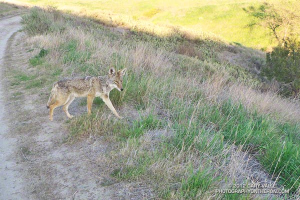
Close encounter with coyote at Ahmanson Ranch.

Last June I had an unusual encounter with a coyote near the end of a run at Ahmanson Ranch (Upper Las Virgenes Canyon Open Space Preserve). For reasons known only to the coyote, the animal behaved like a dog and ran with me a short distance along a dirt road. Not off to the side of the road, or at a distance, but as if on lead and out for a daily jaunt. Today, on the same section of road, I had another odd encounter with a coyote.

This time I rounded a corner to see a coyote calmly trotting down the middle of the dirt road toward me. No big deal, it would do what a coyote normally does — see me and head for the brush. Except it didn’t. This time it continued to trot in my direction. Fifty, thirty, twenty feet — the gap between us closed. Watching each other intently, we stopped about 12 feet apart.
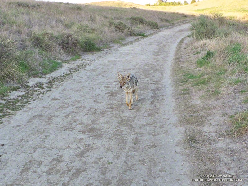
Brash coyote behavior at Ahmanson Ranch
Coyote walking toward me

For a few moments we stared at each other, my expression no doubt showing the same mix of wariness and curiosity as the coyote’s. In the practiced motion of something wild, the coyote briefly raised its head, sampling scents of its world on the wind. I edged closer — not daring to raise my camera, but taking the occasional photo.

A few more seconds passed, then apparently deciding enough was enough, the animal sauntered into the grass.

Coyotes are opportunists and I’m guessing these close encounters are related to an association of people with food — perhaps discarded food or food intentionally provided. Coyotes also associate people with their pets. Recently I saw a pair of coyotes behaving oddly (also at Ahmanson) and nearby an individual was walking their small dog off lead.

Some related posts: Coyote Tag, Trickster

Clouds, But Not Much Rain in Los Angeles

Running up to Lasky Mesa

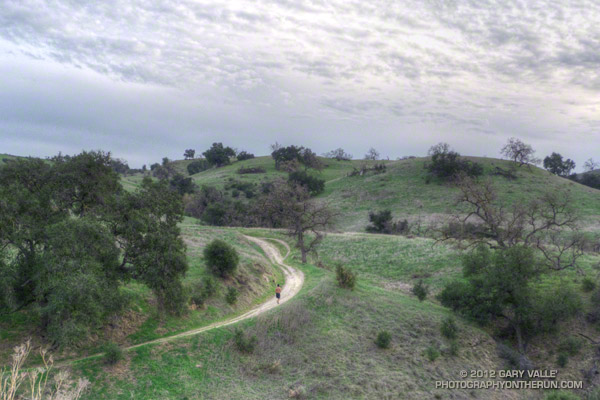
The Cheeseboro RAWS, a couple of miles west of where this photograph was taken, is usually a good indicator of the weather in the Ahmanson Ranch area. The automated weather station recorded a paltry 0.01 inch of rain Tuesday. While this was enough to dampen the trails and create a little mud, it didn’t help much with our low water year precipitation totals.

Downtown Los Angeles (USC) also recorded 0.01 inch of rain Tuesday, bringing the water year (July 1 to June 30) total to 5.07 inches, or about 60% of normal. Some areas have had a little more rain and some a lot less. According to NWS data the Santa Barbara water year rainfall total stands at about 69% of normal, while Burbank out in the Valley has recorded only about 44% of the normal amount of rain.

Central California isn’t doing any better. Downtown San Francisco has only recorded about 42% of normal rainfall and Sacramento 45% of normal. In the first full Sierra snow survey of the season, basin averages ranged from about 28% to 54% of the normal snowpack, with a statewide weighted average of 35%.

The medium range weather models are forecasting a series of shortwave troughs will move through Southern California over the next 10 days. At the moment the systems aren’t forecast to produce much rain in the Los Angeles, but maybe that will change. We’ll see!

The photograph is from a run last week. The road leads up to Lasky Mesa in Upper Las Virgenes Canyon Open Space Preserve (formerly Ahmanson Ranch).

Circle X Crags and the Channel Islands

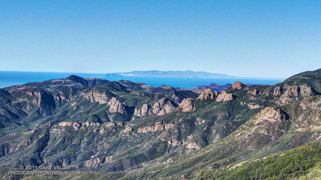
Crags in the Circle X area and the Channel Islands from the Etz Meloy section of the Backbone Trail

The view above is of crags in the Circle X area and the Channel Islands from the Etz Meloy section of the Backbone Trail in the Santa Monica Mountains.

From today’s out and back run on the Backbone Trail from Kanan Road to a viewpoint on Etz Meloy Mtwy fire road. The fire road continues west about a mile and links to the Yerba Buena segment of the Backbone Trail.

The segment between Kanan Road and Yerba Buena Road includes the two remaining gaps in the Backbone Trail — the 0.1 mile Etz Meloy gap and the 0.4 mile Upper Trancas gap.

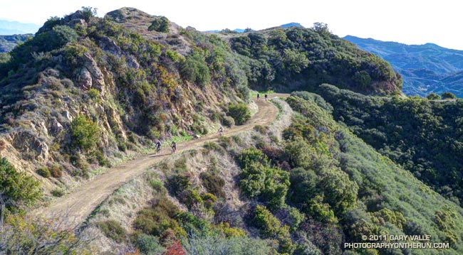
Here are a few additional photographs from the run:


Etz Meloy Motorway


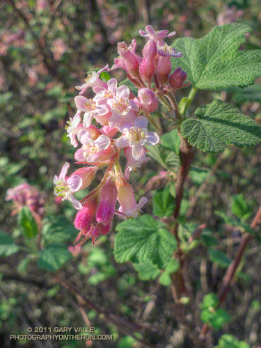
Chaparral Currant


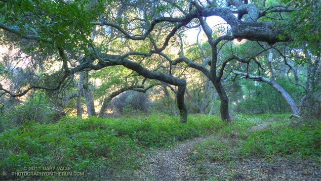
Oak Grove

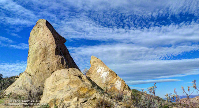
Rocks & Clouds Along Edison Road

In this case the Edison Road is in Upper Las Virgenes Canyon Open Space Preserve.

From this morning’s run of the Upper Las Virgenes Canyon – Cheeseboro Ridge Loop. This Park Service PDF includes a map of the area, and this interactive Cesium browser View shows the route.