Category Archives: weather

Chumash Trail Green

Chumash Trail in Simi Valley

It’s now been 17 days since there’s been measurable rain at Downtown Los Angeles (USC). A trace of rain was recorded on a couple of days, but for the time being a big blocking ridge has shut the door on Pacific precipitation.

So far this January, only 0.58 of rain has been recorded, which is a little less than one-third of normal for the month. However, because of our frequent December storms the water year total at Los Angeles is currently about double the normal amount — and why open space areas of Southern California have turned so lush and green.

Bandit Training

Top of the Wildlife Corridor Trail

What a difference 5 days makes! In the cold morning shadows before the start of the Boney Mountain race last Sunday, the dew on the fences was frozen and frost was everywhere. This morning in Corriganville Park the temperature was a balmy 65 or so, and the high was expected to be around eighty.

Today I was running the Bandit 30K course as part of a training run organized by Bandit 15K/30K/50K R.D. Randy Shoemaker. Good thing too. Even though these are my backyard trails, it reminded me just how tough these courses are. The numbers — about 3300 ft. of gain/loss over 19.5 miles for the 30K — don’t tell the whole story.


The title photograph is of runners at the top of the Wildlife Corridor Trail. This gnarly trail links Corriganville Park to Rocky Peak Road, and it is just one of the special treats you’ll encounter on the 15K, 30K and 50K courses. I don’t know if it tougher going up, when your legs are fresh; or going down, when your legs are worked. From personal experience I know it is really easy to push too hard on this climb, and mutter to yourself, “Why did I do that?” for the remainder of the race.

Today, the conditions could not have been better. Well, if we’re going to nitpick, maybe a little less wind. But who can complain on a January day when skies are blue, the hills are green, and the temperature is in the seventies?

Mammatus Clouds Over the San Fernando Valley

Mammatus Clouds Over the San Fernando Valley

These rare clouds — a mid-level form of mammatus — were over the western San Fernando Valley last Thursday afternoon, January 6, 2011. They were produced by the moisture and dynamics associated with a closed upper level low that was about 390 miles WSW of Los Angeles, and moving ENE at about 17 mph.

I first noticed the mammatus clouds around 3:30 p.m. About 30 minutes later, when I started my trail run in the Simi Hills, the cloud band had shifted a couple of miles to the WNW, but the mammatus was still present. The title photograph was taken just a few minutes into the run, at about 4:07. This uncropped version of the image shows the clouds in relation to the terrain.


The mammatus was in the leading band of a series of cloud bands slowly moving from the ESE to the WNW. Over the next 30 minutes the mammatus mostly dissipated, as the cloud band became disrupted by shear. During this period the bands evolved into a wave-like sequence of bulbous clouds that had some of the characteristics of mammatus, but were not multi-lobed. The bases of these clouds were ragged — an indication that snow showers were sublimating in the dry air below. The photograph of the cloud sequence was taken at about 4:37 p.m. Some remnants of mammatus could still be seen in the sheared leading band.

The circumstances in which mammatus is observed and some possible mechanisms for its formation are discussed in the 2006 paper, The Mysteries of Mammatus Clouds: Observations and Formation Mechanisms by David M. Schultz, et al.

Based on a NAM analysis for Van Nuys and NKX (San Diego, CA) sounding, the atmospheric profile was consistent with real-time soundings when mammatus is present. A BUFKIT model sounding based on NAM data for 4:00 p.m., shows a moist layer from about 14,000 ft. to 23,000 ft., with a dry subcloud layer. The freezing level was indicated at about 8500 ft. A plot of vorticity from NAM data indicated a vorticity lobe in the area at the time the clouds were observed. As can be seen in both photographs, there was also strong shear between 20,000 ft. and 25,000 ft. A superadiabatic subcloud layer is not present in the soundings, but cooling from subcloud evaporation or sublimation might create one.

The photograph in the post Simi Hills to the San Gabriel Mountains was also taken on this trail run.

Departing Storm

Departing Storm

As skies cleared Monday afternoon, we thought we had put a wrap on the wet weather — at least for a while. But the Sunday-Monday system left a cutoff upper low spinning off the coast of Southern California, and as that low moves east over the next couple of days it could produce some showers.

That’s the way it’s been this rain season. Looking back through NWS rainfall data, since October 1 we’ve gone no more than 10 days at a stretch without measurable rain at Downtown Los Angeles (USC).

Even if our weather becomes more typical of what occurs during a La Nina episode, 81% of our normal annual rainfall is already in the bucket. To have an average year all we need is 2.86 inches between now and June 31. Downtown Los Angeles normally records about two-thirds of its annual rainfall in the months of January, February and March — around 10 inches — so (theoretically) 2.86 inches shouldn’t be hard to do. But we’ll see!

The title photograph is from a run in the Simi Hills on Monday.

Las Virgenes Creek Near the Sheep Corral Trail

Upper Las Virgenes Creek

At the start of my run East Las Virgenes Canyon was deep in shadow, and it was cold, cold, cold. At least by Southern California standards. But it would be warm enough, soon enough, and being a little chilly now would make the sun feel even better when I escaped from the canyon. The good news was the temperature was near freezing, and the muddy sections of dirt road in the canyon were mostly frozen.

I was doing a run I often do before a race, or when I want to back off the distance and elevation gain a bit — a 13 mile route from the Victory trailhead at Ahmanson Ranch, through Cheeseboro Canyon. The route starts the same as the run to Simi Peak, but when you get to Shepherds Flat, you turn left (south) down Cheeseboro Canyon.


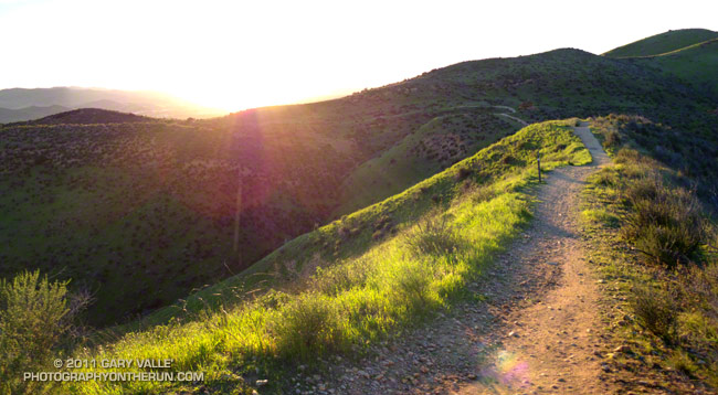
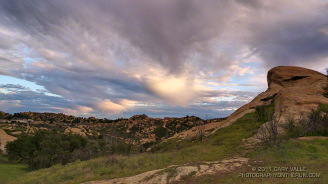
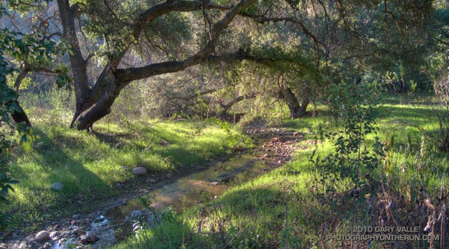
Picking up the pace to try and generate some warmth, it took about 30 minutes to get to Las Virgenes Canyon. In another 15 minutes or so, I had forked left off the dirt road onto the Sheep Corral Trail. This singletrack trail meanders through live oaks along upper Las Virgenes Creek before working up and over to Shepherds Flat.

For the first time in several years, this part of Las Virgenes Creek was flowing. The last time it had more than puddles of water was during the record setting El Nino rain season of 2004-2005. That year Downtown Los Angeles recorded more than twice it’s normal amount of rainfall.

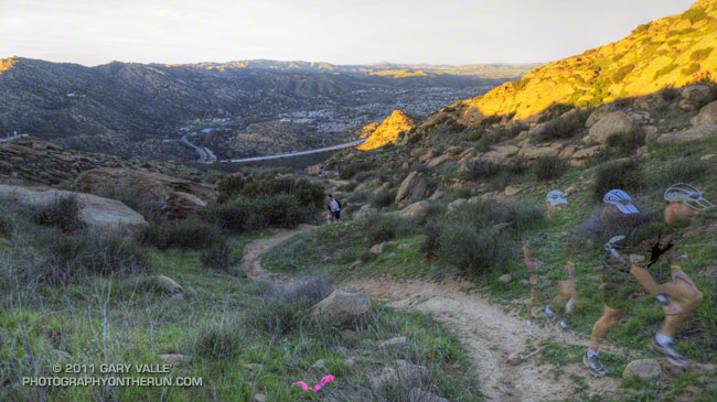
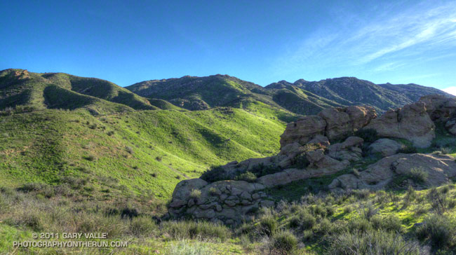
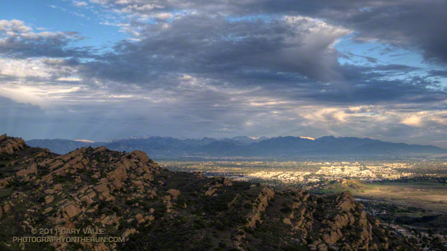
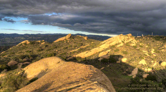
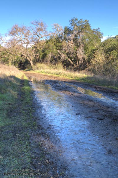
At the six mile point I reached the junction at Shepherds Flat and turned onto the Sulfur Springs Trail. With the exception of one very wet section, Cheeseboro Canyon was mostly in good shape. There was still some ice on the mud puddles in the lower part of the canyon.

Keeping my shoes mostly dry and mud free had become kind of a game, but a game I was destined to lose. When mud thaws it becomes incredibly sticky, and that happened on the connector that links Cheeseboro Canyon to Las Virgenes Canyon. It was like running in 5 lb. Hokas.

The worst of the unavoidable mud ended at Las Virgenes Canyon, and after another 30 minutes or so of dodging mud puddles, I was back at the Victory trailhead. It was a fun run and a great way to start the New Year.