La Nina Fades as SoCal Rain Season Nears End

Sun-parched mustard leaf at Ahmanson Ranch.

It’s been late February since Southern California has had a good soaking rain. As of May 1, the water year rainfall total for Downtown Los Angeles (USC) stands at 13.42 inches. This is 90% of the 1921-2006 average of 14.87 inches. According to the NWS 1921-2006 dataset, the average amount of precipitation in May and June is 0.3 inch and 0.1 inch, respectively. We’ll see if we get that much this year!

La Niña appears to be winding down.  In it’s April 30 ENSO Wrap-Up, the Australian Bureau of Meteorology characterizes Pacific climate patterns as being generally neutral, “with the majority of indicators returning to near-normal levels.” The April 28 ENSO Update from the CPC suggests that La Niña will continue through May-July 2008, but many of the factors discussed indicate general weakening of La Niña. Based on the ONI and MEI, La Nina conditions have existed since about August of 2007.

The photograph of the sun-parched mustard leaf is from a run at Ahmanson Ranch on April 29, 2008.

Google search: $g(la nina), $g(Los Angeles weather)

Scenic Route to Simi Peak

Oaks along the route to Simi Peak.

When the rainy season turns wet and the grasses green, all routes to Simi Peak are scenic, but the varied trails and terrain, and the wilderness feel of the more remote sections of this 21.5 mile run makes it one of my local favorites.

It is a longer variation of the route described in the post Upper Las Virgenes Canyon Backcountry. The run starts at the Victory (or Vanowen, or Las Virgenes) trailhead of Upper Las Virgenes Canyon Open Space Preserve and explores the headwaters of Las Virgenes Creek. At the junction of the power line service road and “backcountry” trail, instead of turning south up the power line service road, this option works west over to Albertson Motorway fire road, and on to China Flat and Simi Peak.

Here’s a Google Earth image and Google Earth KMZ file of a GPS trace of the route.

Southern California 2007-2008 Winter Precipitation Outlook

New grass sprouting amid oaks at Sage Ranch on October 1, 2007

Updated January 10, 2008. The ESRL-PSD Composite ENSO plots page was updated today to correct an issue that resulted in the wrong set of years being used for its Winter La Nina composites. As a result the La Nina composite precipitation map in this post has been updated.

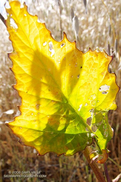
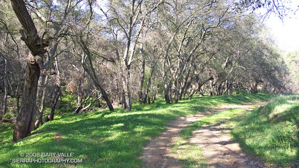
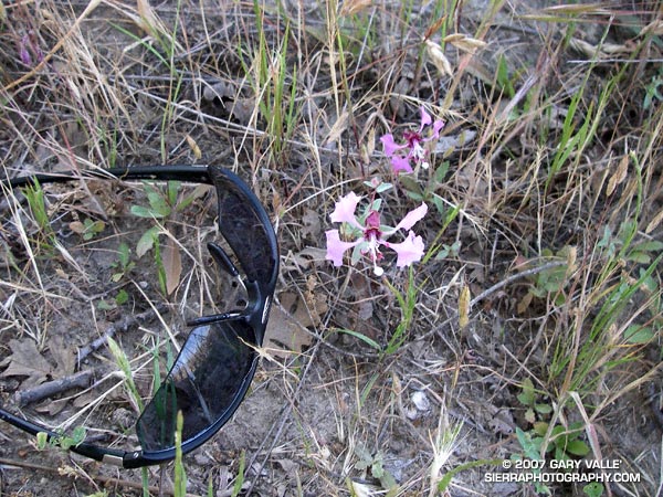
Grasses sprouting as a result of our record setting September rainstorm have brushed our sun parched hills, fields, and woodlands with pleasing hints of green. Whether these areas will remain green depends on how much rain we receive this Fall and Winter.

According to the Climate Prediction Center’s Weekly ENSO Update, issued October 1, La Niña conditions are present across the tropical Pacific and are likely to persist through early 2008. As a result, several longer range U.S. precipitation outlooks are similar to this Nov-Dec-Jan Precipitation Outlook, issued September 20 by the CPC.

The precipitation pattern projected for the western U.S. is typical of a La Niña, with an increased chance of higher than normal precipitation in the Pacific northwest and an increased chance of lower than normal precipitation in the southwest.

The September 20 CPC outlook indicates an “equal chance” of below normal, near normal, or above normal precipitation in the Los Angeles area. However, the La Niña has strengthened recently, so the next precipitation outlook may reflect a more pessimistic projection of Los Angeles area rainfall.

As mentioned above, the ESRL-PSD Composite ENSO plots page was updated today to correct an issue that resulted in the wrong set of years being used for its Winter La Nina composites. This updated precipitation map shows the mean Nov-Mar precipitation for the U.S. during 9 La Niña events from 1948 to the present. Note that the average La Niña rainfall indicated for coastal Southern California is in the 7.0-10.5 inch range, rather than the  10-15 inch range previously indicated in the ESRL-PSD graphic.

The two driest water years recorded in Los Angeles since 1877 have occurred in the last seven years. During the most recent, from Jul 2006 to June 2007, downtown Los Angeles (USC) measured only 3.21 inches of rain. In that context 10-15 inches sounds quite wet! We’ll see.

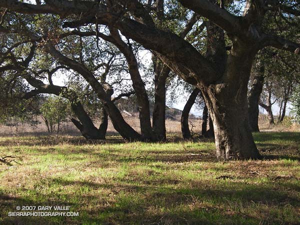
The photograph of new grass sprouting amid oaks is from a run at Sage Ranch on October 1, 2007.

September Storm

Rocky Peak road 

Los Angeles sometimes gets rain in September, but usually it is the result of tropical moisture from a dissipating hurricane, or perhaps the passage of the tail end of a weakening front. It is rare to see a low as cold, deep and energetic as the upper level low that deluged many areas of Los Angeles county Friday afternoon into Saturday.

Thunderstorms raked the San Fernando Valley Friday night, and several locations in and around the Valley recorded more than an inch of rain over the course of the storm. Los Angeles set a new rainfall record on Saturday, recording 0.40 inch of rain, and rainfall records were broken across the area.

In Southern California the first rain of the season often doesn’t occur until October or November and is always savored. Especially this year, when Los Angeles has recorded only 3.21 inches of rain in the last 15 or 16 months, and a developing La Nina threatens to put the kibosh on Winter rain.

I celebrated the rain by doing an out and back run to “Fossil Point” on Rocky Peak fire road. Based on the size of the mud puddles on the dirt road, this unseasonable storm appeared to be wetter than any in last year’s record dry rain season. Here’s a panorama of the view northwest from the fire road to Oak Ridge, the Santa Susana Mountains and beyond.

Some related posts: San Fernando Valley from Rocky Peak, Rainy Morning on Rocky Peak Road.

Rain Gauge

The stalk height of Elegant Clarkia (Clarkia unguiculata) is a good indicator of seasonal rainfall.

One of the best indicators of seasonal rainfall I’ve found in the oak woodland and chaparral areas of Southern California in which I run is Elegant Clarkia (Clarkia unguiculata). In a wet year it can grow more than 6 ft. tall. This year it is the shortest I’ve ever observed — about 5 inches in this photo taken near Lasky Mesa.

Related posts: Elegant Clarkia, Dealing With Drought