Trippet Ranch Mule Deer

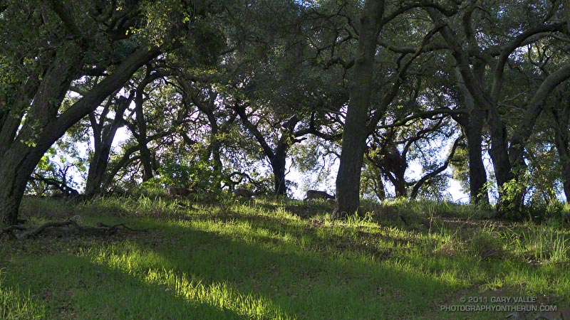
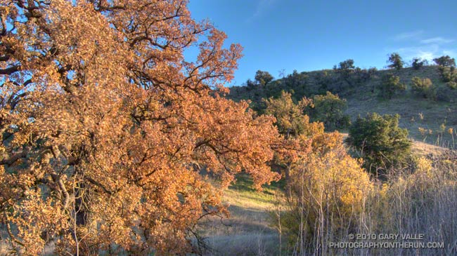
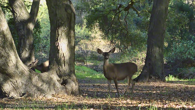
I almost always see mule deer when doing a trail run that passes through Trippet Ranch, especially in the morning. They tend to hang out near the parking lot, the pond, the oaks along East Topanga fire road, and along the Musch and Dead Horse trails.

Sunday several doe were grazing about five feet from the parking lot, and barely took notice as I (slowly) ran past. I also saw a buck near the start of the Musch Trail, but he was much more skittish, and strutted into the brush as I ran up the hill from the pond.

Related post: Musch Trail Mule Deer

The Heavenly Ranch in the Hills

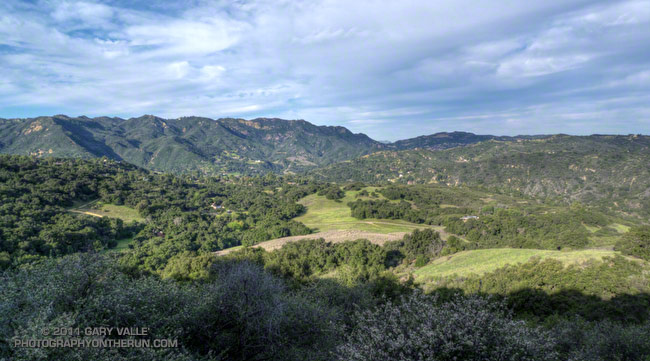
Trippet Ranch from Eagle Springs Fire Road

At one time the homestead of a beekeeper, and later the getaway home of US Judge Oscar A. Trippet, Sr., Trippet Ranch was one of the land purchases associated with the creation of Topanga State Park in the early seventies. Apparently Judge Trippet’s son enjoyed the natural setting of this ranch in the hills, and when he inherited the property, gave it the name “Rancho Las Lomas Celestiales.”


Running through the oaks in the early morning with sunlight filtering through the trees, and mule deer grazing quietly feet from the trail, it’s easy to see how he might have been inspired to give Trippet Ranch such a name.

Today’s run to Trippet Ranch is one of several trail runs I enjoy doing that start at Marvin Braude Mulholland Gateway Park, and end by running the Garapito and Bent Arrow trails. This particular run is a 12.2 mile serpentine route that takes fire roads out to Trippet Ranch, and then single track trails back to Mulholland near the top of Reseda. Here’s an interactive Cesium browser View of a GPS trace of the route.

For more information about the history of Trippet Ranch and Topanga State Park, see the Park History page on the Topanga Canyon Docents web site.

Related post: Garapito Trail Runs

Las Virgenes Creek Near the Sheep Corral Trail

Upper Las Virgenes Creek

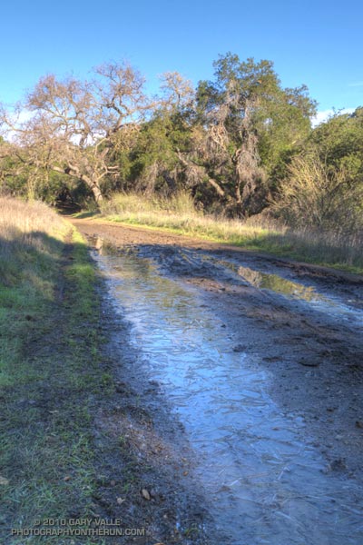
At the start of my run East Las Virgenes Canyon was deep in shadow, and it was cold, cold, cold. At least by Southern California standards. But it would be warm enough, soon enough, and being a little chilly now would make the sun feel even better when I escaped from the canyon. The good news was the temperature was near freezing, and the muddy sections of dirt road in the canyon were mostly frozen.

I was doing a run I often do before a race, or when I want to back off the distance and elevation gain a bit — a 13 mile route from the Victory trailhead at Ahmanson Ranch, through Cheeseboro Canyon. The route starts the same as the run to Simi Peak, but when you get to Shepherds Flat, you turn left (south) down Cheeseboro Canyon.


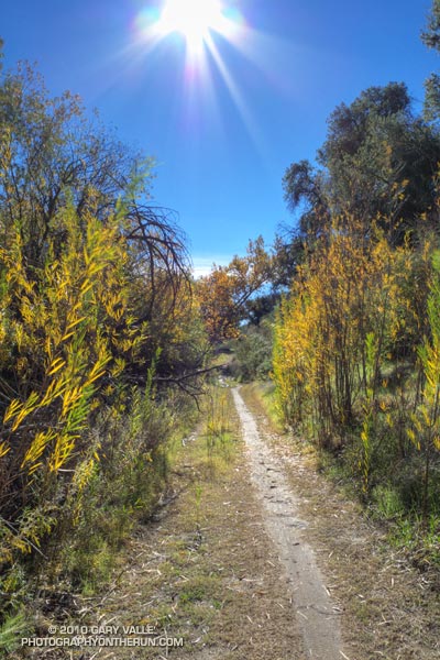
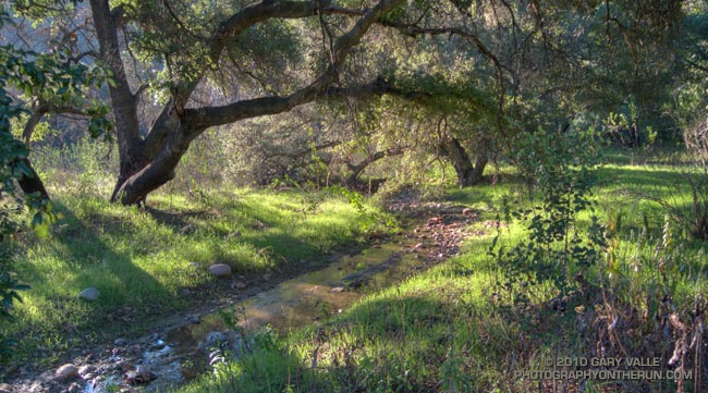
Picking up the pace to try and generate some warmth, it took about 30 minutes to get to Las Virgenes Canyon. In another 15 minutes or so, I had forked left off the dirt road onto the Sheep Corral Trail. This singletrack trail meanders through live oaks along upper Las Virgenes Creek before working up and over to Shepherds Flat.

For the first time in several years, this part of Las Virgenes Creek was flowing. The last time it had more than puddles of water was during the record setting El Nino rain season of 2004-2005. That year Downtown Los Angeles recorded more than twice it’s normal amount of rainfall.

At the six mile point I reached the junction at Shepherds Flat and turned onto the Sulfur Springs Trail. With the exception of one very wet section, Cheeseboro Canyon was mostly in good shape. There was still some ice on the mud puddles in the lower part of the canyon.

Keeping my shoes mostly dry and mud free had become kind of a game, but a game I was destined to lose. When mud thaws it becomes incredibly sticky, and that happened on the connector that links Cheeseboro Canyon to Las Virgenes Canyon. It was like running in 5 lb. Hokas.

The worst of the unavoidable mud ended at Las Virgenes Canyon, and after another 30 minutes or so of dodging mud puddles, I was back at the Victory trailhead. It was a fun run and a great way to start the New Year.
Sunny Sunday

Upper Las Virgenes Canyon

Today was one of those spectacular, sunny, warm December days we relish in Southern California; perfect for just about any outdoor activity. High temperatures were forcast to be in the high 80’s or low 90’s, and temperature records for the date were expected to be broken in many areas. As I ran north in upper Las Virgenes Canyon, I wasn’t sure where, or how far, I was going to run. On such a great day, it really didn’t matter.

Yesterday I’d looked across at Simi Peak while ascending Ladyface, and realized it had been more than a year since I’d run to Simi Peak from the Victory trailhead at Ahmanson Ranch. Rain was forecast the following weekend, so I’d better take advantage of the good weather while I had it! The out and back run to Simi Peak would be a good one.


The most direct route to China Flat and Simi Peak from upper Las Virgenes Canyon road is the Sheep Corral Trail. This singletrack trail forks left (west) from the road where Las Virgenes Canyon splits, initially following the main creek west, rather than the pipeline north. The singletrack is popular with mountain bikers and can be used to connect to the Cheeseboro Ridge and Cheeseboro Canyon trails. Both of theses trails are good options for doing a lollipop loop back to Las Virgenes Canyon.

Today I would continue past Cheeseboro Ridge and Cheeseboro Canyon to the Palo Comado fire road. Palo Comado leads up and over a low pass to an old sheep corral at China Flat. Simi Peak is bit more than a mile west of the corral. It usually takes about 15-20 minutes to run there from the sheep corral.

Here’s an interactive Cesium browser View of a GPS trace of my out and back route.

Some related posts: Simi Peak Out & Back, Scenic Route to Simi Peak, Vernal Pool at China Flat

Long Shadows, Cool Canyons

Valley oak

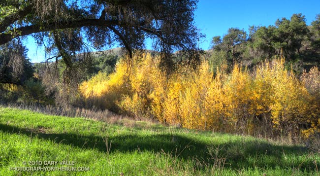
It’s that time of year. Willows and wild walnut trees are showing some Fall color, and the valley oaks are losing their leaves. Even on a warm day, the long shadows, clear skies and low humidity of late Autumn cool the hillsides, generating chilled katabatic flows down gullies and canyons.

As temperatures warmed up this week I took a probe thermometer on my afternoon trail runs at Ahmanson Ranch (Upper Las Virgenes Canyon Open Space Preserve) and measured the temperature of some of these invisible streams.

My general weather data reference for the area is the Cheeseboro Remote Automated Weather Station (RAWS). The high temperature at the Cheeseboro RAWS ranged from 73°F on Tuesday to 75°F Thursday. The temperature in the shade at the Victory trailhead parking lot at the beginning of my runs (around 4:00-4:15) was about 70°F.

Tuesday, the temperature on the road about 1.1 miles from the parking lot, and above East Las Virgenes Canyon was about 69°F. A quarter-mile away, down in the dry streambed, the temperature was a chilly 47°F — a drop of 22°F.

Wednesday, I ran to upper Las Virgenes Canyon. The temperature at a saddle above the canyon was 66°F. Down in the canyon near one of the stream crossings, the temperature was 45°F — a difference of 21°F.

Thursday I ran back to the same point in Las Virgenes Canyon. Even though the high temperature for the day was about the same as Wednesday, the humidity was higher, and there were some high clouds. The katabatic flow was not as well-defined, and the temperature drop was only about 13°F.

Conditions during the week were not especially favorable for hillside radiational cooling, and I expect temperature differences of 30°F might be possible in ideal circumstances. In any case it feels like that in running shorts and a short-sleeve shirt.

Simi Valley Open Space

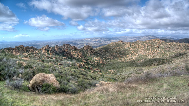
View northwest from Rocky Peak road in Rocky Peak Park.

The view is northwest from Rocky Peak road in Rocky Peak Park. In the distance is Marr Ranch Open Space, Tapo Canyon Regional Park, and Whiteface Open Space. The Ventura Mountains are shrouded in clouds.

From today’s out and back run from Chatsworth Oaks Park, near Chatsworth Reservoir, to “fossil point” on Rocky Peak road.