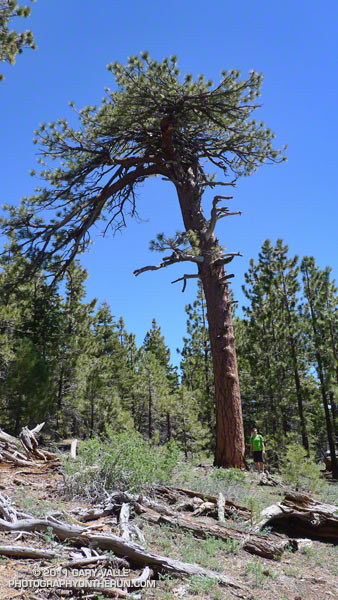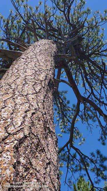
From a hike on the Ritchey Canyon and Redwood Trails in Bothe-Napa Valley State Park. The hike was one of several before-the-wedding activities arranged by Amanda & Brett. (Yep, there was also a trail run.)

From a hike on the Ritchey Canyon and Redwood Trails in Bothe-Napa Valley State Park. The hike was one of several before-the-wedding activities arranged by Amanda & Brett. (Yep, there was also a trail run.)
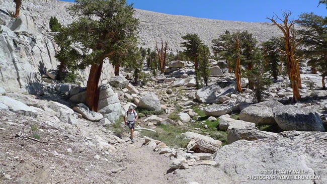
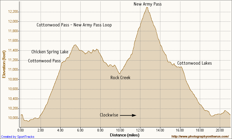
The Cottonwood Pass – New Army Pass loop is a longtime favorite that I try to do at least once a year. There’s nothing quite like running at 11,000′ through a forest of gnarled foxtail pines — some perhaps a thousand years old — then working up a glacier sculpted basin to one of the higher passes on the Sierra crest.
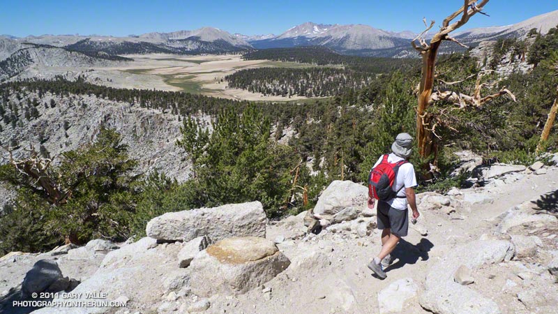
The trail run is the closest high altitude loop to Los Angeles that is almost entirely over 10,000′. Although its 21 mile length and 3400 ‘elevation gain/loss appear relatively moderate from an ultrarunning perspective, keep in mind it is a high mountain run that reaches an elevation of 12,300′, and includes 12 miles that are over 11,000’. Nearly three miles are above tree line. It’s kind of like driving to the top of Mt. Baldy and then starting your run from there.
This year a record-setting snowpack pushed back the date the loop could be done (as a trail run) to late July. I’d hoped to do it two weeks before the Mt. Disappointment 50K, but thunderstorms and flash floods quashed that plan. The next opportunity to do the loop was on Saturday, but once again thunderstorms were in the forecast.
A look at the SWFRS Bald Mountain #5 web cam midday Saturday confirmed the sketchy weather. The camera showed developing clouds from Olancha Peak on the south to New Army Pass, Mt. Langley and Mt. Whitney on the north. We wanted to enjoy the run in short-sleeves and shorts, so postponed the run to today.
And today the weather was perfect! A plus was that Saturday’s rain had dampened the sometimes sandy and dusty trails, improving their condition and refreshing the landscape.
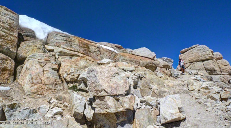
One of the interesting aspects of the run was that patches of snow remained from last Winter’s heavy snowpack. Not only were there patches of snow on New Army Pass, and elsewhere above 12,000′, but there was snow in lower, more exposed locations such as on the southeast-facing slopes above Chicken Spring Lake. Much of this high altitude snow will carryover into this Winter.
Here’s a Cesium browser View and elevation profile of a GPS trace of the loop. The view can be zoomed, tilted, panned, etc. Additional info, a slide show, and more photos are available in previous posts about this loop.
Some related posts: Cottonwood – New Army Pass Trail Run, Cottonwood – New Army Pass Loop, Mt. Langley in a Day from L.A., Climate Change and the Southern Foxtail Pine
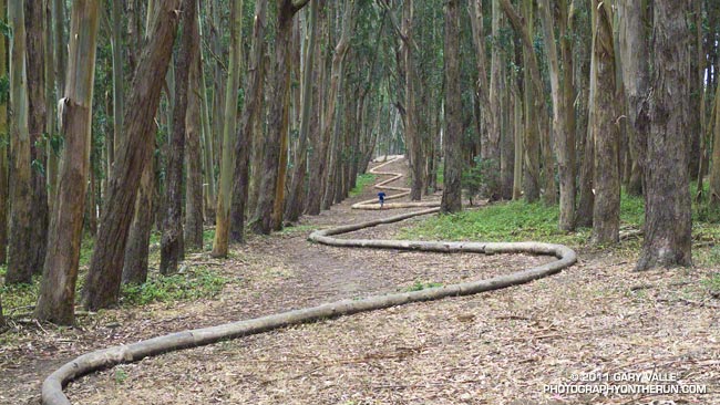
Andy Goldsworthy’s Presidio forest sculpture Wood Line.
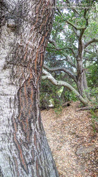
From this morning’s run on the Secret Trail (Calabasas – Cold Creek Trail).
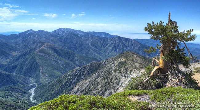
Storm-damaged Lodgepole Pine and Mt. Baldy
I was at the turnaround point of an out and back run from Islip Saddle (6650′) to Mt. Baden-Powell (9,399′), and had descended a short distance down the south ridge of Baden-Powell to enjoy the ridge top view. It had been a good run so far. It was windier and cooler than expected, but that was a good thing. Temps in the valleys were forecast to top 100 degrees today.
I’d been surprised to find no snow on Baden-Powell. In good snow years, remnants of snow will typically last until at least the 4th of July. There was a patch here and there last year, and sizeable drifts in 2005. This year a little remained on the north face of Mt. Baldy, but that was it.
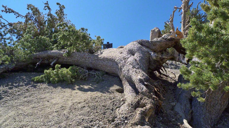
Even if no snow remained, there was evidence it had been a tough winter. It looked like an unusually severe ice storm had struck the area. Normally resistant to such damage, a stout lodgepole pine had had two of its limbs ripped from its trunk, peeling away a thick layer of bark and cambium. On the other side of the peak, near the Wally Waldron tree, an apparently healthy limber pine had collapsed.
If I had been surprised to find no snow on Baden-Powell, I was even more surprised to find no one on the summit. That wouldn’t last. A number of hikers were working their way toward the peak from Islip Saddle and Dawson Saddle, and I was sure others were on the way up from Vincent Gap.
After visiting the Wally Waldron tree, and chatting briefly with a hiker, I turned eastward on the PCT — next stop Throop Peak!
Some related posts: Islip Saddle – Mt. Baden-Powell Out & Back, Running Hot & Cold
