Category Archives: photography|landscape

Point Reyes: Sky Trail Keyhole Loop

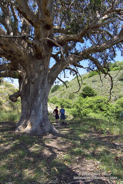
Sprawling eucalyptus on the Coast Trail, near the Sky Trail junction, in Pt. Reyes National Seashore.

Like an Ent, of Tolkien’s Middle Earth, the huge tree hummed softly. We were on the Coast Trail in Point Reyes National Seashore, near Kelham Beach, about halfway into a 14.5 mile hike/run. We’d paused under the sprawling limbs of the Tasmanian blue gum to enjoy its shade and eat a quick snack.
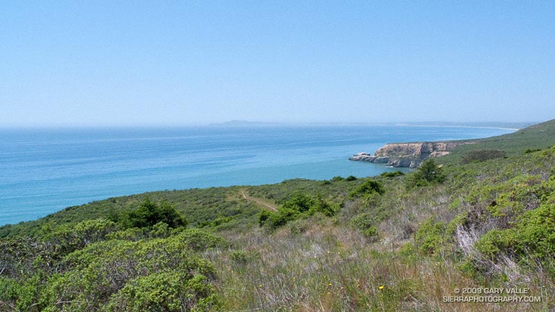

Pt. Resistance and Pt. Reyes from the Sky Trail, near its junction with the Coast Trail.
Rather than the singing of an Ent,  the resonating buzz was from the wing-beats of many thousands of bees, foraging in the tree. But, it was certainly the kind of day an Ent would relish. Instead of fog and chill gales, the day was warm, with just enough of a breeze to tickle a leaf. Below the bluff, a lazy ocean lapped at the shore, barely mustering enough strength to generate an occasional wave.

Awed by the size of the tree, Brett, Amanda and I joined hands to create a crude measuring tape, but our combined reach only encircled about half of the trunk. We estimated its girth at chest height to be about 30 ft! An oak tree this size would be ancient — perhaps several hundred to a 1000 years old. But, eucalyptus followed the Gold Rush into California, and the tree could be no older than about 150 years!

It was comfortable in the shade of the tree, and we were not in a rush to get back on the trail. Near record high temperatures had been forecast, and the expected 70-80 degree temps along the coast and 90-100 degree temps inland seemed about right.
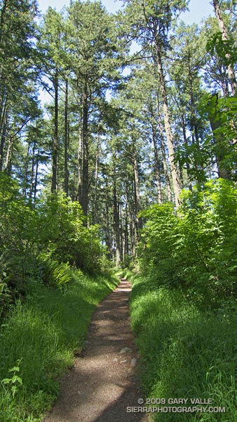

Lush Douglas fir forest along the Sky Trail in Pt. Reyes National Seashore.
We’d started at the Sky trailhead on Limantour Road, and followed the Sky Trail up through lush Douglas fir forest, past Sky Camp, to the Woodward Valley Trail. Here, at an impossibly green meadow, we had turned off the Sky Trail, and followed the Woodward Valley Trail down the shoulder of the ridge to its junction with the Coast Trail.

Now we had to get that elevation back. Nearby a hummingbird dashed and darted among the peach colored monnkeyflowers, and lodged a territorial complaint as we returned to his trail. In a couple of minutes we turned sharply left onto the Sky Trail and began the steep climb back up the hill.

Here’s a NPS map of Pt. Reyes (PDF) and Cesium browser View of a GPS trace of our route.

Tomorrow, a loop through the Presidio and under the Golden Gate Bridge.

Marin Headlands: Bobcat – Miwok Loop

View toward San Francisco from the Miwok Trail in the Marin Headlands.

Drove up to San Francisco to visit Brett & Amanda and sample a few of the Bay Area’s excellent trails.

Within an hour of arriving in the city we were across the Golden Gate, and running up the Bobcat Trail in the Marin Headlands. The Bobcat – Miwok loop was the first of three courses we were planning to do over the weekend.


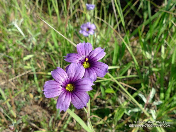
Blue-eyed grass along the Bobcat Trail in the Marin Headlands.
This course was an approximately six mile “after work” loop around the Gerbode Valley, with an elevation gain/loss of a little over 1000 ft. My legs were still a little tired from recent runs and I was happy to be doing the loop in the easier counterclockwise direction — up Bobcat and down Miwok. Except for a short segment of single track around the east side of an FAA beacon, the course is entirely on dirt roads. Bobcat sightings are relatively common on this circuit, and we hoped we might spot one.

In the city it was windy and cool, and I had grabbed a long-sleeve shirt for the run. But short sleeves would have been the better call. Here there was almost no wind, and the south facing valley was surprisingly warm — a hint of the record-breaking weather to come. Skies were mostly clear, and views extended south to the city, east across the Bay to Mt. Diablo, and north to Mt. Tamalpais.

Here’s a NPS Marin Headlands Trail Map (PDF) and a Cesium browser View of a GPS trace of our route.

Looking to do a longer run? Numerous variations and trail link-ups are possible. The course of the Miwok 100K winds through here and continues north past Mt. Tam to Bolinas Ridge, descending to a turnaround point at Hwy 1 about 5 miles south of Olema. Cross the Shoreline Highway, and you’re in Pt. Reyes National Seashore. (Bolinas Ridge fire road continues north to Sir Francis Drake Blvd. about a mile east of Olema.)

Tomorrow the Sky Trail at Pt. Reyes… but we are going to drive there.

Spanish Broom on Calabasas Peak – and the Altiplano?

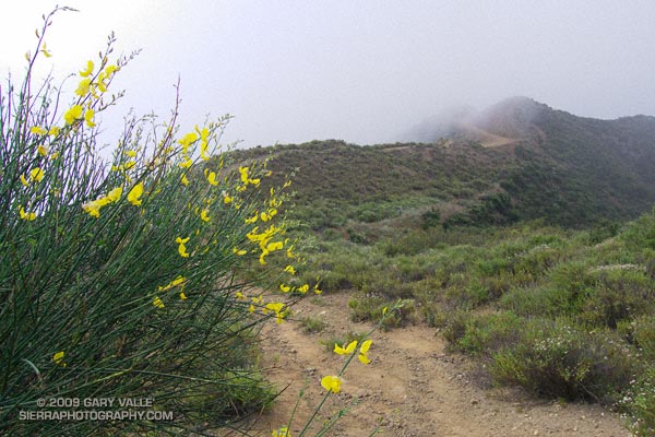
Spanish broom near Calabasas Peak.

Saturday, I’d run in the Malibu Creek Challenge 22K. Today I Wanted to do something low key. Not too long, not too steep, but still a run that would work out the kinks that follow a race. I finally settled on the Secret Trail to Calabasas Peak, a 4.25 mile course with an elevation gain/loss of around 750 ft.


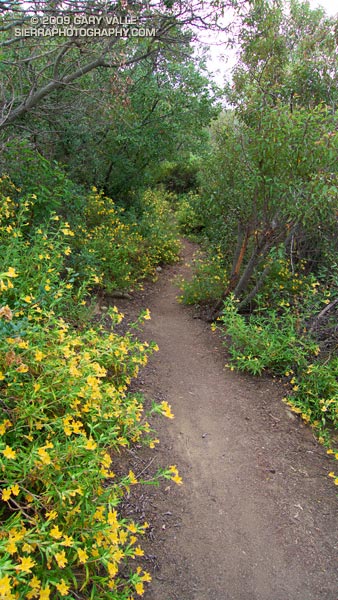
Bush monkeyflower along the Secret Trail.
The low clouds and fog that surged into the Santa Monica Mountains on Saturday had returned during the night. The mustard and monkeyflower along the trail were soaked with dew, and now, so was I. Running felt good, and the two or so miles to the peak passed quickly.

The sun had nearly burned through the morning overcast, and just below the summit of Calabasas Peak, the bright yellow flowers of a Spanish broom seemed to capture and concentrate the subdued sunlight.

Spanish broom (Spartium junceum) is a twiggy, green shrub that originated in the Mediterranean. It is common at lower elevations of our local mountains. According to the California Invasive Plant Council it was introduced as an ornamental in San Francisco in 1848, and planted along highways in Southern California in the 1930s. Its color and fragrance are distinctive.

Prior to running the Inca Trail we did an acclimatization run at 11,000 ft on the altiplano near Chinchero. The very first flower I saw on the run was a Spanish broom! This suggests that Spanish broom could spread to higher elevations of the San Gabriel Mountains, particularly if climate change results in more arid conditions.

Some related posts: Peru Running, Secret Trail to Calabasas Peak, Tapia Bound

Classic Cheeseboro Canyon

Cheeseboro Canyon

The 13 mile keyhole loop through Las Virgenes and Cheeseboro Canyons from the Ahmanson Victory trailhead is a classic Southern California mix of multi-use fire roads and single track trail.

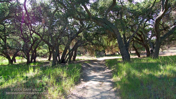
The segment from Shepherd’s Flat down through Cheeseboro Canyon is especially popular, and on the weekend you’ll find an assortment of hikers, runners, mountain bikers, and sometimes an equestrian group or two. Even on a warm day, the oak-shaded sections of the canyon can be surprisingly comfortable.

Here’s a Google Earth image and Cesium browser View of a GPS trace of the loop, and links to trail maps for Upper Las Virgenes Canyon Open Space Preserve (formerly Ahmanson Ranch) and Cheeseboro/Palo Comado Canyons.

Long Canyon to Simi Peak and China Flat

Wood Ranch Open Space

Wood Ranch Open Space

The fire road was covered with crawling and darting bees — so many I could feel the low, resonating buzz of the colony. Standing in the middle of the buzzing bees, I heard an “Oh crap!” from behind me. A mountain biker — stopped about 20 yards away — explains he’s allergic to bee stings.

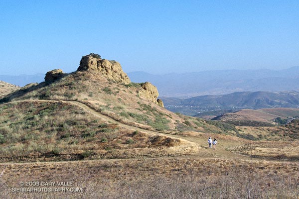
We were a little east of the China Flat “T” on the Albertson “motorway” — a fire road in the Simi Hills. Taking advantage of cool, sunny weather in the Los Angeles area, I was doing a course I had not done for years, an out and back trail run from the Wood Ranch trailhead to Simi Peak, with a short circuit around China Flat.

I had taken a short detour to check a small vernal pool hidden in the oaks off the fire road. There are surprising number of these ephemeral water sources in the Simi Hills. They sometimes have water when it’s unexpected, but this time the pool was dry.

The bees on the road were digger bees, ground nesting bees that look like fuzzy honeybees. Like honeybees, males have no stinger. Males swarm over the burrows of females, waiting for them to emerge. Females can sting, but in my experience, and from what I’ve read, are generally not aggressive. Here’s a very short video (from later in the run) of a second colony on the Simi Peak Trail.

Not being able to risk being stung, the mountain biker waited on the side of the road for his buddy to realize he wasn’t behind him anymore. I headed back to the China Flat Trail, and then continued to Simi Peak. Here’s a Google Earth image and Cesium browser View of a GPS trace of my approximately 10.75 mile route.

Note: A mountain biker on the Long Canyon trail told me he had seen a mountain lion in the area earlier in the morning. He was certain that it was a mountain lion, and not a bobcat or coyote.