Category Archives: ahmanson ranch

A Lot of Bluster, But Not Much Rain

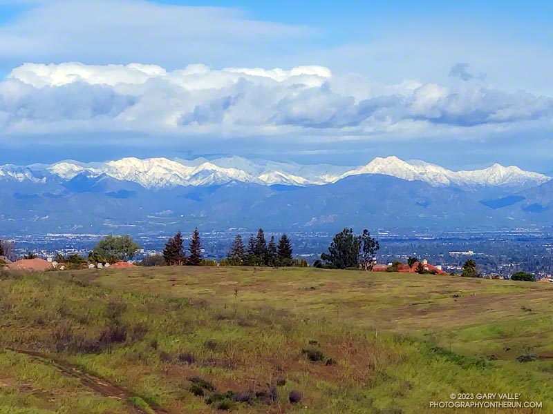
Clouds associated with an upper level low north of Los Angeles

Yep, that was a rumble of thunder. It was a blustery, Spring-like afternoon and a storm cell had developed a few miles to the WNW of Lasky Mesa.

Before driving over to Ahmanson I’d checked the weather radar and seen cells circulating counterclockwise around a cold upper level low. Most were dissipating as they moved north to south, out over the Valley. The wildcard was that the upper low was moving southward, and the cells might strengthen.

Convective cell WNW of Lasky Mesa associated with a cold upper low north of Los Angeles
Storm cell WNW of Lasky Mesa.

Again there was a low rumble. The cell didn’t seem any closer, but now I could see additional development to the north and northeast of Ahmanson. I picked up the pace.

There’s nothing like the threat and energy of a thunderstorm to incentivize a runner. All the way back to the trailhead it looked like heck might break loose at any moment.

But it didn’t. It was just starting to rain when I got back to the car, and on the way home the streets were wet. The Cheeseboro RAWS recorded 0.06 inch of rain, as did Downtown Los Angeles (USC).

Even though the Rain and Water Year rainfall totals for Los Angeles are about normal for the date, January and February have seen little rain. Precipitation records for Los Angeles indicate the period January 1 to February 28 will be the fourth driest on record.

The precipitation outlooks for Southern California this March don’t look especially promising, with a typical La Nina precipitation pattern expected for the West Coast.

Some related posts: Clearing Skies at Ahmanson Ranch, Thunderstorm

Is This the Future of Trail Use?

e-dirt bike in Upper Las Virgenes Canyon Open Space Preserve (aka Ahmanson Ranch)

The photo above is of a rider on an e-dirt bike in Upper Las Virgenes Canyon Open Space Preserve (aka Ahmanson Ranch). Based on a sequence of photos, no pedaling was required.

With the explosion of e-bikes, encounters such as this are inevitable. I’ve seen e-bikes and tracks in the most remote corners of the local mountains. Earlier this year, while running on a wilderness trail, I was passed by a motorcade of ten e-bikes.

Poaching of trails is commonplace. In one bike forum the question was asked, “Has anyone here actually received a ticket for riding an e-bike on a trail?” At that time — 2018 — the consensus was a resounding no. More recent posts suggest that not much has changed.

Valley Oak, Hill and Clouds

Valley Oak, Hill and Clouds - Black and white photograph

A conspicuous valley oak on a hill to the south of East Las Virgenes Canyon Road/Trail, about a mile from the Victory Trailhead of Upper Las Virgenes Canyon Open Space Preserve (Ahmanson Ranch).

Clearing Skies at Ahmanson Ranch

Towering cumulus cloud and an oak on a ridgeline

The cumulus cloud towered overhead, its size accentuated by a lone oak on the skyline. An extraordinary series of December rainstorms were finally over. The year 2021 would end with Downtown Los Angeles (USC) having recorded the third highest amount of December rainfall on record.

I was running from the Victory Trailhead of Upper Las Virgenes Canyon Open Space Preserve (aka Ahmanson) to Las Virgenes Canyon. With about 5 inches of rain in the area over the past two days, I was curious to see how upper Las Virgenes Creek was flowing.

Here are a few photos from the December 31st trail run and several other trail runs at Ahmanson over the past couple of wet weeks.

Goldenbush Blooming in Upper Las Virgenes Canyon Open Space Preserve

Bee on Palmer's goldenbush in Upper Las Virgenes Canyon Open Space Preserve (Ahmanson Ranch)

If you’re a bee in the Ahmanson Ranch area, your Fall menu of wildflowers is usually pretty sparse; particularly when the previous rain year has been below normal.

But life has a way of carving out a niche for itself in the toughest of circumstances. One plant you’ll find blooming in the oak grasslands of Ahmanson Ranch following a long, hot, dry summer is goldenbush. In the case of the title photo, it’s Palmer’s goldenbush.

Another goldenbush in the Lasky Mesa area is coast goldenbush. Here is a photo of coast goldenbush in the Photography on the Run album Weekday Wildflowers.

Cool Running at Ahmanson Ranch

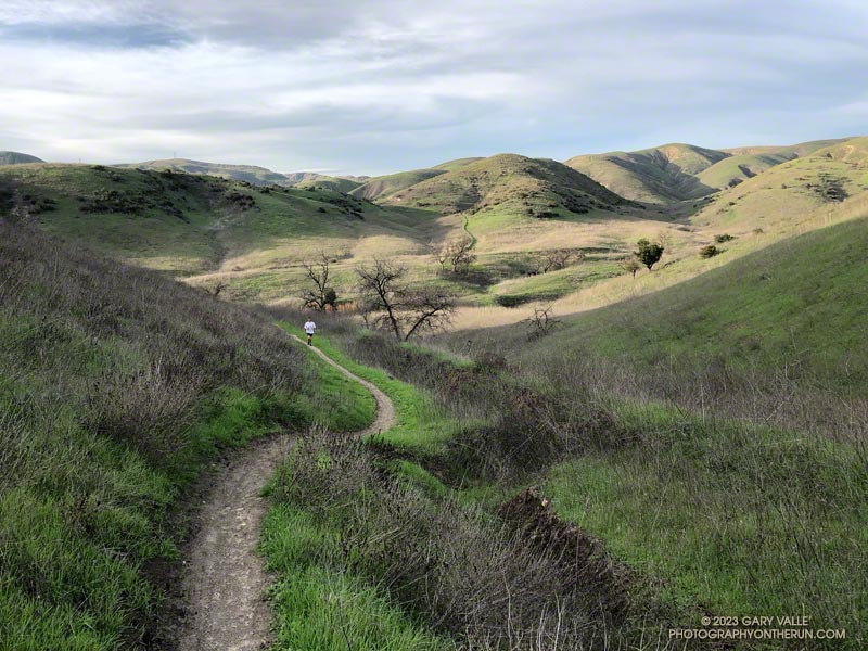
East Las Virgenes Canyon Trail in Upper Las Virgenes Canyon Open Space Preserve

Hikers, riders, and runners reveled in the unseasonably cool afternoon temperatures at Ahmanson Ranch (Upper Las Virgenes Canyon Open Space Preserve) yesterday.

According to the NWS, the high temperature of 75 degrees at Woodland Hills (Pierce College) was the lowest for the date on record. The temperature at the Cheeseboro RAWS didn’t reach the 70s until around 1:30 p.m., and finally hit 75 around 4:30 p.m. Earlier in the day, the station recorded 0.03 inch of light rain.

I took advantage of the cooler weather to do an out and back trail run from the Victory Trailhead to Cheeseboro Canyon. The nine mile run has an elevation gain/loss of around 1000′. Except for a couple of hills, it’s a relatively fast-paced route, particularly on the way out to Las Virgenes Canyon. There are two creek crossings in Las Virgenes Canyon. These dried up earlier this year, but in some years the crossings have enough water to get your shoes wet.

It’s not a good run to do when it’s hot, and in the Summer Ahmanson is almost always hot. In-the-sun temperatures are typically above 100 degrees, and sometimes reach 110 degrees or more. More than once I’ve encountered people on Ahmanson area trails that misjudged the conditions and were out of water. And sadly, dogs are especially susceptible to heat.

Here’s an interactive, 3D terrain view of the run. The map can be zoomed, tilted, rotated, and panned. To change the view, use the control on the upper right side of the screen. Track and placename locations are approximate and subject to errors. Poor weather, and other conditions may make this route unsuitable for this activity.

Those that recreate at Ahmanson will recognize the title photo as East Las Virgenes Canyon, about 1.1 mile from the Victory Trailhead. This is where a trail/road to Lasky Mesa forks off the main road.

Some related posts: Run to the Cheeseboro Remote Automated Weather Station, Classic Cheeseboro Canyon, Big Southern Pacific Rattlesnake at Ahmanson Ranch