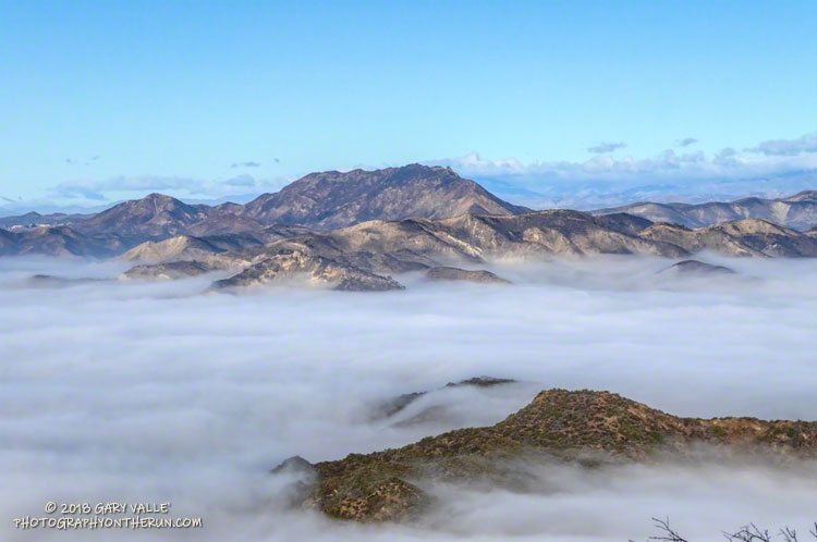
Ladyface, a popular peak in Agoura Hills, stands above a sea of fog filling the low-lying areas of Malibu Creek State Park.
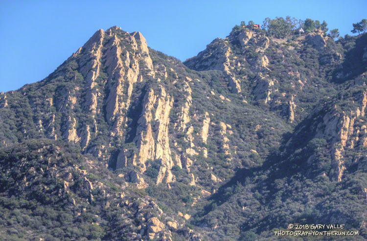
The photograph is from a section of the Backbone Trail near Saddle Peak. None of the Backbone Trail EAST of Malibu Canyon was burned in the Woolsey Fire.
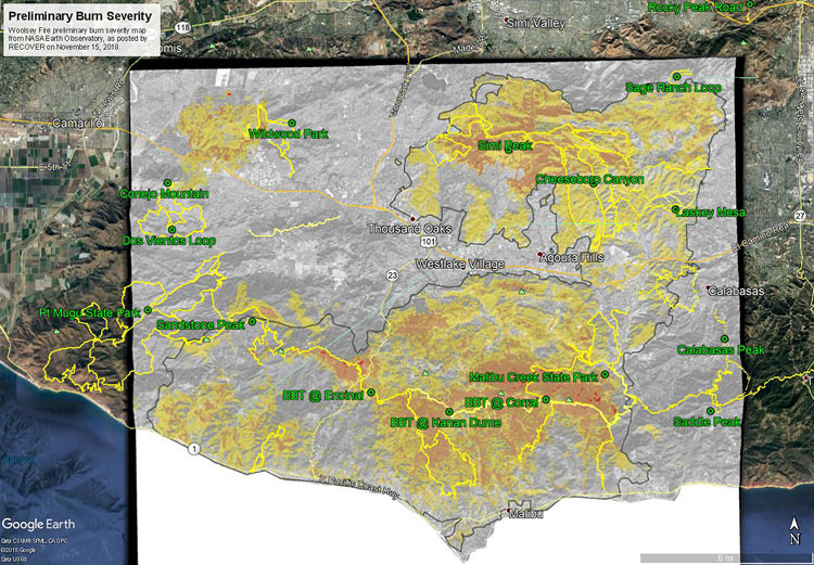
The initial burn severity estimate is based on a Burned Area Reflectance Classification (BARC) derived from satellite data before and after the fire. In the map above the burn severity classes are high (red), moderate (orange) and low (yellow). Note that areas within the fire perimeter that are not included in these classes may still have burned. Also note the fire was still burning when this assessment was made.
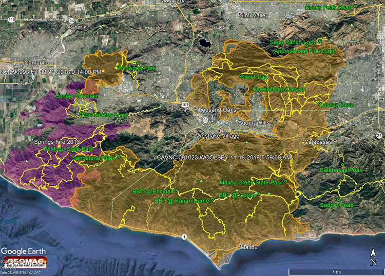
GPS tracks of the Backbone Trail and some other trails in the region have been added. Trail and placename locations should be considered approximate.
The Google Earth image above shows a recent perimeter for the 2018 Woolsey Fire along with GPS tracks of the Backbone Trail and some other trails in the region. The Hill Fire perimeter and 2013 Springs Fire perimeter (purple area) are also shown. Trail and placename locations should be considered approximate. Here is a larger version of the map.
The perimeter was was downloaded from GEOMAC and timestamped November 18, 2018 at 5:59 a.m. If the timestamp of the perimeter of the displayed map doesn’t match, try refreshing/reloading this page. The perimeter has been refined and the acreage is a slightly less than previously specified.
As of November 21, 2018 6:11 p.m., the Cal Fire Incident Page for the Woolsey Fire indicated that the fire had burned 96,949 acres and was 100% contained. The fire started on November 8, 2018 2:24 p.m.
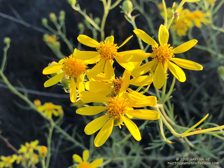
Yellow seems to be the predominant color of late-summer and fall wildflowers in Southern California. In addition to the bush Senecio pictured above; rabbitbrush, goldenbush, tarweed, telegraph weed and common sunflower come to mind.
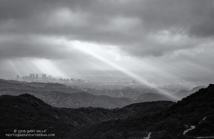
From a recent run of the Trippet Ranch loop, with a side trip to Temescal Peak.