Originally published June 28, 2008. Updated December 30. 2022.
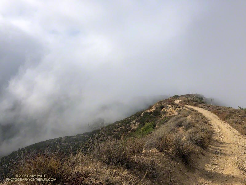
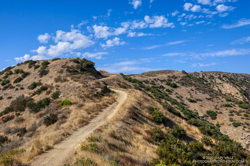
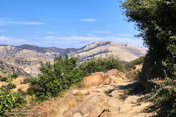
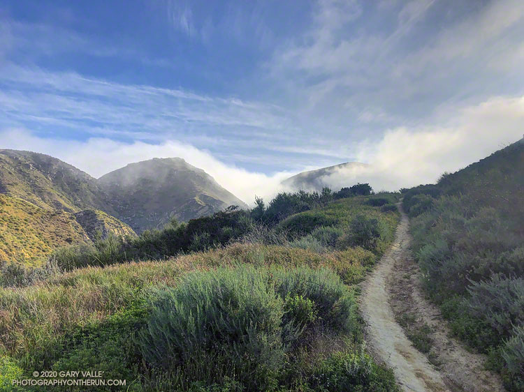
Without a doubt, the Chumash Trail is one of my favorite short “after work” trail runs. Popular among hikers, mountain bikers, and runners, the Chumash Trail starts on Flanagan Drive in eastern Simi Valley and ascends the convoluted western flank of Rocky Peak Park to Rocky Peak Fire Road. It’s single-track trail all the way, gaining about 1175′ over 2.7 miles.
From a trail runner’s training perspective, it is a nearly ideal short, technical, higher heart rate workout. It has a few tough sections but is generally very runnable. When I’m chugging up the trail, it seems just about the time my heart rate is going to go lactic, the trail will back off or contour. Because I usually run the trail near my aerobic maximum, it’s a great indicator of where I am in my training. Over-training, or any other fitness issue, is usually plainly — and sometimes painfully — evident.
In many ways running down the Chumash Trail is more difficult than running up. It can be very challenging to run down a rocky, technical section of trail with any speed. Running a trail like the Chumash Trail can help develop the skill and strength necessary to do downhills with better technique and more speed.
I don’t think I’ve ever run this trail fresh, but a couple of times a year, when my legs feel good, it’s fun to really push the Chumash Trail up and down. Like most running, there’s a balance — push too hard on the up and there won’t be enough left to push the down.
Here is an interactive, 3D terrain view of the Chumash Trail Out & Back to Rocky Peak Road. The map can be zoomed, tilted, rotated, and panned using the navigation control on the right. Track and placename locations are approximate and subject to errors. Poor weather and other conditions may make this route unsuitable for this activity.
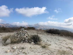
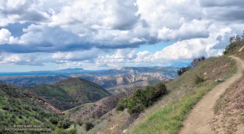
There are several ways to extend the basic out and back. One option is to turn left on Rocky Peak Road and run a mile to “Fossil Point.” Another is to turn right and run 1.6 mile to the Rock Peak overlook.
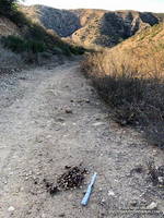
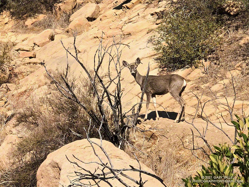
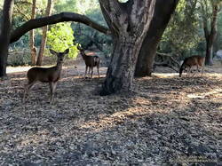
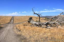
Some related posts: Chumash Trail Mule Deer, Category Is: Things Found on the Chumash Trail, Chumash Trail Rocks & Snow, Chumash-Las Llajas Loop