Category Archives: trails|smmc open space

Rocky Peak

Rocky Peak in the Santa Susana Mountains

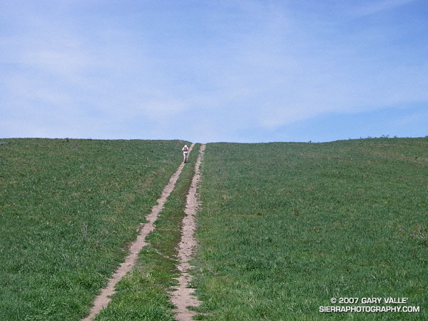
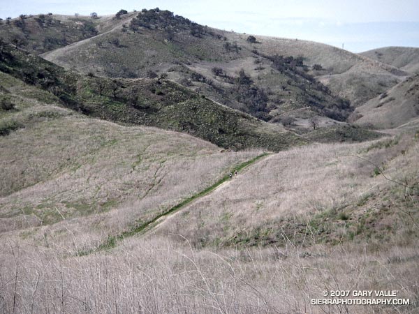
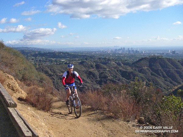
Each year, thousands hike, ride or run the 2.3 miles up Rocky Peak fire road to a high point with a nice view of Simi Valley. This is near the point marked “ROAD” in this overview photo. Many turn around here, but some continue along the main road to the Johnson Trail, Chumash Trail, Fossil Point, or beyond.

Another option is to follow a spur trail that branches off the main road at the high point about a quarter-mile to an airy overlook. From this viewpoint you can see the San Fernando Valley and surrounding mountains, and trace your route through Rocky Peak Park’s unique sandstone formations.

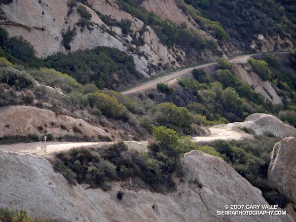
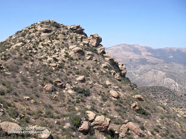
The overlook marks the end of the “easy” trail and the beginning of a rough, rudimentary trail that leads east-northeast through large boulders and outcrops to the summit of the Rocky Peak (2714′).

The summit of Rocky Peak is one of the points that defines the border between Los Angeles and Ventura counties. Last year, I was surprised to find evidence that a coyote had recently visited this summit!

Here’s a Google Earth image and Google Earth KMZ file of a GPS trace of my route to the summit.

Some related posts: San Fernando Valley from Rocky Peak, Rainy Morning on Rocky Peak Road.

Blue Skies, Green Hills & Sunshine

Runner on a track that connects Rocky Peak fire road to Las Llajas Canyon in Rocky Peak Park.

Runner on a track that connects Rocky Peak fire road to Las Llajas Canyon in Rocky Peak Park. From the top of this hill there is approximately 4 miles of fast downhill through a scenic canyon garnished with out of service oil wells and a gurgling creek.

Related post: Chumash – Las Llajas Loop.

Cheeseboro Bound

Two runners climb up the last yards of a hill before descending into Las Virgenes Canyon in Upper Las Virgenes Canyon Open Space Preserve.

Two runners climb up the last yards of a hill before descending into Las Virgenes Canyon in Upper Las Virgenes Canyon Open Space Preserve.

The trail is a connector that joins East Las Virgenes Canyon with upper Las Virgenes Canyon. Our 15 mile loop started at the Victory trailhead, following the El Scorpion Trail to another long-used trail that climbs up to the ridge along the northern boundary of the preserve. From here we descended to Las Virgenes Canyon and worked over to Shepherd’s Flat and down Cheeseboro Canyon, eventually returning to the Victory trailhead by way of the main drag.

The area seen in the photograph is a small portion of the 24,000 acres that was burned in the Topanga Fire in late September 2005.

Although an undercoat of green is apparent, the drought in Southern California continues. According to NWS climate data, as of today, Downtown Los Angeles (USC) has recorded only 2.42 inches of rain since the water year began on July 1, 2006. This total is nearly 9 inches less than normal.

Tapia Bound

A trail runner cruises down Calabasas Peak Motorway on the way to the Stunt High Trail, Backbone Trail, Saddle Peak, and Tapia Park

A friend cruises down Calabasas Peak Motorway on the way to the Stunt High Trail, Backbone Trail, Saddle Peak, and Tapia Park – a run of about 14 miles with an elevation gain of about 2600 ft., and loss of about 3600 ft.

Several excellent trail runs in the 11-15 mile range (or longer) can be done from the intersection of Malibu Canyon and Piuma Rd., near Tapia Park. These include an out and back to Saddle Peak (~13 mi), the Bulldog Loop (~14.5 mi), and point to point runs starting at the Secret Trail (~11 mi), or Tunnel #1 on Kanan Rd. (~12.5 mi).

Related posts: Saddle Peak, Rock Formations Along the Backbone Trail

Rainy Morning on Rocky Peak Road

Steam rises from Rocky Peak Road near Fossil Point.

It was nice to start a run in the rain and see a few mud puddles along the way! Southern California has had so little rain the last several months that any rain is something to celebrate. Since the start of the water year on July 1, the official weather station for Los Angeles at USC has recorded only 1.48 inches of rain. This is more than 5 inches below normal for the date, and depending on the rain received the next three days, the July 1 to January 31 rainfall total could be the 5th driest since recordkeeping began in 1877. (Downtown Los Angeles recorded only 0.02 inch over the three days, and according to a NWS statement issued February 1, July 1 to January 31 was the 5th driest on record.)

Unless you are particularly fond of mud, Rocky Peak Road is usually a good choice for a run if it’s raining, or has rained recently. Perched on a ridge on the border between Los Angeles and Ventura counties in Rocky Peak Park, its sandy soils are generally well drained. Except for a few short sections of road, mud isn’t too much of an issue unless you run beyond “fossil point,” the high point of the road at about mile 4.8. Here there is an outcrop of fossil scallop shells.

Related posts: San Fernando Valley from Rocky Peak, Chumash-Las Llajas LoopSunset Snow Shower

Will Rogers – Temescal Loop

Mountain biker on the Will Rogers segment of the Backbone Trail in the Santa Monica Mountains

I paused for a moment on a narrow section of the Backbone Trail that zig-zags down a steep, eroded slope and then crosses a bridge over a narrow gorge before continuing down Rogers ridge. Below, a hiker stopped on the bridge to contemplate the canyon, and a mountain biker briefly walked his bike and then cranked up the switchbacks past me.

It had rained the day before, and the cold front had resulted in a chilly, puffy cloud, postcard kind of day with breezy panoramic views of the San Gabriel Mountains, Downtown, Century City, Santa Monica, Palos Verdes, and the Pacific Ocean.

The 7 mile segment of the Backbone Trail from Temescal Ridge fire road down to Will Rogers State Historic Park is one of my favorite (mostly) downhill stretches of trail in the Santa Monica Mountains. Over much of its length, the grade is not too steep, the footing consistent, and the running outstanding.

My usual route for this run starts the same as for the Trippet Ranch Loop and Garapito Figure 8 runs, going up to the Hub from the end of Reseda Blvd. From the Hub it’s about 0.6 mile along Temescal Ridge Fire Road to the point where the Backbone Trail takes off to the left from the road.

Once at Will Rogers, the Rivas Canyon Trail can be used to connect to Temescal Gateway Park, and then the Temescal Falls or Ridge trail used to connect with Temescal Ridge Fire Road and return to the Hub. (Mountain bikers use other routes.)

Overall the route is about 21 miles long, with about 3500′ in elevation gain/loss. Here’s a Google Earth image and Google Earth KMZ file of a GPS trace of the route.