Category Archives: weather|el nino

July Deluge a Preview of Southern California’s Upcoming Rain Season?

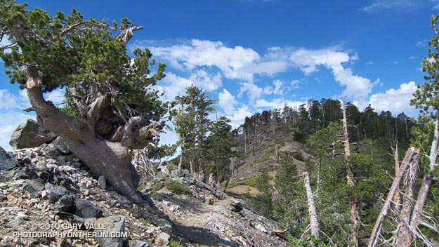
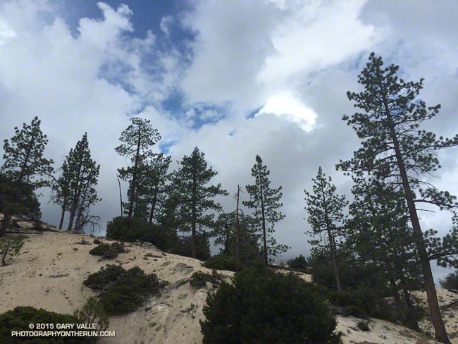
Pines and clouds in the San Gabriel Mountains

It wasn’t so much a surprise that there was thunder or that it was starting to shower again. It was that I was hearing thunder all around me — to the east toward Mt. Waterman and Twin Peaks, to the south toward Mt. Wilson and the San Gabriel Valley, and to the west toward Big Tujunga Canyon and the San Fernando Valley. This was clearly more than an isolated summer build-up. Pockets of showers, some light and some heavy, could be seen in the distance and I wondered just how wet I was going to get.
Mt. Waterman (left) and Twin Peaks from near Mt. Hillyer in the San Gabriel Mountains
Mt. Waterman (left) and Twin Peaks from near Mt. Hillyer

The answer was “pretty wet!” That was on a run in the San Gabriel Mountains on Saturday, and was the result of the first wave of moisture and instability associated with tropical system Dolores and a strong monsoonal flow from Baja. An even stronger surge of moisture followed Sunday afternoon with rain rates exceeding an inch an hour. From 5:15 p.m. to 5:25 p.m. a CBS Radio weather station on Mt. Wilson recorded a half-inch of rain in just 10 minutes!
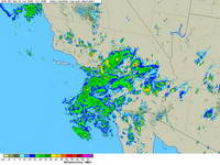
NEXRAD regional composite radar image for Southern California at 5:00 p.m. Sunday, July 19, 2015.
Composite radar image for Southern California at 5:00 p.m. Sunday

Though the heavy rain created its own problems — including flash floods, debris flows and rock slides — the soaking rains helped quell the Pines Fire near Wrightwood and the North Fire near Cajon Pass. Over the three day period from Saturday to Monday the Big Pines Remote Automated Weather Station (RAWS), near the Pines Fire, recorded 3.12 inches of rain. Several stations in the San Gabriels recorded more than three inches of rain, including Clear Creek and Opids Camp.

Many locations set new records, not only for the date, but for any day in July. Downtown Los Angeles (USC) set rainfall records for the date on Saturday, Sunday and Monday. Downtown Los Angeles recorded 0.36 inch of rain Saturday. This is more rain than any day in any July since recordkeeping began in 1877. That one day of rainfall even broke the monthly record for July in Los Angeles! Prior to this event the wettest July on record was in 1886, when 0.24 inch was recorded.

Strengthening El Nino conditions and the active phase of the Madden-Julian Oscillation contributed to the development of Dolores in the Eastern Pacific, enhancing convection. Anomalously warm SSTs in the tropical and sub-tropical Eastern Pacific also played a role, helping to maintain the strength of Dolores and increasing the amount of water vapor entrained by the system.

This year’s El Nino is very different than last year’s on again, off again event. This year’s El Nino is already established, well-coupled with the atmosphere and growing in strength. It’s firing on all cylinders and at this point it appears the only question is, “How strong will it get?”

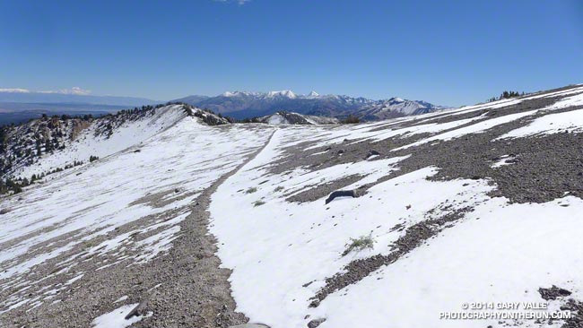
September Snow Run

San Joaquin Ridge, September 2014

With this year’s El Nino developing in fits and starts and drought-plagued California clinging to hopes of an above average snowpack, a little September snow is a big deal, even if it’s just a dusting.

The first low pressure system of Fall resulted in significant rain in many areas of Central and Northern California, with amounts falling off quickly to the south. According to the NWS, Redding recorded over 3 inches of rain; Red Bluff nearly 2.5 inches; South Lake Tahoe 1.8 inches; Downtown Sacramento and San Francisco both recorded about 0.5 inch.

For a rain-starved, heat-desiccated Southern Californian it was great to get out and play in the snow. I had a window of about three hours to do a run and the run/hike up San Joaquin Ridge from Minaret Summit was superb!

Here are a few photos from the run.

Dowsing for Rain: The 2013-14 Southern California Winter Precipitation Outlook

Rocky Peak Road near its junction with the Chumash Trail

Updated October 17, 2013.

As I started up the Chumash Trail, a patchwork of clouds filled the sky, and the fresh smell of a recent shower filled my lungs. A strong and unseasonably cold low pressure system was producing the first widespread rainfall of Southern California’s 2013-14 rain season.

I hoped there would be another shower during my run. The plants and animals needed it and I needed it. It had been many months since I had run in the rain on a local trail.

As I worked up the trail I thought about how dry it had been. Downtown Los Angeles’ 2012-13 water year (Jul 1 – Jun 30) was the sixth driest on record. Rainfall in Los Angeles since January 1 has been about 25% of normal. The 2012-13 Sierra snowpack was one of the worst on record.

Will this rain and snow season be any better? For months I’ve been monitoring climate data and forecasts looking for something on which to base a 2013-14 Winter Outlook. Historically, ENSO has been the big dog in Southern California rain season weather with El Nino conditions generally producing wetter weather and La Nina conditions generally drier.

But ENSO conditions are currently Neutral and are expected to remain so through the end of the year. Most climate models forecast there will be slow warming of SSTs in the equatorial Pacific (NINO 3.4 region) over the next several months, but at this time of the year it would be very unusual to have substantial warming. The CPC/IRI ENSO Forecasts from IRI’s October Quick Look indicate the probability of an El Nino developing before the end of the year is less than 20% — and 20% seems high.

One computer model that at times has been forecasting above average precipitation this Winter in Southern California is the Climate Forecast System version 2 (CFSv2). The CFSv2 is fully coupled ocean-atmosphere-land-sea ice model used to forecast parameters such as sea surface temperature, temperature and precipitation rate. While skillful at predicting tropical SSTs, the CFSv2 generally performs very poorly when forecasting precipitation over land, so forecasts such as this one for Dec-Jan-Feb must be viewed somewhat skeptically.

Another glass half-full observation is that the Madden-Julian Oscillation (MJO) has been relatively active this year and if this activity continues it provides recurring opportunities for enhanced U.S. West Coast precipitation. The downside is that it can result in periods of dry weather as well.

With the ocean and atmosphere neutral there’s just not much on which to base a rain season forecast. According to the Climate Prediction Center, the current winter precipitation outlook for most of Southern California calls for an equal chance of below average, average, or above average rainfall. I know — that’s no help at all — you might as well flip a three-sided coin!

Update October 17, 2013. The Climate Prediction Center released its updated U.S. Dec-Jan-Feb Precipitation Outlook today. The outlook now indicates an equal chance of below average, average, or above average precipitation for all of Southern California. The October CPC outlook is usually the basis for the initial official NOAA U.S. Winter Outlook.

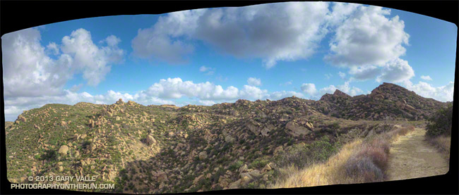
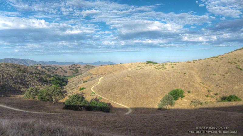
The title photo is of Rocky Peak Road, near its junction with the Chumash Trail. Here’s a larger version of the panorama.

Kern River Festival 2013

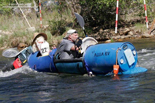
Hyside's Richard Dechants Aqua RV Hooligan Boat

Hyside’s Richard Dechant’s Aqua RV Hooligan Boat

Last summer it looked like El Nino was ramping up for a moderate-level event and the buzz was that Warm Episode ENSO Conditions were pretty much a done deal for the Winter. Only no one told the atmosphere — and it didn’t cooperate with warming SSTs to produce the expected event.


This and other factors resulted in one of the most meager Kern snowpacks on record with the April 1 snow courses averaging about 23% of normal. The lowest was in 1977 when the April snow courses averaged 19% of normal. Not only was this year dry, but last year was also a low snowpack year. 2011-2012 and 2012-2013 ranked a close second to 1975-1976 and 1976-1977 as having the lowest snowpacks on record in consecutive seasons.


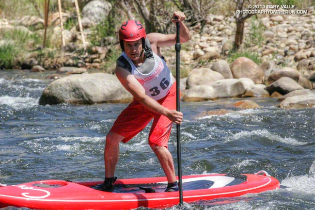
The shallow snowpack and a cold weather system the week preceding Festival kept flows in the 450-500 cfs range Saturday and Sunday. There was enough water for Hooligan Boats, SUP Races, Whitewater Triathlon and Slalom Race, but the Brush Creek races had to be cancelled.

The weather for the 49th edition of the Kern River Festival was perfect, and even with the low flow there was plenty of whitewater action. Everyone looked like they enjoyed paddling the Kern. I know I did. More info, results and photos can be found on the KVRC.org and KernFestival.com web sites.

Las Virgenes – Cheeseboro – Palo Comado Loop

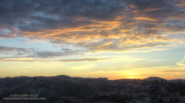
Las Virgenes Canyon sunrise

The trail was exposed and sweat was dripping from the brim of my cap like a faucet with a worn out washer. Expecting a warm day I had started my run early — before sunrise — but that had not been early enough. It was 8:30 am and the temperature was already over 90°F. It was not only hot, it was humid. Monsoon clouds were scattered across the sky, but somehow the sun was dodging all of them. It was disturbingly familiar.

Even if the weather wasn’t perfect, the run was a good one. I was doing a loop from the Las Virgenes Trailhead of Upper Las Virgenes Canyon Open Space Preserve. There are two trails here — the main trail which follows Las Virgenes Creek north up the canyon, and a power line service road (about 50 yards south of the first) that climbs out of Las Virgenes Canyon and leads west to the Cheeseboro Ridge Trail.


I had taken the power line service road, and worked west over to the Cheeseboro Canyon trailhead, then up the Modelo Trail and over to Palo Comado Canyon. Now I was a couple of miles up-canyon on an unmaintained, but well-used, single track trail that links the Palo Comado fire road with the Sheep Corral Trail. Once on the Sheep Corral Trail I could follow it east past Shepherds’ Flat all the way back to Las Virgenes Canyon.

There would be some relief from the heat once I reached Las Virgenes Canyon, but this was really a run better done on a cool day. On the calendar Autumn was just days away. Southern California or not, eventually the weather would cool. The development of a weak to moderate El Nino had stalled, but nearly all forecasts indicated further development was imminent. Maybe a little rain wasn’t too many weeks away.

With an elevation gain of only 1800′ over 14 miles this route includes long stretches of faster-paced trail — both single track and dirt road — but there are some good hills as well. Many variations are possible. This Park Service PDF shows the trails in the area.

Some related posts: Upper Las Virgenes Canyon – Cheeseboro Ridge Loop, Owl Feather on the Modelo Trail, Las Virgenes Creek Near the Sheep Corral Trail

La Nina Looming

Pacific Crest Trail Near Mt. Burnham

Pacific Crest Trail Near Mt. Burnham, in the San Gabriel Mountains

At an elevation of 9000′ the weather was sensational. Skies were partly cloudy, accentuating the terrain, and hinting of a thunderstorm later in the day. I was on the Pacific Crest Trail between Mt. Burnham and Mt. Baden-Powell, about 8 miles into a 18 mile run in the San Gabriel Mountains.


Remarkably, there was still a small patch of snow along the trail. According to seasonal summaries in Your Guide to Snowfall, the 2009-2010 season in Southern California was the best since the big Winter of 2004-2005. But it wasn’t necessary to check the snow history to know the snowfall had been above average. All that was needed was to look around, and the mountains told the story.

The remnants of snow were only part of the tale. Broken and downed trees told of strong Winter winds, and the stalks of red snow plant of a cool Spring. Now springs flowed freely and once dry seeps were damp and green. Wildflowers bloomed in profusion. Squat bumblebees waddled from flower to flower, and hummingbirds darted from patch to patch of scarlet bugler.


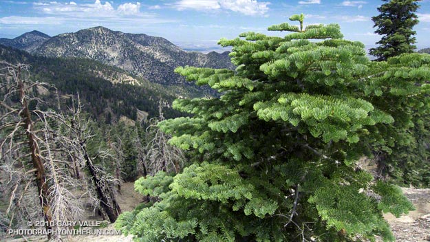
It had been a good Winter. Sugar pines were heavy with pine cones, and new growth decorated the limbs of the white firs. The growth of tree seedlings in the Curve Fire burn area seemed to have accelerated, and the protracted process of forest replacement was underway.

Southern California’s erratic weather demands that plants and trees be opportunistic. In time they have learned that an El Nino Winter is often followed by one that is dry, and La Nina looms.