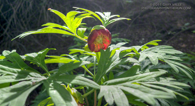
California peony along the Garapito Trail.
From Sunday’s trail run to Trippet Ranch.
Related post: California Peony

California peony along the Garapito Trail.
From Sunday’s trail run to Trippet Ranch.
Related post: California Peony
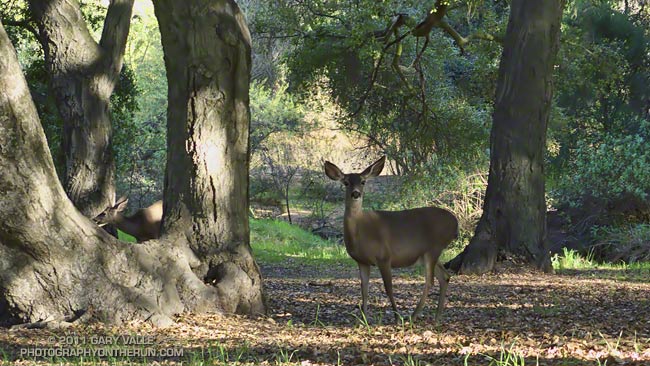
I almost always see mule deer when doing a trail run that passes through Trippet Ranch, especially in the morning. They tend to hang out near the parking lot, the pond, the oaks along East Topanga fire road, and along the Musch and Dead Horse trails.
Sunday several doe were grazing about five feet from the parking lot, and barely took notice as I (slowly) ran past. I also saw a buck near the start of the Musch Trail, but he was much more skittish, and strutted into the brush as I ran up the hill from the pond.
Related post: Musch Trail Mule Deer
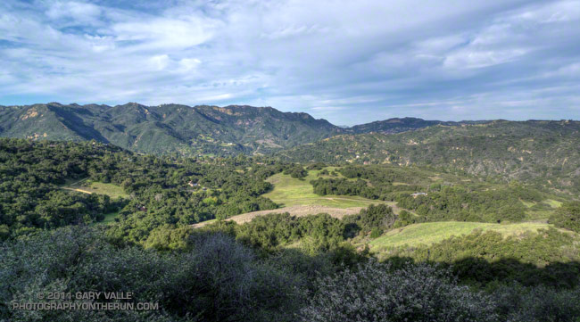
At one time the homestead of a beekeeper, and later the getaway home of US Judge Oscar A. Trippet, Sr., Trippet Ranch was one of the land purchases associated with the creation of Topanga State Park in the early seventies. Apparently Judge Trippet’s son enjoyed the natural setting of this ranch in the hills, and when he inherited the property, gave it the name “Rancho Las Lomas Celestiales.”
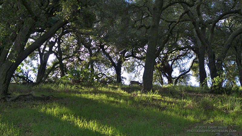
Running through the oaks in the early morning with sunlight filtering through the trees, and mule deer grazing quietly feet from the trail, it’s easy to see how he might have been inspired to give Trippet Ranch such a name.
Today’s run to Trippet Ranch is one of several trail runs I enjoy doing that start at Marvin Braude Mulholland Gateway Park, and end by running the Garapito and Bent Arrow trails. This particular run is a 12.2 mile serpentine route that takes fire roads out to Trippet Ranch, and then single track trails back to Mulholland near the top of Reseda. Here’s an interactive Cesium browser View of a GPS trace of the route.
For more information about the history of Trippet Ranch and Topanga State Park, see the Park History page on the Topanga Canyon Docents web site.
Related post: Garapito Trail Runs
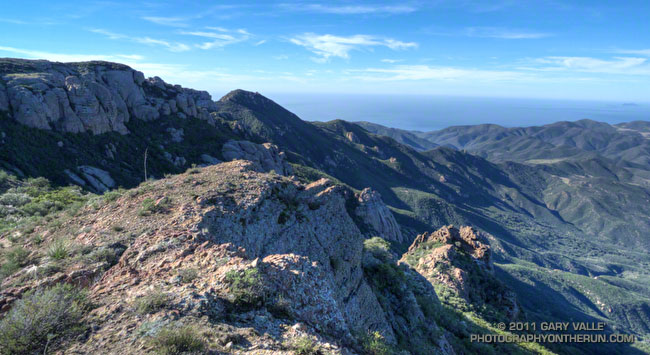
The plan had been to do a run similar to last week’s Serrano Valley run, with more of an emphasis on distance, than elevation gain. As I worked up the long switchbacks on the Old Boney Trail I debated the benefits and disadvantages of more — or less — elevation gain. Just two weeks before the Bandit 50K would additional elevation gain hurt or help in that hilly race?
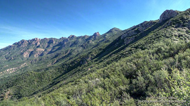
It really didn’t matter. Now was now, and the race was a distant two weeks away. The route up the westernmost of Boney Mountain’s two north ridges was one of my favorites — especially when the weather was clear and the views from the mountain were far reaching. I’d done the Old Boney Trail last week. This week I’d hang a left at the ridge and go up and over the peak.
Anticipating a warm day I’d left my pull-on sleeves in the car. Bad choice. Strong Santa Ana winds scoured the ridge, and the weak morning sun was lukewarm at best. The thick chaparral and tall rock formations provided some protection from the wind, but from time to time the trail would emerge onto a rocky prominence or exposed ridge and remind me just how cold 60 degrees can be!
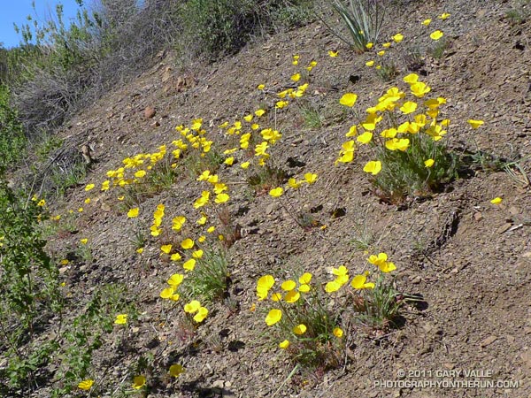
Contrary to experience, the wind moderated a little as I worked up the ridge. It was still very windy, but the buffeting winds I’d expected at the saddle north of Tri Peaks didn’t happen. Even so, it felt great to work around the east side of Tri Peaks and into the full sun on the south side of the peak! The change in the “feels like” temperature must have been 25 degrees! It would be shorts and short-sleeves comfortable for the remainder of the run.
As it turned out the elevation gain going up and over Boney Mountain and down the Chamberlain Trail wasn’t that much more than the up, down, up route along the Old Boney Trail — and the running was oh so good down the recently repaired Chamberlain/Backbone trail!
Some related posts: Boney Mountain Morning, Conejo Valley Sun and Boney Mountain Clouds
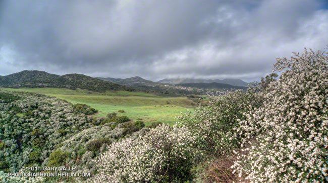
By the time I reached Rancho Sierra Vista/Satwiwa at the end of last Sunday’s wet run to Serrano Valley and back, the frontal band was mostly done with its showers and was speeding to the east. In its wake were blustery winds, broken clouds, and a dynamic patchwork of sun and shadow on Satwiwa’s spectacularly green landscape.
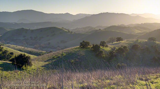
A hazy, late afternoon view across Cheeseboro Canyon and the hills of Agoura to Ladyface peak, near Kanan Rd and the Ventura Frwy. Castro Peak is in the distance on the left.
From today’s run to Cheeseboro Ridge from the Victory trailhead at Ahmanson Ranch.