Category Archives: running|races

Ray Miller 50/50 2013 Notes

A luminous stream of headlamps wound up the switchback above the rocky streambed, the lights defining the movement of a huge and sinuous creature making its way up La Jolla Canyon.

In the darkness a great horned owl greets runners with a questioned, “who-whoo, who-whoo.” Excited runners answer back with cupped hands, “who-whoooo, who-whoooo.” Above, a thick veil of high clouds shrouds the last quarter moon. The clouds will also temper the sun, resulting in nearly ideal race-day weather. The trails are in great shape and there should be some fast times.

As we round the shoulder of a peak the gray-blue Pacific stretches out to Anacapa and the Channel Islands. The sun is still below the horizon, but the clouds to the east are now illuminated in a startling mix of orange and pink. It is an inspiring start to what will be an  enjoyable run.

Being familiar with an area’s trails is both a pro and a con. The pro is that you know what to expect, but that is also the con. I still had mental scars from the last time I had done the Coyote Trail. The run had been long, the sun scorching and the humidity high. The steep stretch near the top had been an oven. Not today.

From the top of the Coyote climb there are wide ranging views in every direction. The trail continues north along a roller coaster ridge, past Ranch Center Road, where it becomes the Hidden Pond Trail. Rainfall this season has been well below normal — less than half of normal at Camarillo Airport — and the pond is little more than a damp spot in the brush.

Even so, the signs of spring are everywhere. The white blossoms of Ceanothus highlight the hills, and new grass carpets the open areas. Along the route I see yellow encelia, violet shooting stars, white milkmaids, purple prickly phlox, orange paintbrush and other wildflowers.

Everyone I talk to feels great. Some runners are escaping the cold climes of the Pacific Northwest and Midwest. Some are running their first ultra. There is talk of running shoes, places and races. The miles pass — not effortlessly, but with the right mix of more difficult and easier sections.

A quick stop at the Danielson aid station and I’m back on the trail. It’s a tough climb up the Old Boney Trail to the Chamberlain Trail and the turnoff for the 50 milers. A 100K looms at the end of March and the plan is to do some extra training miles later today. But I also have a 50K in two weeks and decided today’s extra miles should be flat. Deftly passing the 50 mile turn, I wonder if it might have been the better training choice.

In another 15-20 minutes I start the descent into Serrano Valley. Along with La Jolla Valley, which we traversed earlier in the day, Serrano Valley is one of the scenic jewels of the Santa Monica Mountains and a fantastic place to run.

Despite rain during the week, the creek crossings in Serrano Canyon are dry and the running excellent. In a few minutes I reach the landslide part way through the canyon and not long after that I hear the yells and see the smiles of the crew at the Sycamore Canyon Aid Station. As at all of the other aid stations, the volunteers are super-helpful and make sure I have what I need.

Some races feature one or two particularly long, difficult climbs. The Ray Miller 50K has (depending on how you count them) six climbs ranging from about 500′ in elevation gain to about 1000′ of gain. The 50 mile adds two climbs of 1000′ or more, the big one being the 1800′ climb from Old Boney to Sandstone Peak.

The last climb of the race — from Sycamore Canyon up the Fireline Trail, up the Outlook Fire Road, and then up the beginning of the Ray Miller Trail — is a tough one, gaining about 920′ in 2.3 miles. From the top of the climb the downhill to the finish is the favorite of many, and the hope is always that you will have enough left to run it well!

********

In the 50K Chad Ricklefs of Boulder set a new course record of 3:54:08 and Amanda Hicks’ 4:46:57 edged Meghan Arbogast by 52 seconds. Getting in some snow-free miles Aspen’s Dylan Bowman cranked out a blazing 6:45:08 in the 50 mile, and Amy Sproston — one of several runners from the PNW — flew through the course in 8:38:20.

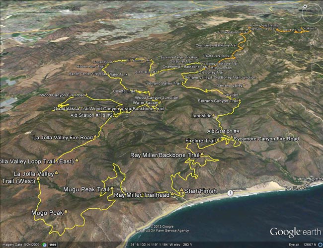
Here’s an interactive, 3D terrain view of the 2013 Ray Miller 50K course, with the 50 mile option marked in orange. Mileages and locations are approximate and based on my 50K GPS track.

Many thanks to R.D. Keira Henninger and her support crew, the great volunteers, the sponsors, and all the runners for an outstanding event! Check the Ray Miller 50/50 web site for additional details and all the results.

Runner’s blogs/web sites: Dylan Bowman, Amy Sproston, Timothy Olson

Some related posts: You Can’t Run Just Part Way Up Serrano Canyon, Serrano Valley from the Chamberlain Trail, Return to Hidden Pond, Coastline From Mugu Peak

Bandit Country II

Rocky Peak Park

February is a busy month for SoCal trail runners. The Ray Miller 50/50 is Saturday, February 2; the Bandit 50K/30K/15K/6K is Sunday, February 17; the XTERRA SoCal Series continues February 3 at Mission Gorge; and the Big Baz Winter Trail Run Series continues on February 2 & 16 at Blue Jay Campground.

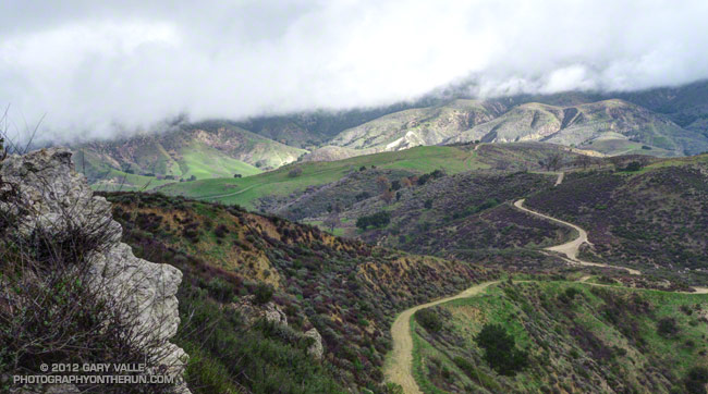
Yesterday’s run to Mugu Peak included several of the trails on the Ray Miller Course, so this morning I got in some miles on the Bandit trails. The title photo was taken near the high point of the Bandit 50K and 30K courses in Rocky Peak Park.

This year, rather than doing two Chumash – Las Llajas loops, Bandit 50K runners will do a new out and back segment in Tapo Canyon Open Space to Tapo Canyon Rd. Both 50K and 30K runners we’ll run up Las Llajas Canyon — in the distance on the left — and then up from the old oil field to Rocky Peak Road. After a short downhill Rocky Peak Road climbs to “Fossil Point” the high point of the course.

Related post: Bandit 50K 2011 Notes

Whiskey Flat Trail Burger & Double Burger Run 2012

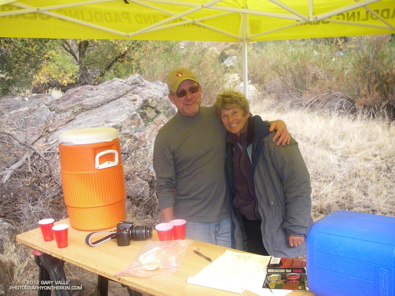
Aid station near Corral Creek

Was that rain I heard outside of the motel? Bleary-eyed, I grabbed my phone and checked the current weather radar. If it wasn’t raining, it would be soon. The radar showed an elongated patchwork of lime green blotches, sprinkled with yellow, approaching the blue dot marking the room in Kernville, California.

It looked like the front was going to pass through a bit earlier than forecast — right about the time we would be starting the 50K. The good news was there didn’t appear to be a lot of shower activity behind the front. Whether that would be the case in the middle of the day remained to be seen.

The annual Run-4-A-Way Burger Run follows the 14.5 mile Whiskey Flat Trail from the Burlando Trailhead in Kernville up the Kern River to Johnny McNally’s Fairview Lodge and Restaurant. This year R.D. Mike Lane had added a 50K. That’s what I was running. The “Double Burger” would do the trail both ways — from McNally’s down to Kernville and then back again.

It was rainy, dark and gloomy as we drove up Mountain 99 toward McNally’s. I like the rain as much as anyone in Southern California, but hoped the radar was right, and we wouldn’t have to deal with wet weather for the next several hours. I reminded myself that when the weather looks wet and rainy it’s (almost) always better on the trail than it looks like from the car.

Up at McNally’s Donni and Neil got us signed in, handed out the bib numbers and T-shirts, and got us started at 7:01. There were just a few of us running the 50K and the faster runners were soon out of sight. They would make it down to Burlando in less than 2.5 hours.


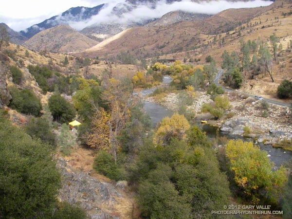
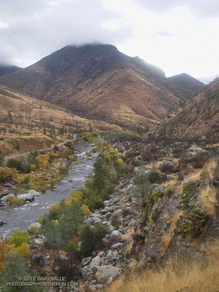
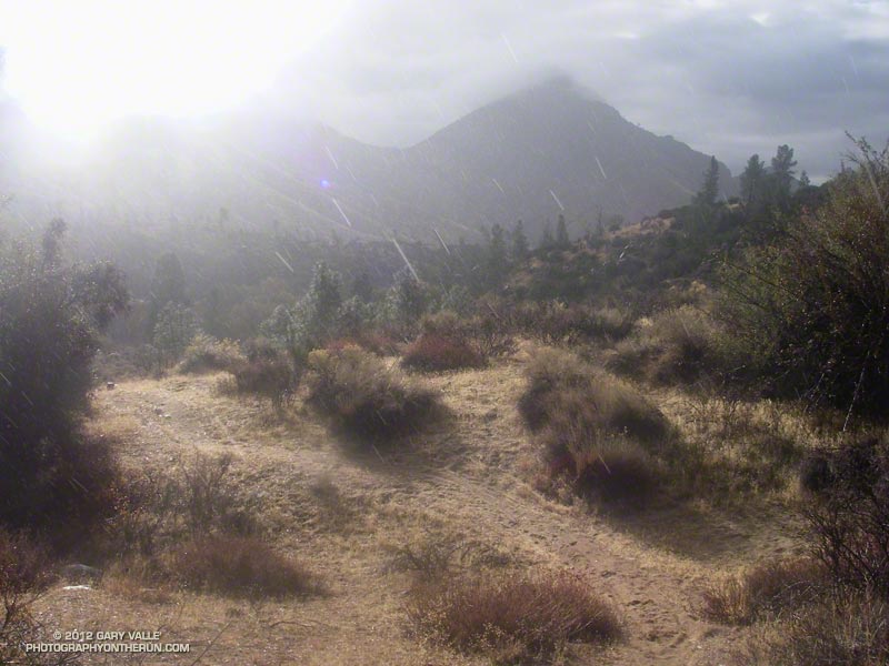
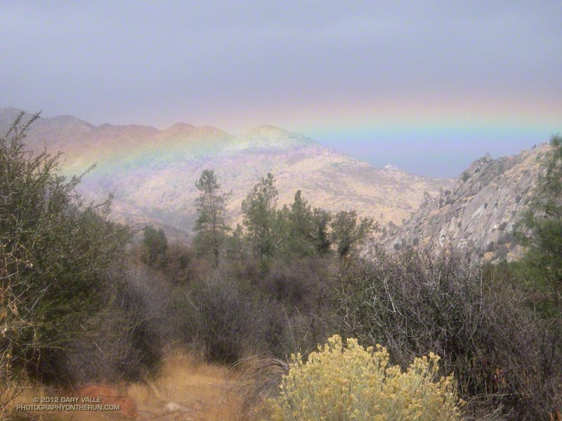
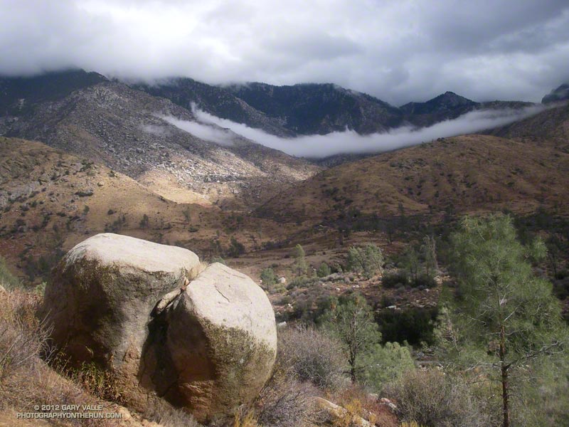
Whatever your pace, the running was spectacular! The light rain turned to showers after the first few miles. On the higher mountains snow could be seen along the margins of the clouds.  From time to time the sun would break through the clouds, illuminating the valley. At one point showers and sun mixed in dazzling display.

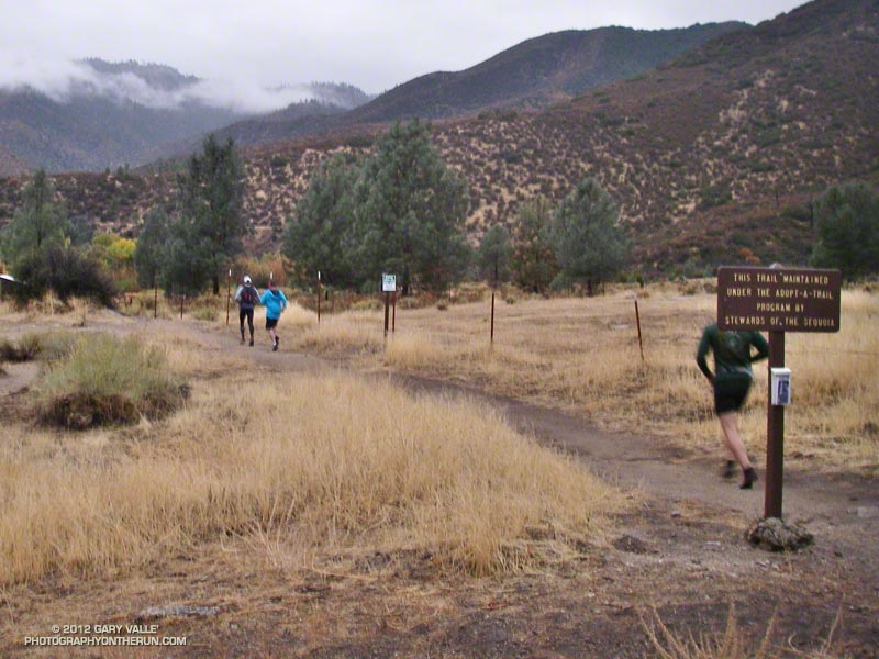
The Whiskey Flat Trail was in great shape. According to Stewards of the Sequoia Executive Director Chris Hogan, volunteers worked 500 hours to restore the trail — clearing brush, improving the tread, removing down trees, and installing water bars to control erosion. Their hard work, and the work of other volunteer trail maintenance groups, keeps our trails open and enjoyable.

Although I wasn’t particularly speedy, the run went well for me. I ran the race in Hoka One One Mafate 2s. The Mafate 2s are way different from the shoes I’ve been using in ultras. The Double Burger 50K is 100% single track and the shoes handled it well. Whether it was the shoes, the weather, my pace, or whatever I don’t know; but my legs and feet felt better (and I felt better) over the last several miles of the course than in any 50K I’ve done the past few years.

Many thanks to Mike Lane, Donni & Neil Higgins, John Seals & Lisa Ross, McNally’s, all the volunteers, and all of the hikers & runners for a great event! Here’s an interactive Cesium browser View of the Burger Run course and an elevation profile generated in SportTracks.

Related post: Whiskey Flat Trail Burger Run 2011

Here are a few additional photos from the run. Click for a larger image:


Whiskey Flat Trailhead


Sun Shower


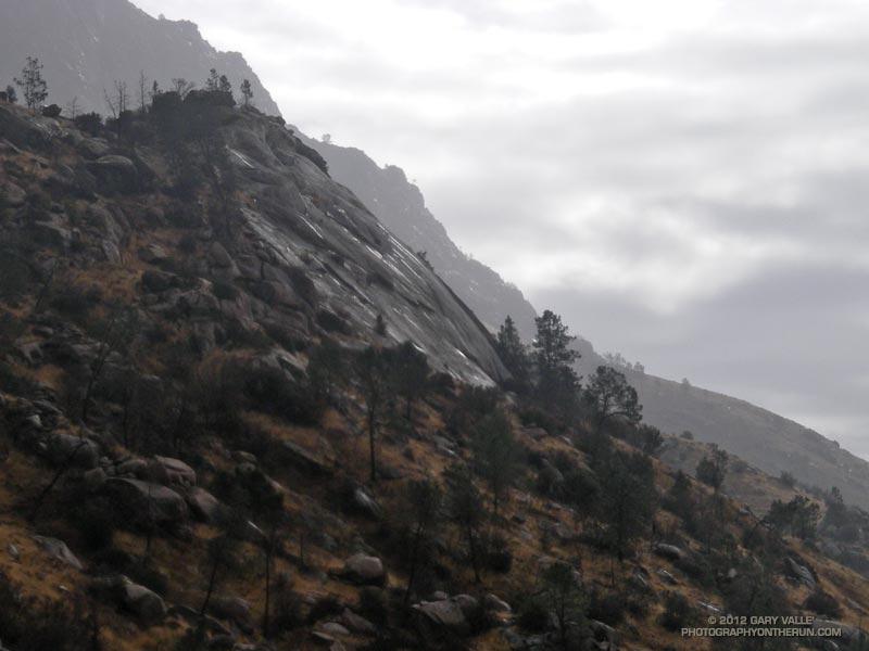
Granite Slabs


Rainbow


Aid Station


View Downriver

Bulldog Recovery Run

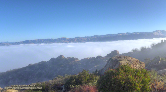
Marine layer in Simi Valley from Sage Ranch Park

I like to do a short recovery run the day after a 50K. An early morning run helps smooth out the tweaks and twinges of the race, and a lingering runner’s high brightens the senses and the day.


Weather-wise, the timing of the Bulldog 50K/25K was perfect. Yesterday was one of the coolest of the cool wave. Today temps were already on the way up. Here’s a chart comparing the air temperature in the shade at the Malibu Canyon RAWS (near Tapia Park) for the last seven Bulldog races, and a similar chart with the fuel temperature in the sun.

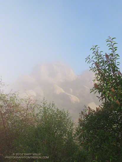
As at the top of the Bulldog climb, vaporous clouds drifted among the rocks, trees and chaparral at Sage Ranch Park. Heavy dew coated the plants along the trail, and the night-cooled droplets felt like splashes of ice water on my legs. Below, a pillowy layer of clouds filled Simi Valley. I jogged along the trail, legs tired, but feeling good.

Cooler Weather Forecast for Bulldog 50K/25K

Bulldog 50K/25K course in Malibu Creek State Park

Updated Thursday, August 30, 2012.

Following two weeks of scorching temperatures and a torrid Mt. Disappointment 50K, it looks like we’re going to catch a break and the weather for the Bulldog 50K/25K this Saturday is going to be cooler — cooler than last year and cooler than what we’ve been seeing recently.

How much cooler? During our recent heat wave the Malibu Canyon Remote Automated Weather Station (RAWS) near Tapia Park recorded temps as high as 102°F, and highs were routinely in the 90s. On race day last year temps here topped out at 101°F. Yesterday the high was 80°F and forecasts suggest the high Saturday should be about the same.

But for runners these temps don’t tell the whole story. These are “in the shade” temps recorded by a specially shielded and ventilated sensor. In addition, the humidity — even if it’s not East Coast humid — can have a big impact on what the temperature feels like and how it affects running performance.

In my experience a better measure of the temperature a trail runner experiences in races such as Bulldog is the “fuel temperature.” This is the temperature of a ponderosa pine dowel in direct sun. In the recent heat wave and at last year’s Bulldog race the “in the sun” fuel temps at the Malibu Canyon RAWS topped out at a fiery 112-115°F. Yesterday, when the air temperature was 80°F, the fuel temperature at that station was around 100°F.

Humidity can also play an important role and it doesn’t have to be super-high humidity to affect a runner. The NWS Heat Index attempts to account for the combined effect of temperature and humidity. Heat index tables can be misleading. As the NWS notes, “…heat index values were devised for shady, light wind conditions, exposure to full sunshine can increase heat index values by up to 15°F.”

Last year at around 3:00 pm when the last few runners were making their way up the Tapia Spur Trail the “in the shade” air temperature recorded by the Malibu Canyon RAWS (near Tapia Park) was 99°F, but the “in the sun” fuel temperature was 114°F. The dew point (a measure of humidity) at the time was 63°F, and this would have pushed the “feels like” temperature even higher.

We shouldn’t see anything like that this year.

Update Thursday, August 30, 2012. Here’s a chart comparing the air temperature in the shade at the Malibu Canyon RAWS (near Tapia Park) for the last seven Bulldog races, and a similar chart with the fuel temperature in the sun.

Update Sunday, August 26, 2012, 12:00 pm. Race day (Saturday) at Malibu Creek State Park dawned cool and cloudy with the marine layer once again about 2200′ deep. At the beginning of the race the temperature at the Malibu Canyon RAWS (near Tapia Park) was 63°F. As on Friday the marine layer didn’t start to break up until around 9:45 am, so for many runners the entire first loop was cloudy and relatively cool. The first time up Bulldog we ran up into the clouds and eventually broke out above the cloud deck near the top of the climb — it was spectacular! The clouds had cleared by the time I reached the Bulldog aid station on the second loop. Even though temps were warmer the second time around, it seemed that just when you needed it there was always a cooling breeze!

At 11:00 am at the Malibu Canyon RAWS the “in the shade” temperature was 73°F and the fuel temperature was 96°F. This was only about an hour after the clouds cleared, so the actual “in the sun” temperature was lower than the RAWS fuel temperature. Even though the air temperature stayed under 80°F all day, and “in the sun” temps were not as hot as they might have been, the ice water sponges at the aid stations still felt really good! It was a great day for a 50K!

Update Friday, August 24, 2012, 2:00 pm. Satellite imagery showed clearing in the Malibu Creek State Park area in progress around 10:00 am. An hour later the temperature at the Malibu Canyon RAWS (near Tapia Park) was 73°F and the “in the sun” fuel temperature had jumped to 96°F. At 2:00 pm the “in the shade” temperature was up to 78°F and the “in the sun” fuel temperature was still 98°F. Temps should be similar tomorrow for the race. We’ll see!

Update Friday, August 24, 2012, 8:00 am.
NWS Los Angeles/Oxnard reports marine layer about 2200′ deep this morning. The top of the Bulldog climb is at about 2400′ ASL. The extent of the low clouds and fog can be seen on various CalTrans cameras along the 101 Frwy via SigAlert.com. A marine layer this deep will probably delay clearing and keep temps cooler. Yesterday at 11:00 am the Malibu Canyon RAWS (near Tapia Park) reported an “in the shade” air temperature of 71°F and an “in the sun” fuel temperature of 90°F. Temps peaked at about 2:00 pm with an air temp of 79°F and a fuel temp of 100°F. We’ll see what happens today!

Thursday, August 23, 2012. At the moment it looks like the “in the shade” temperature at 11:00 am race day near Tapia Park should be around 78degF, with an “in the sun” temp approaching 100degF. The marine layer depth at the start of the race should be around 1000′ with a layer of low clouds (possibly broken) that should clear before most of us complete the first 25K. We’ll see!

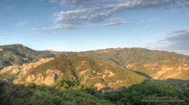
The title photo is from a run in Malibu Creek State Park on Saturday. The Bulldog climb is on the right side of the photograph. The Corral Canyon aid station is on the low point of the skyline a little left of center, and the “gateway” rocks farther left on the skyline.

Some related posts: Bulldog 50K 2010 Notes

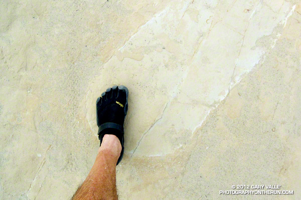
Bulldog Trail Runs Bans Toed Running Shoes

Heads up if you were planning to run the 2012 Bulldog 50K or 25K in toed running shoes. The following new rule is specified on the Bulldog Race Rules page:

“Barefoot sports shoes or toed running shoes will not be permitted to be worn at the Bulldog Trail Runs; no exceptions!”

Last year the U.S. Army banned toe shoes because of “lack of conformity with the Army’s conservative professional appearance.”