Category Archives: trails|smmc open space

California State Park Closures


Click to start slide show...

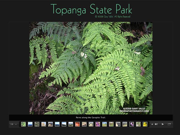
Click image above to start slide show.

Update May 30, 2009. In a Draconian measure that could close over 200 of California’s State Parks, Gov. Schwarzenegger has proposed cutting the State Parks core funding in half begining July 1, and then would eliminate ALL core funding in a year. For more information see the California State Parks Foundation web site.

Update May 18, 2008. Gov. Schwarzenegger’s revised state budget, released May 14, rescinded the funding cuts that would have resulted in the closing of 48 California state parks. For now it appears these state parks will remain open.

Following is the original post from February 2, 2008:

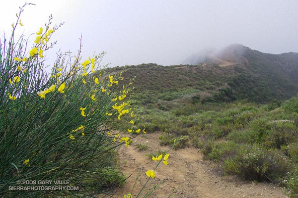
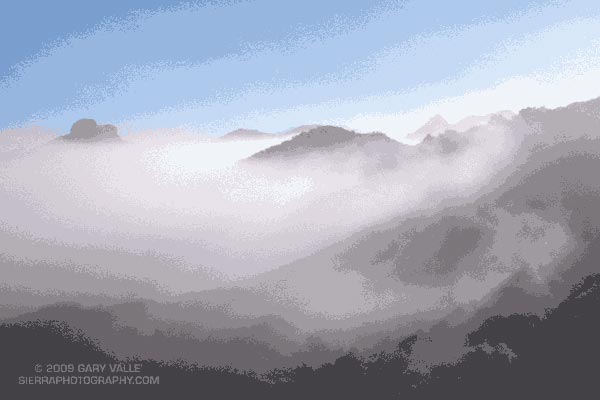
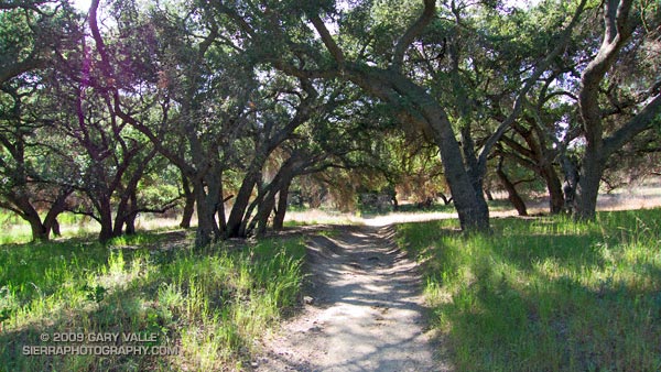
What a fantastic morning! Taking advantage of a break in a series of Southern California rain storms, I was running on Fire Road #30 near the entrance of Topanga State Park. The sun had found its way through a broken layer of clouds, and bright patches of sunlight highlighted the rugged terrain. Down in a steep canyon on my left, wisps of steam wafted from the chaparral.

Following an  “On your left!” a group of mountain bikers swept past. Working up the hill toward the Hub, good morning’s were exchanged with other runners, hikers and cyclists.

Many of us live and work in California because of its diverse open spaces, parks and wilderness areas. Incredibly, this popular urban park, along with Will Rogers State Historic Park, Santa Susana SHP, Los Encinos SHP, Mt. San Jacinto SP, and forty-four other California State Parks have been slated for closure in the fiscal year 2008-09 California state budget.

According to an article in the Los Angeles Times, the selection was made according to the dour formula of those parks “that had the fewest visitors, produced the least revenue and would be the easiest to close off to visitors.”

This formula necessarily targets less developed parks, such as Topanga State Park, ignoring those intrinsic values that make a park a park. The formula targets walk-in parks, and the hikers, cyclists, riders, and runners that simply enjoy the outdoor experience. The formula targets day use parks in urban areas that don’t need campgrounds or additional services. And, the formula targets those with less to spend on recreation.

So is this how we are to appraise the value of our public lands? Closing our state parks would be astonishingly short-sighted. Their varied trails, terrain, and habitats are accessible to millions, providing a therapeutic escape from the rigors of city life, and experiences and insights that can only be gained from the out of doors.

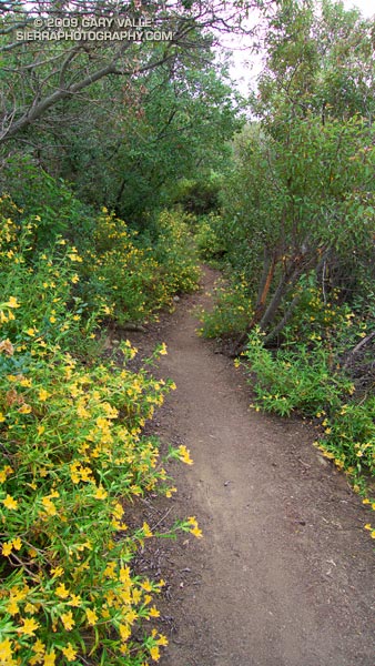
Today I was doing one of my favorite runs in Topanga State Park. It links several trails and visits several popular destinations in the park — the Hub, Parker Mesa Overlook, Trippet Ranch, Eagle Rock, and the Musch, Garapito and Bent Arrow Trails.

This two minute slide show  (Flash – requires extension) is a compilation from a few such runs. It is a small selection of photographs from one set of trails, in just one state park.

For more information regarding Topanga State Park, see the Topanga Canyon Docents and California State Parks web sites.

Spanish Broom on Calabasas Peak – and the Altiplano?

Spanish broom near Calabasas Peak.

Saturday, I’d run in the Malibu Creek Challenge 22K. Today I Wanted to do something low key. Not too long, not too steep, but still a run that would work out the kinks that follow a race. I finally settled on the Secret Trail to Calabasas Peak, a 4.25 mile course with an elevation gain/loss of around 750 ft.


Bush monkeyflower along the Secret Trail.
The low clouds and fog that surged into the Santa Monica Mountains on Saturday had returned during the night. The mustard and monkeyflower along the trail were soaked with dew, and now, so was I. Running felt good, and the two or so miles to the peak passed quickly.

The sun had nearly burned through the morning overcast, and just below the summit of Calabasas Peak, the bright yellow flowers of a Spanish broom seemed to capture and concentrate the subdued sunlight.

Spanish broom (Spartium junceum) is a twiggy, green shrub that originated in the Mediterranean. It is common at lower elevations of our local mountains. According to the California Invasive Plant Council it was introduced as an ornamental in San Francisco in 1848, and planted along highways in Southern California in the 1930s. Its color and fragrance are distinctive.

Prior to running the Inca Trail we did an acclimatization run at 11,000 ft on the altiplano near Chinchero. The very first flower I saw on the run was a Spanish broom! This suggests that Spanish broom could spread to higher elevations of the San Gabriel Mountains, particularly if climate change results in more arid conditions.

Some related posts: Peru Running, Secret Trail to Calabasas Peak, Tapia Bound

Malibu Creek Challenge 2009

I glanced at my watch — 5.25 miles. Clouds and fog had kept temps on the cool side for more than three-quarters of the Bulldog climb, but the sun was finally breaking through. Even though temps were down a few degrees, the long climb had still been grueling. The runner next to me was breathing heavily, and I mentally repeated my Bulldog mantra — don’t redline, don’t redline.


Malibu Creek Challenge 22K Elevation Profile
For many of us, that’s the problem with Bulldog — some of it is runnable and some of it isn’t. For the moment I was running, but I knew the grade well, and just ahead the fire road switchbacked right, and steepened.

I’ve been over the “I can run this hill no matter what” thing for a long time. For me, and the majority of trail runners, walking the steeps is a good thing. The little bit of time lost by walking is generally made up — and more — on other sections of the course.

Rounding a corner, the grade did steepen, and I slowed and started to walk. Taking advantage of the slow pace, I ate a Gu, took a Salt Stick cap, and gulped down some Gatorade. Another runner and I had been swapping leads up the hill, and he passed me — again. As he increased his lead, I wondered if I should be pushing a little harder.

A left turn never felt so good! A few minutes before I had reached the top of Bulldog grade, and the highest point on the course. Now gravity was on my side, and I was enjoying the downhill. There were more challenges ahead, but for now I was lost in the moment — savoring the wind in my face, the far reaching views along the rocky crest, and that wonderful feeling of being a runner.

Here’s a Cesium browser View of a GPS trace of the 22K course with my half-mile splits. (Generated in SportTracks.) See the XTERRA Malibu Creek Trail Run web page for race results and additional info.

Some related posts: Malibu Creek State Park Shadow & Sun, Fog Along Malibu Creek, Bulldog Loop and the Corral Fire, Rock Formations Along the Backbone Trail

Classic Cheeseboro Canyon

Cheeseboro Canyon

The 13 mile keyhole loop through Las Virgenes and Cheeseboro Canyons from the Ahmanson Victory trailhead is a classic Southern California mix of multi-use fire roads and single track trail.

The segment from Shepherd’s Flat down through Cheeseboro Canyon is especially popular, and on the weekend you’ll find an assortment of hikers, runners, mountain bikers, and sometimes an equestrian group or two. Even on a warm day, the oak-shaded sections of the canyon can be surprisingly comfortable.

Here’s a Google Earth image and Cesium browser View of a GPS trace of the loop, and links to trail maps for Upper Las Virgenes Canyon Open Space Preserve (formerly Ahmanson Ranch) and Cheeseboro/Palo Comado Canyons.

Overcoming Obstacles on the Trail

Part of the fun of running trails is the challenge of overcoming obstacles that may block your progress. These can range from fallen trees and swollen streams, to rattlesnakes and rockslides — or as was the case yesterday on Lasky Mesa in Upper Las Virgenes Canyon Open Space Preserve, the occasional stray truck.

The truck was part of a assemblage of vehicles associated with a production company. The Ahmanson Ranch area is favored for film production, and classics such as Gone with the Wind, They Died With Their Boots On, The Charge of the Light Brigade, The Thundering Herd, and Duel in the Sun were filmed here. More recently, the bridge scene in Mission Impossible III was shot here.

Rocky Peak Running Weather

View northwest from Rocky Peak

Brrr… I picked up the pace — even with long sleeves it was COLD on Rocky Peak Road. Another in a series of blustery April systems was stirring up the weather in Southern California. Thickening clouds spritzed rain, and a belligerent wind told me in laughing gusts that I could not run fast enough to stay warm.

Occasionally a patch of sun would find its way through the clouds, briefly warm and encouraging. I needed only  to think of the 100 degree days ahead to appreciate the chilly temps.

Another cool system is forecast to move through Southern California on Friday, bringing with it a chance of rain — and more great running weather. Easter weekend should be spectacular!

Some related posts: Simi Valley from Rocky Peak, San Fernando Valley from Rocky Peak