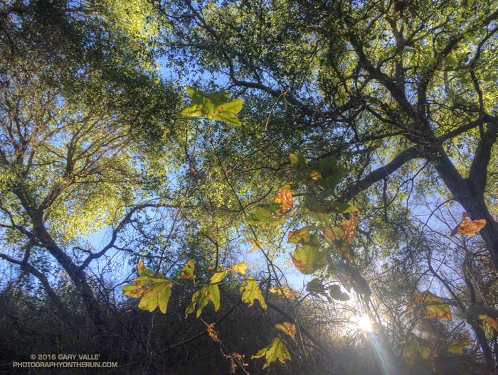
From this morning’s run to Temescal Peak, Eagle Springs, Trippet Ranch, Eagle Rock and Garapito Canyon.

From this morning’s run to Temescal Peak, Eagle Springs, Trippet Ranch, Eagle Rock and Garapito Canyon.
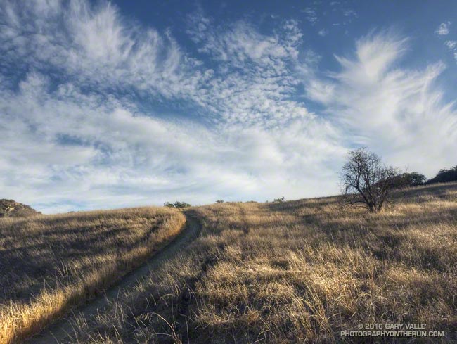
Long shadows and feathery clouds on the Musch Meadow Trail in Topanga State Park early this morning.
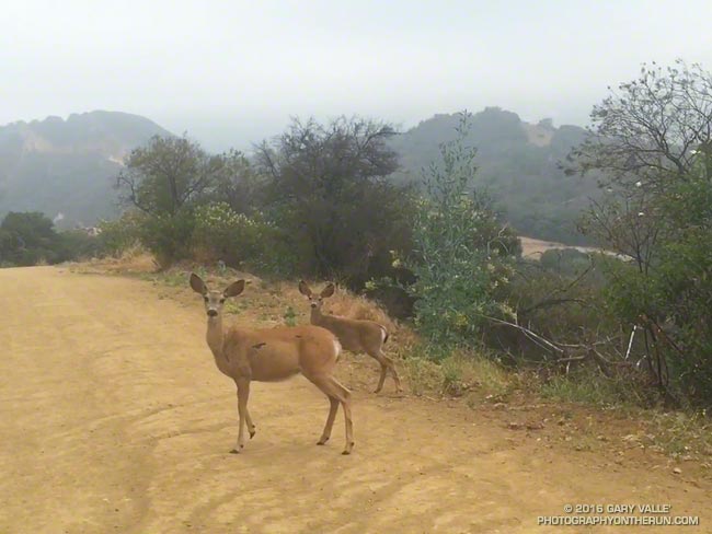
Mule deer are common in the Santa Monica Mountains. I see them most frequently in Topanga State Park, near Trippet Ranch, and in Malibu Creek State Park.
This video snapshot is of a recent encounter with three mule deer while running down Eagle Springs Fire Road to Trippet Ranch.
My intent was to try and walk past without scaring them. One doe did not run, but the youngster and its companion were more skittish and didn’t quite know how to react.
In some situations a bolting deer can be a real problem. Two friends running in Topanga State Park rounded a corner and were suddenly confronted with a spooked buck running toward them. There was a steep hill on one side and a cliff on the other. In the narrow confines the buck collided with one of the runners, hitting his shoulder and knocking him to the ground. All things considered he was very lucky. The bucks head was up, so the collision only resulted in a sore shoulder and some trail rash.
Some related posts: Trippet Ranch Mule Deer, Musch Trail Mule Deer
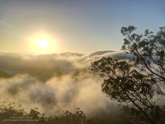
From near the Hub, in the Santa Monica Mountains.
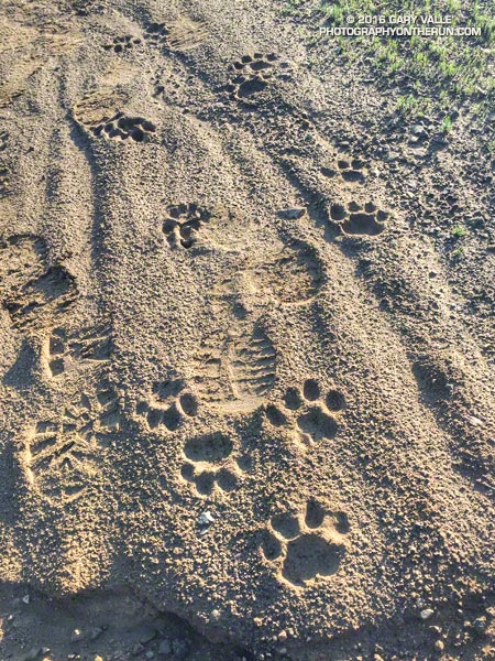
Like dust reveals a sunbeam, rain reveals the presence of our elusive Santa Monica Mountains mountain lions.
I first noticed the tracks on Temescal Ridge Fire Road #30 more than a half-mile below the Hub (running from the end of Reseda) and then followed them past the Hub on Fire Road #30 to its junction with the Backbone Trail. After a short detour up Temescal Peak (no tracks), I returned to Fire Road #30 and followed the lion’s tracks back to the Hub, then down Eagle Springs Fire Road to Eagle Springs and past the fire road’s junction with the Musch Trail.
It looked like the tracks were made sometime between yesterday evening, after the rain, and early this morning.
The total distance I was able to follow the tracks was around three miles. Although I had to turn around a little past the Musch Trail, I’d guess the lion was headed down to Trippet Ranch.
Some related posts: Mountain Lion Tracks on Rocky Peak Road, Mountain Lion Saga
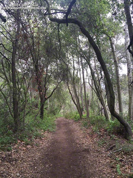
OK, the last few miles of last Saturday’s long run were a bit of a struggle. But the run was also a bit strenuous, so I tried not to read too much into it. The following morning I was up early enjoying the Winter green along the Garapito Trail. That run went well enough, but the weekend left me wondering if my revised training plan was going to work.
The plan for today was to do around 26 miles, but the question was what kind of 26 miles and where? After debating several options I finally settled on a run from Marvin Braude Mulholland Gateway Park at “the end of Reseda.” The route would merge the Will Rogers – Temescal Canyon loop with the Trailer Canyon – Santa Ynez Canyon – Trippet Ranch loop. The term “loop” is used loosely here, just meaning that the run starts and ends in the same place, but isn’t an out & back.
I’d done the loop a couple of years ago and my recollection was that it was around 26 miles with an elevation gain of something over 5000′. It’s a good run to do self-supported since water is usually available at Will Rogers, Temescal Canyon and Trippet Ranch. It can be brutal on a hot day, but that’s true of most lower altitude runs in Southern California.

Hot temps were not going to be my problem today. Mostly cloudy skies were forecast with very light rain in the morning. The heavier rain was supposed to hold off until around midnight. It had already rained a little when I left for the trailhead, but conditions were supposed to improve during the middle of the day.
Running up to the Hub I had no clue how the run was going to go. I usually don’t until 2-3 hours into a long run. At around two hours I was at Will Rogers and feeling pretty good. At three hours I was nearing the “waterfall” in Temescal Canyon and at four making the turn left down Trailer Canyon.
Usually the decision to turn down Trailer Canyon is a painful one. You’ve done all that work to get up to Green Peak on Temescal Ridge and now you’re going to run down Trailer Canyon and give it all away? Today, for some reason, losing all that elevation and then having to gain it back again wasn’t a big deal — it was just another part of the course.
The run continued to be uncomplicated until near the rock slabs in Santa Ynez Canyon, when I decided to check the mileage on my Garmin. 20.2 miles… Hmm, that seems a little long… Is it only six miles back to Reseda? I don’t think so…
I still had over a mile to the Trippet Rnach parking lot and from there my usual route back to Reseda on the Musch, Garapito and Bent Arrow Trails would be around 7 miles. I briefly debated shortening the route. The thing is, despite last week’s issues, I felt good and the run was going well. The conditions were perfect, so why not run the route as planned?
As things turned out today’s run was 5 miles longer than last Saturday’s and had about the same elevation gain. Somehow that translated into a 30 minute faster run than last week and legs that weren’t stiff or crampy.
What changed from last week to this week? If only I could figure that out!
Some related posts: Will Rogers – Temescal Loop, Chilly Los Angeles, Clouds, Canyons and Wildflowers, Garapito Trail Runs