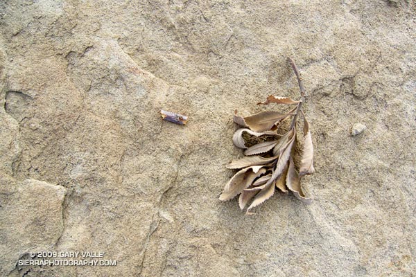
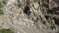
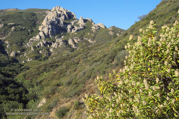
As found on Sunday’s run at Sage Ranch Park.

As found on Sunday’s run at Sage Ranch Park.
Note: The Mt. Disappointment Endurance Run is now the Angeles National Forest Trail Race.
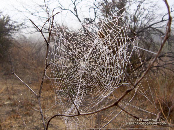
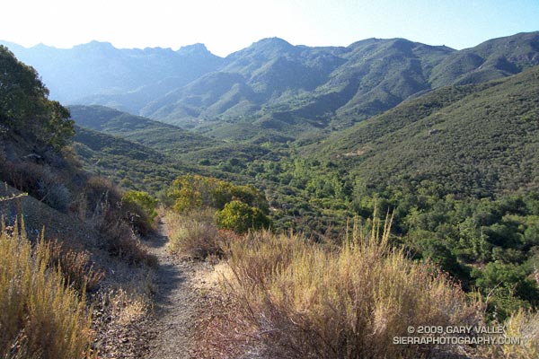
Or should that be ramping UP for Mt. Disappointment? Anyway, started tapering for the Mt. Disappointment run next Saturday. Did the 13 mile Cheeseboro Canyon keyhole loop from the Victory Trailhead of Ahmanson Ranch yesterday, and then stretched the legs at Sage Ranch today. Both mornings were cool, with low clouds and fog — very pleasant!
Here’s hoping for “not too hot” weather for the race. At the moment, the GFS and ECMWF weather models show a weak upper level trough moving through California in the Friday-Saturday timeframe. Such a scenario should increase the chances of “seasonable” temps for the race — which would still be quite warm, but maybe not crazy hot.
Update Friday Morning 8/07/09. Broad upper level trough over California this morning is keeping things cool. Yesterday the high recorded at Mt. Wilson was 70, and the low overnight was 48! Southern part of the trough is forecast to hang back over Southern California through Saturday, which could result in temps a little BELOW normal for the Mt. Disappointment race. We’ll see!
Related post: Mt. Disappointment 50K 2008 Notes
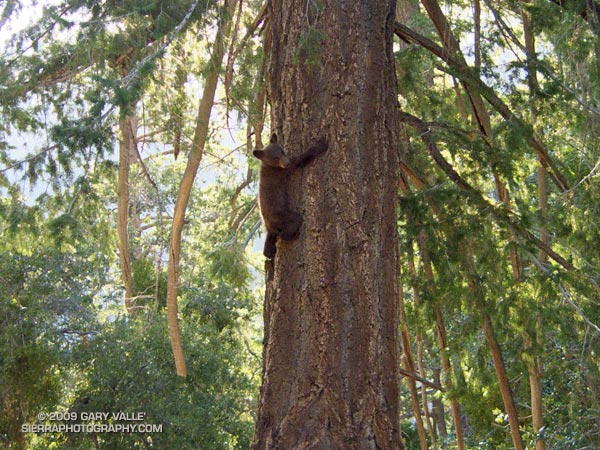
The thing about a dangerous situation is that you almost never see it coming. In an instant a pleasant adventure can turn really serious. We were in the San Gabriel Mountains about 2 miles down the little used South Fork Trail, and 20 minutes from Islip Saddle, when my running partner shouted, “Do you see that!”
From the tone of her voice I knew it was something serious. My first thought was a mountain lion, but then I saw it — a bear cub clinging to a tree on the trail ahead. Sh*&! How many times had I told friends that I didn’t worry too much about black bears, “unless, of course, it’s a mother with her cubs.”
Where was Mom? She had heard us coming down the trail, but apparently only had enough time to send her cub up the tree, and take cover. Not good, and potentially very dangerous. We couldn’t see Mom, we couldn’t hear Mom, but knew she was nearby. Most likely she was in the thick brush on the steep slope below the trail.
Suddenly, the cub scurried higher in the tree, its long claws digging noisily into the bark of the tree. That’s when we saw that there were two cubs! The noise startled me, and I wondered if Mom — wherever she was — would react.
After a quick assessment, we walked quietly by the tree, and in a second or two started to jog. In a matter of seconds we were out of danger. It was fortunate that there were two of us and we were relatively noisy. A solo runner would have almost certainly surprised the mother with her cubs.
After a time the adrenalin subsided, and the rest of the run went very well. Temps were not quite as hot as expected on the low part of the course, and were pleasantly cool on Mt. Baden-Powell. Both the South Fork Trail and Manzanita Trail had been recently maintained. Some slides and washouts remain, but these are an integral part of the adventure and character of this trail run.
Update October 8, 2009. Here’s a video of the cubs and Mom taken a couple of months after our encounter. The cubs have grown! The video is from Johanna Turner’s YouTube Channel, which has fascinating footage of mountain lions, bears, deer, bobcats, foxes and other animals found in the mountains near Los Angeles.
More info about the approximately 23.5 mile course can be found in the post Islip Saddle – Mt. Baden-Powell South Fork Loop.
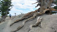
Related post: Wally Waldron Limber Pine
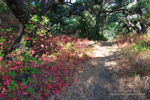
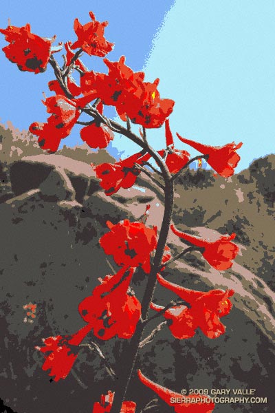
Poison Oak Along the Blue Canyon Trail.
Since nearly all my weekday runs are in the afternoon, on Summer weekends I usually like to escape the heat and do a run in the mountains — the higher, the better. But today even the mountains were going to be hot. Hot enough that the National Weather Service had issued an Excessive Heat Warning for a combination of heat and humidity that would “create a dangerous situation in which heat illnesses are likely.”
It would be cooler at the higher elevations of the Sierra, but there was good chance of thunderstorms developing along the crest of the Sierra, as well as most of the higher mountains of Southern California. Considering the options, I finally decided to do an early morning run in Pt. Mugu State Park. If I was going to run in the heat, it might as well be a scenic run close to home. Maybe the weather in the mountains would be better next weekend.
There are many excellent courses at Pt. Mugu State Park. The course I was doing today is a “backward” variant of the Boney Mountain Half Marathon Course — up the Old Boney Trail, down to the Danielson Multi-use area, up Ranch Center fire road to the Hidden Pond Trail, and then back on the Upper Sycamore Trail. Water is normally available at Danielson Multi-use area and at the start of the Upper Sycamore Trail.
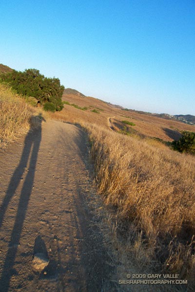
I should have started the run at dawn, but instead ambled along a section of the Satwiwa Loop trail at sunrise. The light was muted and golden, stretching my shadow well out on the trail ahead. Cool trickles of air filled each dip and gully and I wondered how long the temperate conditions would last. Ironically, the last time I had done this course it had been blustery and cold, and there had been snow on the mountains above Ventura. Not today…
It was warm running up the east facing section of the Old Boney Trail, but not yet hot. The crags to the west of the Danielson cabin site, gleamed in the morning sun, and for a brief instant I debated climbing the ridge. The impulse passed, and once over the shoulder of Boney Mountain, I thoroughly enjoyed the (mostly) downhill running through the Boney Mountain Wilderness to the Blue Canyon Trail junction. Cool air draining from the shaded slopes of Boney Mountain kept temps reasonable in the canyon, and the running was good all the way to the Danielson Multi-use area.
At the Multi-use area there is a choice. The coolest and most direct route to the Upper Sycamore Trail is up shaded (and paved) Sycamore Canyon road. But with the Mt Disappointment race looming, I wanted to get in more time and elevation gain, so opted for the longer, more exposed route up the Ranch Center fire road, and then along the ridge on the Hidden Pond Trail. Yes it was hot, and the humidity was up a bit, but it was still scenic and enjoyable in a “I’m not going to let the heat get to me” kind of way. And I knew a water faucet was waiting for me at the point where the Hidden Pond Trail rejoins Sycamore Canyon road, and the Upper Sycamore Trail continues eastward.
Maybe it was the heat, or maybe the coyote had learned to scavenge food from hikers — whatever the case the coyote ahead of me on the Upper Sycamore trail didn’t seem to be in any particular hurry to get off the trail. Coyotes are an odd sort, very intelligent and adaptable, but in my experience not normally any kind of threat.
Usually they will scurry away from a runner. This coyote wasn’t scurrying anywhere. I picked up the pace and clapped my hands, and eventually the animal grudgingly took cover to the side of the trail. But, as it turns out, only about 4 feet off the trail. This was odd, brazen behavior, and I kept a wary eye as I passed.
The final challenge of the morning was the hot climb up to Satwiwa on the Danielson road from the end of the Upper Sycamore Trail. The hill isn’t long or particularly steep, but it faces directly into the sun. With the heat of the day building, it wasn’t easy.
Overall it was an excellent run that would have been even better with an earlier start. Here’s a Cesium browser View of a GPS trace of the approximately 14.5 mile route.
Related post: Big Sycamore Canyon Circuit
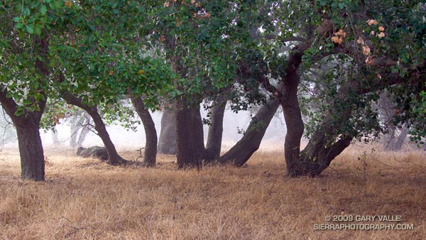
From a run at Sage Ranch earlier this Summer.
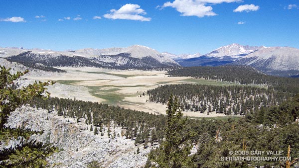
The photograph of Siberian Outpost and Mt. Kaweah was taken from the Pacific Crest Trail, north of Chicken Spring Lake, while running the 22 mile Cottonwood Pass – New Army Pass loop — an outstanding high mountain course that is nearly all above 10,000′.
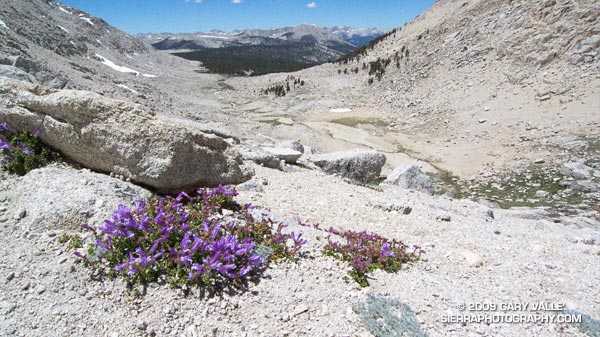
The large treeless area is Siberian Outpost. Reminiscent of an expanse of tundra, an exposed camp here would certainly have the windswept, isolated character of the north. The high peak on the right side of the photograph is Mt. Kaweah (13,802′). To the left is Mt. Anna Mills and to the right, Mt. Guyot. The peaks of the Great Western Divide can be seen in the distance. Hidden from view, between Mt. Guyot and Mt. Kaweah, is the Kern (River) Trench near Kern Hot Springs.
In my experience the loop is a MUCH better run when done in the clockwise direction. Something to keep in mind, particularly in a heavy snow year, is that you approach New Army Pass from the west, and don’t get to see the snow situation on the steep, east side of New Army Pass until you get there — at about mile 13.
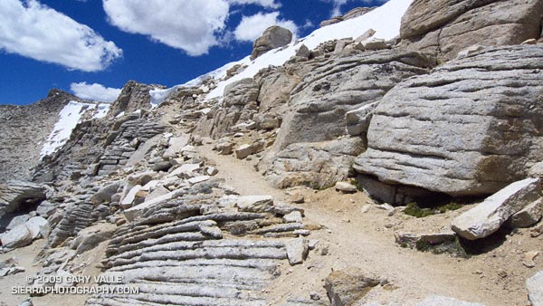
This wasn’t a heavy snow year, but the weather this Spring was cool and there were some late season storms. So it wasn’t a big surprise to find a steep patch of snow blocking the trail. With a light pack it was relatively straightforward to find a way around the snow, but earlier in the season, or in a heavier snow year, this might not be the case.
Additional info and photographs can be found in my posts Cottonwood – New Army Pass Loop and New Army Pass – Cottonwood Pass Loop. Here is a Cesium browser View of a GPS trace of the loop.