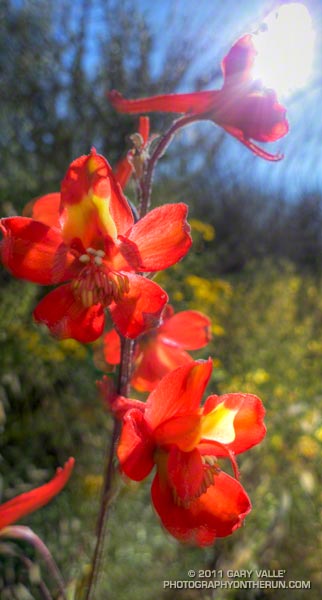
Another startling chaparral color is the red of scarlet larkspur (Delphinium cardinale).
From this afternoon’s (warm) run up the Chumash Trail to Rocky Peak Road in Rocky Peak Park.

Another startling chaparral color is the red of scarlet larkspur (Delphinium cardinale).
From this afternoon’s (warm) run up the Chumash Trail to Rocky Peak Road in Rocky Peak Park.
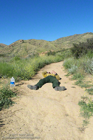
What the… Until I saw the water bottle and that the person was talking on a cell phone, I wasn’t sure what I was seeing.
Then there was the rattlesnake — well actually, the two rattlesnakes! Here’s an video snapshot of one of the rattlesnakes. This is an average size Southern Pacific rattlesnake. Because of our cool Spring weather they’ve been slow to appear, but are now out and about.
Some related posts: Big Southern Pacific Rattlesnake at Ahmanson Ranch, It was So Muddy That…, Overcoming Obstacles on the Trail
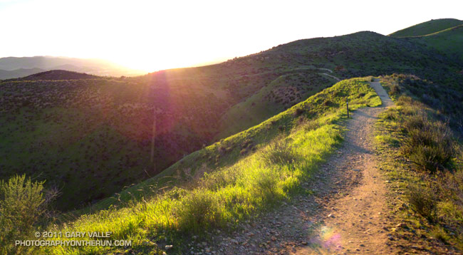
It’s now been 17 days since there’s been measurable rain at Downtown Los Angeles (USC). A trace of rain was recorded on a couple of days, but for the time being a big blocking ridge has shut the door on Pacific precipitation.
So far this January, only 0.58 of rain has been recorded, which is a little less than one-third of normal for the month. However, because of our frequent December storms the water year total at Los Angeles is currently about double the normal amount — and why open space areas of Southern California have turned so lush and green.
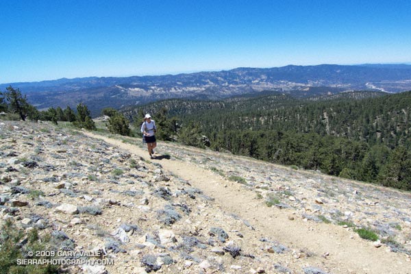
The out and back trail run from the Chula Vista parking lot on Mt. Pinos to the top of Mt. Abel is one of the best “short” mountain runs in Southern California. Most of the run is on the Vincent Tumamait Trail — a technical single track trail in the Chumash Wilderness in Los Padres National Forest.
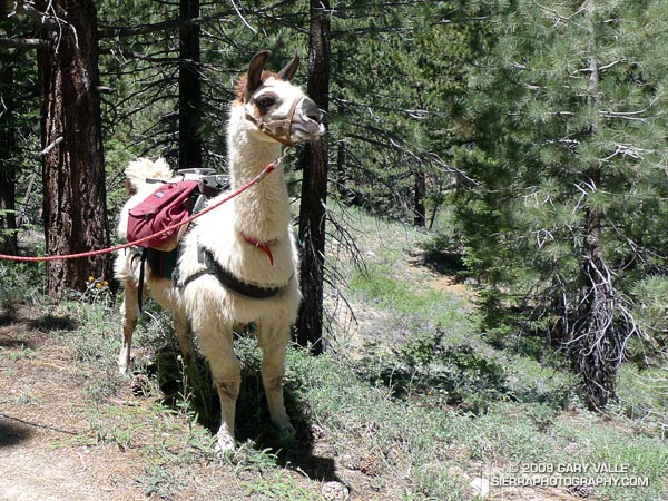 Ranging in elevation from about 7700′ to 8800′, the run packs a lot into its 15 mile length, combining great scenery with demanding uphills and superb downhills through old growth pine and fir forest. The summit area of Mt. Pinos is open and alpine with views that can range from the ocean to the Sierra.
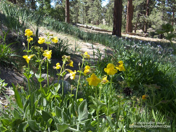 About 4 miles from the parking lot is the North Fork Trail junction. A short side trip on this trail leads to the seeps, spring and wildflowers at Sheep Camp. The Vincent Tumamait Trail ends at Cerro Noroeste (Mt. Abel) road, but it is not difficult to work up through the pines about 1/3 of a mile to the campground on Mt. Abel’s summit.
Usually about 20-30 degrees cooler than lowland hot spots such as the San Fernando Valley, the run is a great way to beat the heat on a hot summer day. See the post Vincent Tumamait Trail for more info and additional trail running options.
The title photo is of Lynn Longan, running up the switchbacks near the Condor Observation Site on Mt. Pinos.
Pleasant run on the Chumash Trail this afternoon.
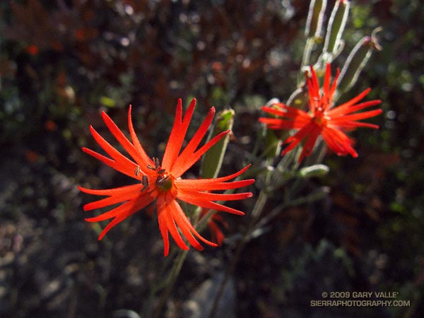
Despite its small size, the scarlet flower of Indian pink (Silene laciniata) is easy to spot along the trail. Indian pink is a member of the carnation family, and although not as ornate as its cultivated relatives, there is a clear family resemblance.
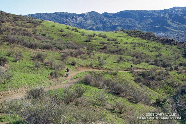
Mountain bikers working up the 2.6 mile Chumash Trail. Simi Hills and Simi Valley are in the distance. This section of the trail was burned in the Sesnon Fire in October 2008.
Here is a Live Browser View of a GPS trace of the Chumash Trail.
Related post: Chumash Trail Training, Chumash Trail – Sesnon & Simi Fires