Bandit 30K Course Preview

View on Bandit 30K course in Rocky Peak Park.

Because of a scheduling conflict, two friends weren’t going to be able to enter a challenging new Southern California trail race — the Bandit 30K/14K — so today we previewed the 30K course.

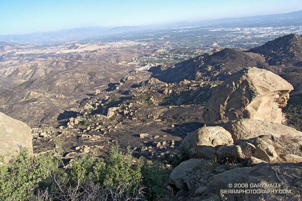
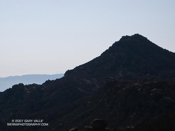
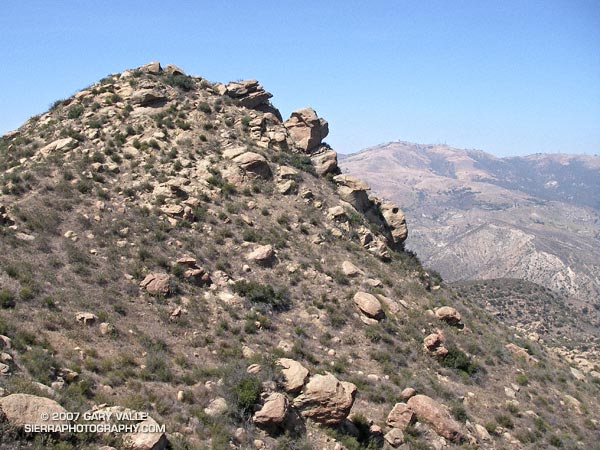
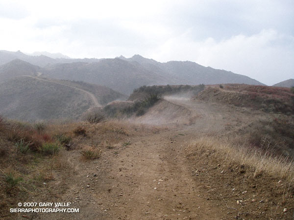
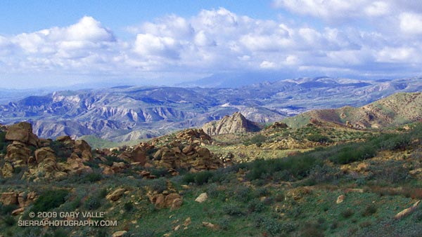
The race starts in Corriganville Park in Simi Valley, and incorporates several of my favorite local trails in Rocky Peak Park. With an elevation gain in excess of 3200 ft., and varied terrain, the race promises to be a memorable test of trail running skill and endurance. A plus is that it is being run in March, when the hills are green; there is water in the creek crossings; and wildflowers along the trails.

So how was the 30K course? In a few words — strenuous, scenic and technical — and more difficult than either the Boney Mountain 21K or Bulldog 22K.

Note: The Bandit Trail Runs are now Rocky Peak Trails.

Related post: Bandit 30K 2009

Rocky Peak After the Sesnon Fire

View southeast toward Porter Ranch from the summit of Rocky Peak following the Sesnon Fire.

My run to “Fossil Point” on Rocky Peak road, and side trip to Rocky Peak, was not the appalling experience I’ve come to expect when investigating a wildland area that has been overrun by a Southern California brush fire. Much of the chaparral along the fire road was not burned. Here are a few photos:

View southeast toward Porter Ranch from the summit of Rocky Peak (larger image).

View north toward Rocky Peak where the trail levels out, about 1.4 miles from the trailhead.

Burned area near viewpoint of Simi Valley about 2.3 miles from the trailhead.

View north from the summit of Rocky Peak. Rocky Peak fire road is on the far left, and the Johnson trail is on the right.

Unburned area along Rocky Peak fire road about 2.8 miles from the trailhead. Rocky Peak is the peak on the left.

False color image of slopes on the southwest side of Blind Canyon. The image has been modified to emphasize burned and unburned areas.

Some related posts: Chumash Trail – Sesnon & Simi Fires, San Fernando Valley from Rocky Peak

Rocky Peak

Rocky Peak in the Santa Susana Mountains

Each year, thousands hike, ride or run the 2.3 miles up Rocky Peak fire road to a high point with a nice view of Simi Valley. This is near the point marked “ROAD” in this overview photo. Many turn around here, but some continue along the main road to the Johnson Trail, Chumash Trail, Fossil Point, or beyond.

Another option is to follow a spur trail that branches off the main road at the high point about a quarter-mile to an airy overlook. From this viewpoint you can see the San Fernando Valley and surrounding mountains, and trace your route through Rocky Peak Park’s unique sandstone formations.

The overlook marks the end of the “easy” trail and the beginning of a rough, rudimentary trail that leads east-northeast through large boulders and outcrops to the summit of the Rocky Peak (2714′).

The summit of Rocky Peak is one of the points that defines the border between Los Angeles and Ventura counties. Last year, I was surprised to find evidence that a coyote had recently visited this summit!

Here’s a Google Earth image and Google Earth KMZ file of a GPS trace of my route to the summit.

Some related posts: San Fernando Valley from Rocky Peak, Rainy Morning on Rocky Peak Road.

Rainy Morning on Rocky Peak Road

Steam rises from Rocky Peak Road near Fossil Point.

It was nice to start a run in the rain and see a few mud puddles along the way! Southern California has had so little rain the last several months that any rain is something to celebrate. Since the start of the water year on July 1, the official weather station for Los Angeles at USC has recorded only 1.48 inches of rain. This is more than 5 inches below normal for the date, and depending on the rain received the next three days, the July 1 to January 31 rainfall total could be the 5th driest since recordkeeping began in 1877. (Downtown Los Angeles recorded only 0.02 inch over the three days, and according to a NWS statement issued February 1, July 1 to January 31 was the 5th driest on record.)

Unless you are particularly fond of mud, Rocky Peak Road is usually a good choice for a run if it’s raining, or has rained recently. Perched on a ridge on the border between Los Angeles and Ventura counties in Rocky Peak Park, its sandy soils are generally well drained. Except for a few short sections of road, mud isn’t too much of an issue unless you run beyond “fossil point,” the high point of the road at about mile 4.8. Here there is an outcrop of fossil scallop shells.

Related posts: San Fernando Valley from Rocky Peak, Chumash-Las Llajas LoopSunset Snow Shower

San Fernando Valley from Rocky Peak

San Fernando Valley from Rocky Peak

Updated May 3, 2008.

Whether it’s raining, 100 degrees, or snowing (!) you’re likely to see someone hiking, mountain-biking, or running Rocky Peak road in  Rocky Peak Park. Switchbacking up from the 118 freeway, the fire road climbs along the spine of the Santa Susana mountains. It’s proximity to the San Fernando and Simi Valleys, and array of route variations, make it the choice of many for a morning or afternoon workout.

It’s not because it’s easy — the route is steep from the start, gaining 500 ft. in the first three-quarters of a mile, and 1200 ft. in just over 2 miles.

Following are some approximate one-way distances and elevation gains.

Hummingbird Trail: 0.8 miles 500 ft.

High point at turnoff to peak: 2.4 miles 1200 ft.

Johnson Motorway: 3.2 miles 1350 ft.

Chumash Trail: 3.8 miles 1390 ft.

Fossils: 4.8 miles 1800 ft.

Las Llajas Loop turnoff: 5.5 miles 1950 ft.

End of Rocky Peak Rd at Las Llajas Cyn Rd.: 6.3 2070 ft.

Related posts: Chumash Trail Snow, Oat Mountain Snow, Sunset Snow Shower.

Google search: $g(Rocky Peak), $g(Hummingbird Trail), $g(Chumash Trail)