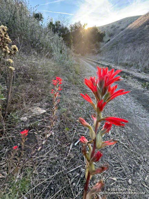
Paintbrush blooming in mid-December in Cheeseboro Canyon
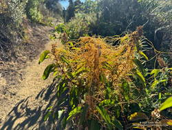
The paintbrush above, and the following Spring-blooming wildflowers were photographed on December 14,2023, on a trail run from the Victory Trailhead of Upper Las Virgenes Canyon Open Space Preserve. With the exception of the black mustard, the wildflowers were found along a half-mile stretch of dirt road connecting upper Las Virgenes and Cheeseboro Canyons.
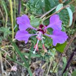
Elegant Clarkia.
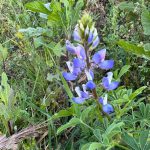
Lupine.
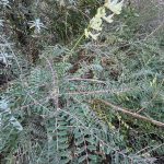
Milk vetch.
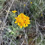
Golden yarrow.
Invasive black mustard and mallow.
The false Spring was the result of rain from Tropical Storm Hilary in August, an extended period of wetter than normal weather, and somewhat warmer Fall temperatures. The Water Year that ended September 30, 2023 was the seventh wettest on record for Los Angeles and Calendar Year 2023 was the sixth wettest.
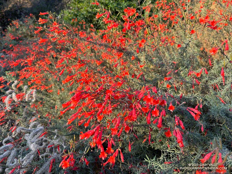
California fuchsia along Fire Road #30, near the Hub.
Downtown Los Angeles (USC) finished the 2022-2023 Water Year with 31.07 inches of rain, making it the seventh wettest on record in Los Angeles. The rainfall total includes about three inches of rain from former Hurricane Hilary as it moved through Southern California as a rare tropical storm and post-tropical cyclone.
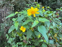
Canyon sunflower blooming out of season along Fire Road #30.
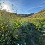
The effects of all that rain can be seen on just about any trail in Southern California. It has resulted in a false Spring in many areas, with greening hills, out-of-season wildflowers, flowing creeks, and profuse growth throughout the area.
This morning, I returned to the Top of Reseda and Topanga State Park to do a variation of the Trippet Ranch Loop and continue exploring and enjoying the unusual conditions.
After running up to the Hub, this variation does an out and back to Temescal Peak and Temescal Lookout. After returning to the Hub, the route continues on Eagle Springs Fire Road down to Trippet Ranch. From Trippet Ranch, it works back to the Top of Reseda using the Musch and Garapito Trails and connecting sections of fire road. This interactive, 3D terrain map shows a GPS track of the trail run.
Dodder growing on laurel sumac on the Musch Trail.
Visiting Temescal Peak and Temescal Lookout increases the run’s mileage from 12.5 miles to 16. On a clear day, the runner is rewarded with far-reaching views of the coast, West L.A., Downtown, and the surrounding mountains.
While most of the roads and trails on this route are frequently used and in decent condition, the Garapito Trail has been overgrown all Summer. As of October 8, it was still overgrown. Some people I’ve encountered on the trail were OK with this, but others haven’t been so happy. If desired, the trail can be bypassed by continuing to the Hub on Eagle Rock Fire Road and retracing your route back to the Top of Reseda.
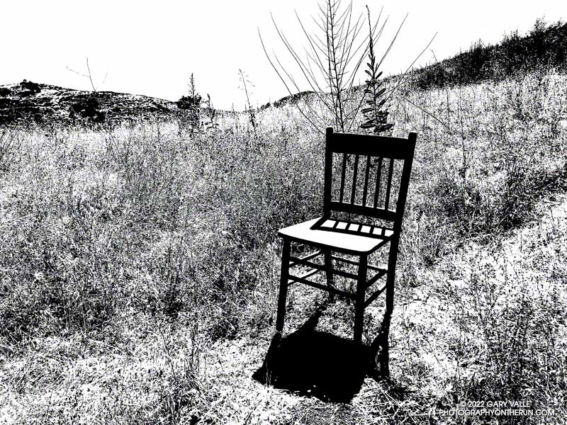
It was a little past 3:00 in the afternoon when I passed this straight-backed wooden chair along an Ahmanson Ranch trail. The Tempe thermometer clipped to my pack read over 100 degrees.
It gets REALLY hot at Ahmanson Ranch (Upper Las Virgenes Canyon Open Space Preserve). In the direct sun the temperature can be 10°F-15°F hotter than in the shade, and there is very little shade at Ahmanson. In-the-sun temperatures of 100°F or more are common in the Summer but can occur just about any time of the year.
There are two weather stations I use to get an idea of the weather conditions at Ahmanson Ranch — the Cheeseboro RAWS and Valley Circle Estates Weather Underground station. Weather station thermometers are usually shielded from the direct sun by a white, ventilated enclosure. The Cheeseboro RAWS includes a measurement of the “Fuel Temperature.” This is generally a better indication of the temperature experienced by a runner, hiker, or rider in the direct sun.
Update on July 29, 2023. Rounding the temperature to whole degrees, my West Hills weather station recorded a high of 100°F, or higher, for 15 consecutive days this July (7/13/23 to 7/27/23). The station is about three miles from the Victory Trailhead at Ahmanson Ranch.